Map of Nairn & Cawdor - OS Explorer Map 422 (Darnaway Forest, Ardersier & Culloden Muir) Format: Folded map Physical Size: 1270 x 952 mm (133 x 240 mm folded) Standard Publication Date: 16/09/2015 Weatherproof Publication Date: 16/09/2015
Map of Dornoch & Tain - OS Explorer Map 438 (Alness & Invergordon) Format: Folded map Physical Size: 1000 x 890 mm (134 x 227 mm folded) Standard Publication Date: 16/09/2015 Weatherproof Publication Date: 16/09/2015
Map of Huntly & Cullen - OS Explorer Map 425 (Portsoy & Aberchirder) Format: Folded map Physical Size: 1000 x 890 mm (134 x 227 mm folded) Standard Publication Date: 16/09/2015 Weatherproof Publication Date: 16/09/2015
Map of Monadhliath Mountains North & Strathdearn - OS Explorer Map 417 Standard Publication Date: 16/09/2015 Weatherproof Publication Date: 16/09/2015
Map of Skye - Portree & Bracadale - OS Explorer Map 410 Standard Publication Date: 16/09/2015 Weatherproof Publication Date: 16/09/2015
Map of Oban & North Lorn - OS Explorer Map 376 (Benderloch, Lismore & Loch Creran) Format: Folded map Physical Size: 952 x 1270 mm (133 x 240 mm folded) Standard Publication Date: 16/09/2015 Weatherproof Publication Date: 16/09/2015
Purchase the An Teallach & Slioch folded map: double-sided (boarded cover) from the OS Explorer Map range Format: Folded map Physical Size: 890 x 1000 mm (134 x 227 mm folded) Standard Publication Date: 16/09/2015 Weatherproof Publication Date: 16/09/2015

Map of Durness & Cape Wrath - OS Explorer Map 446 (Kinlochbervie & Rhiconich) Format: Folded map Physical Size: 1270 x 952 mm (133 x 240 mm folded) Standard Publication Date: 16/09/2015 Weatherproof Publication Date: 16/09/2015
Map of Loch Arkaig - OS Explorer Map 399 (Fort William & Corpach Gairlochy, Achnacarry & Kingie) Standard Publication Date: 02/06/2025 Weatherproof Publication Date: 16/09/2015
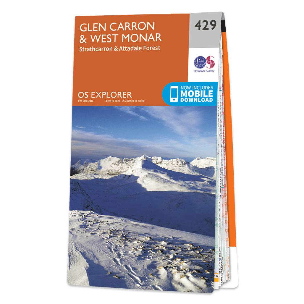
Map of Glen Carron & West Monar - OS Explorer Map 429 (Strathcarron & Attadale Forest) Format: Folded map Physical Size: 952 x 1270 mm (133 x 240 mm folded) Standard Publication Date: 16/09/2015 Weatherproof Publication Date: 16/09/2015
|
|