|
|
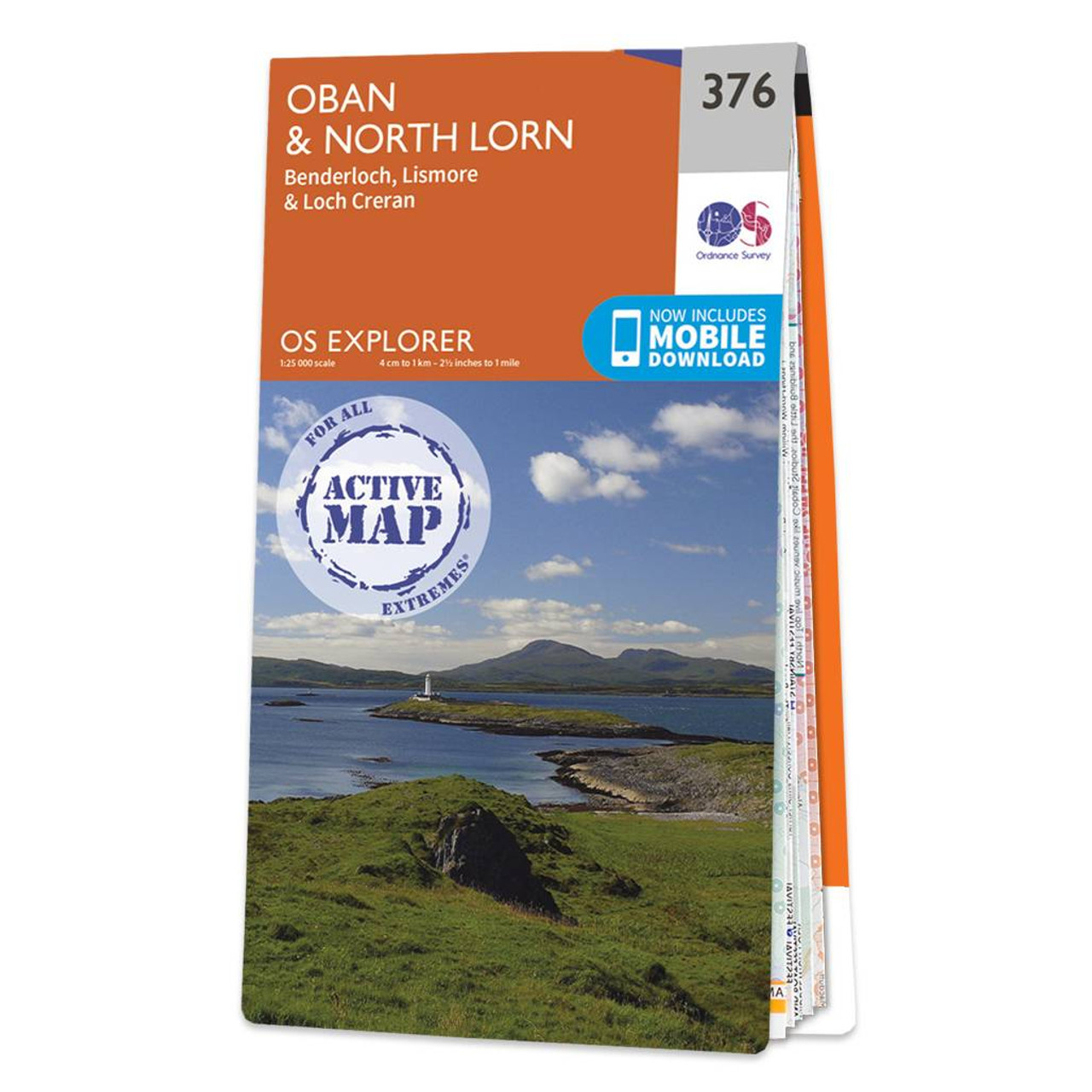
Map of Oban & North Lorn - OS Explorer Map 376 (Benderloch, Lismore & Loch Creran) Format: Folded map Physical Size: 952 x 1270 mm (133 x 240 mm folded) Standard Publication Date: 16/09/2015 Weatherproof Publication Date: 16/09/2015
Price: £16.99 from Ordnance Survey
| Retailer | Price | |
|---|---|---|
| Ordnance Survey | £16.99 | Go to shop |
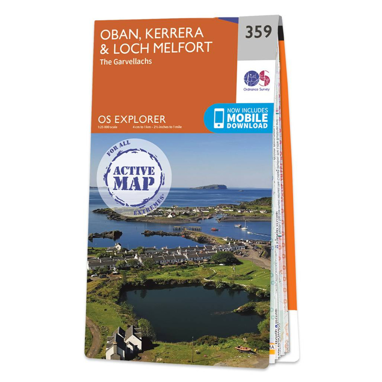
Map of Oban, Kerrera & Loch Melfort - OS Explorer Map 359 (The Garvellachs) Format: Folded map Physical Size: 952 x 1270 mm (134 x 227 mm folded) Standard Publication Date: 16/09/2015 Weatherproof Publication Date: 16/09/2015
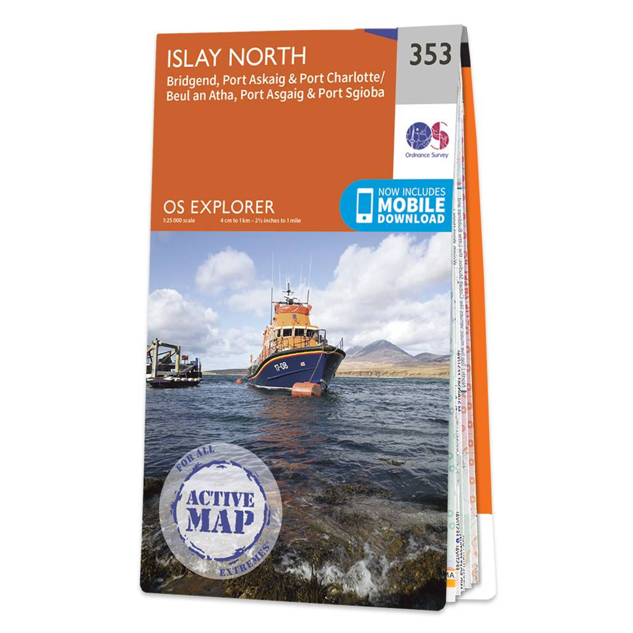
Map of Islay North - OS Explorer Map 353 (Port Askaig, Bridgend & Port Charlotte) Format: Folded map Physical Size: 890 x 1000 mm (134 x 227 mm folded) Standard Publication Date: 16/09/2015 Weatherproof Publication Date: 16/09/2015
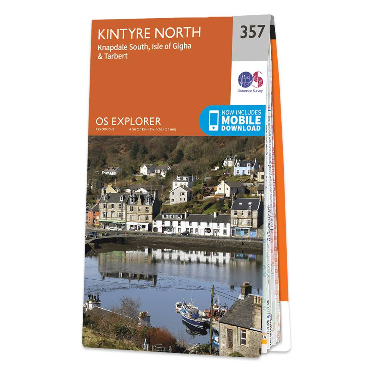
Map of Kintyre North - OS Explorer Map 357 (Knapdale South & Isle of Gigha Tarbert) Format: Folded map Physical Size: 1000 x 890 mm (134 x 227 mm folded) Standard Publication Date: 16/09/2015 Weatherproof Publication Date: 16/09/2015
|
|