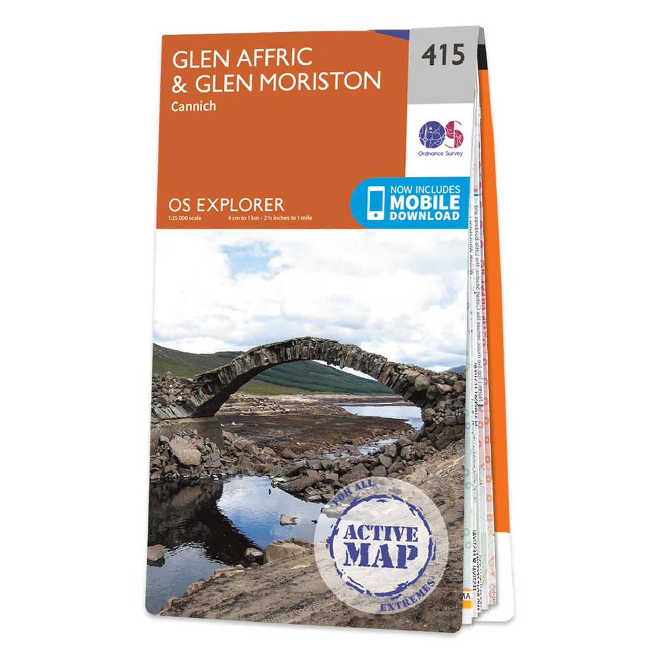
Map of Glen Affric & Glen Moriston - OS Explorer Map 415 (Cannich) Format: Folded map Physical Size: 952 x 1270 mm (133 x 240 mm folded) Standard Publication Date: 16/09/2015 Weatherproof Publication Date: 16/09/2015

Conquer Ben Nevis the highest mountain in Britain and soak up the spectacular panoramic views of the Scottish Highlands from its peak.Explore the myriad of activities on offer in Lochaber the Outdoor Capital of the UK. The area is famous for its challenging...
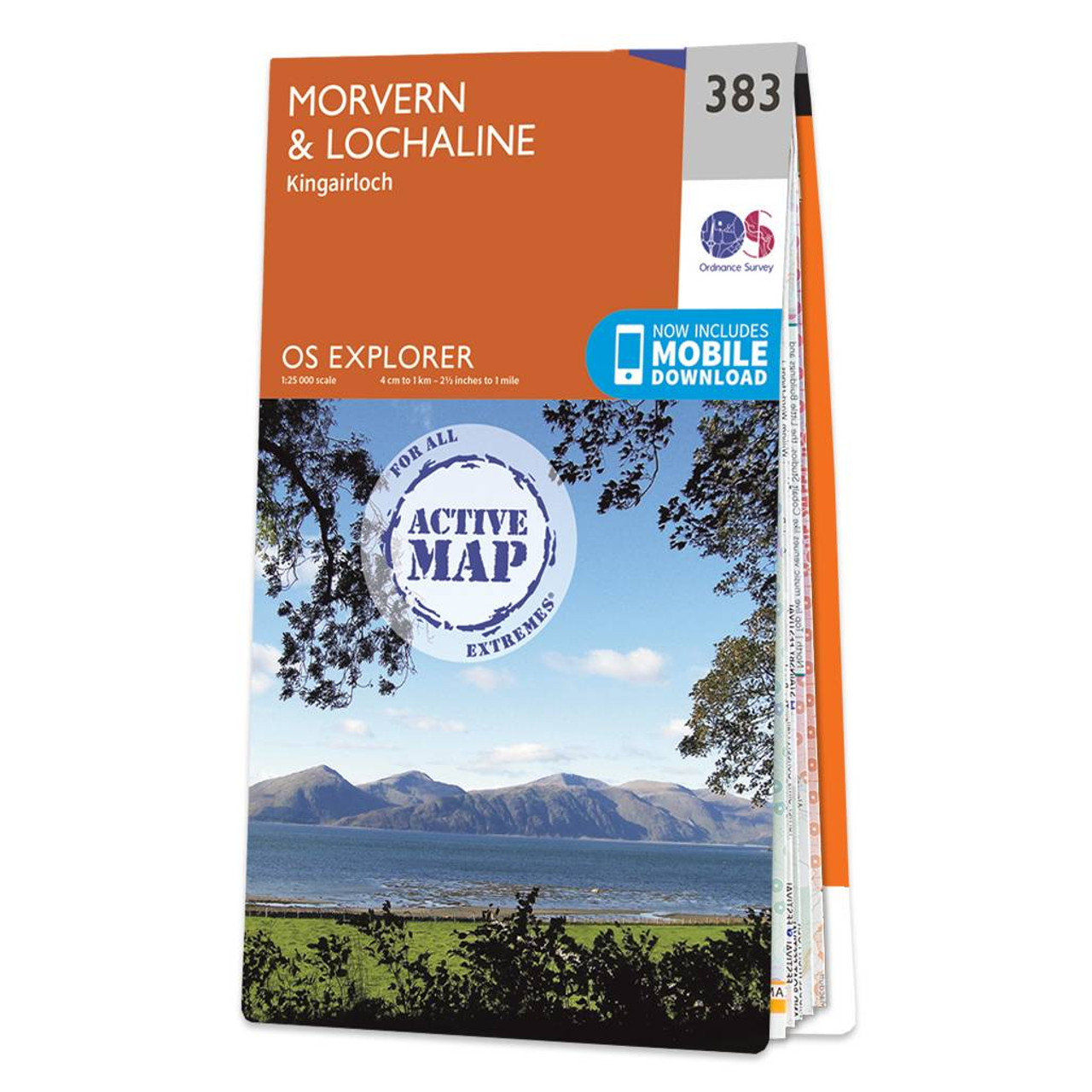
Map of Morvern & Lochaline - OS Explorer Map 383 (Kingairloch) Format: Folded map Physical Size: 1000 x 890 mm (134 x 227 mm folded) Standard Publication Date: 16/09/2015 Weatherproof Publication Date: 16/09/2015
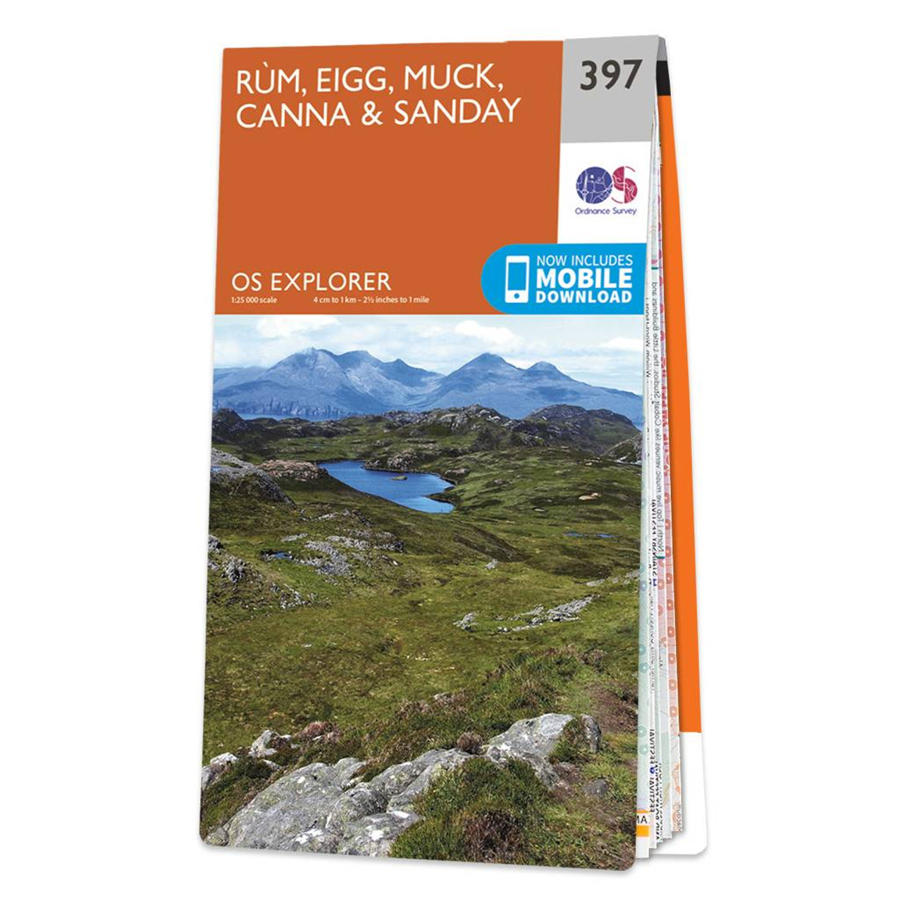
Map of Rùm, Eigg, Muck, Canna & Sanday - OS Explorer Map 397 Standard Publication Date: 16/09/2015 Weatherproof Publication Date: 16/09/2015
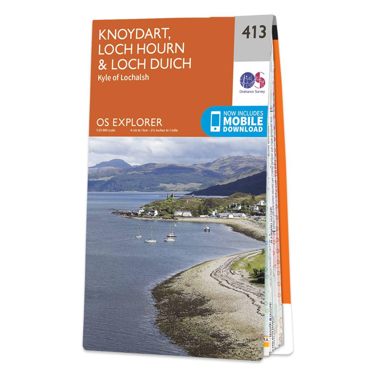
Map of Knoydart, Loch Hourn & Loch Duich - OS Explorer Map 413 (Kyle of Lochalsh) Format: Folded map Physical Size: 1000 x 890 mm (134 x 227 mm folded) Standard Publication Date: 16/09/2015 Weatherproof Publication Date: 16/09/2015
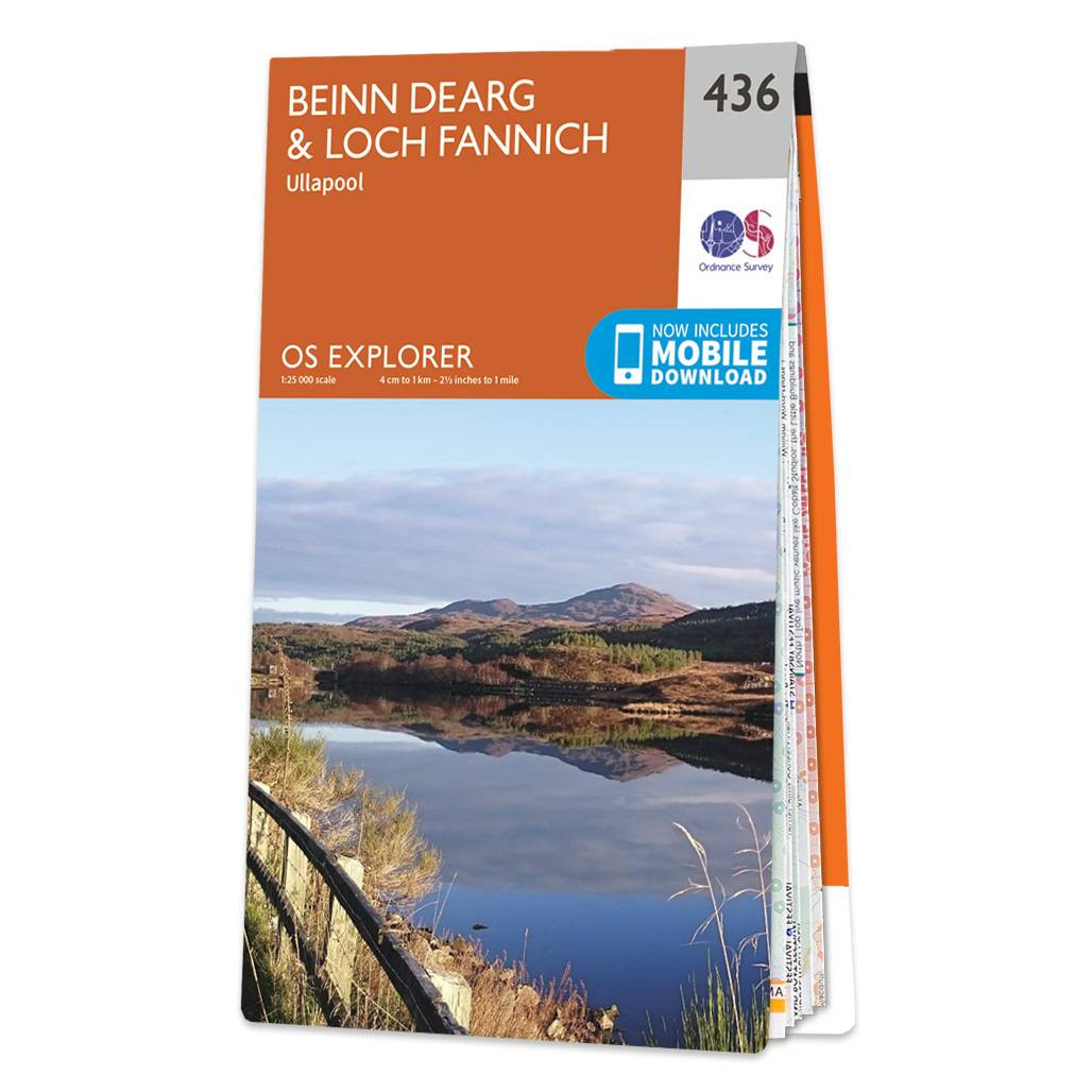
OS Explorer 436: Beinn Dearg & Loch Fannich double-sided paper map Format: Folded map Physical Size: 890 x 1000 mm (134 x 227 mm folded) Standard Publication Date: 16/09/2015 Weatherproof Publication Date: 16/09/2015
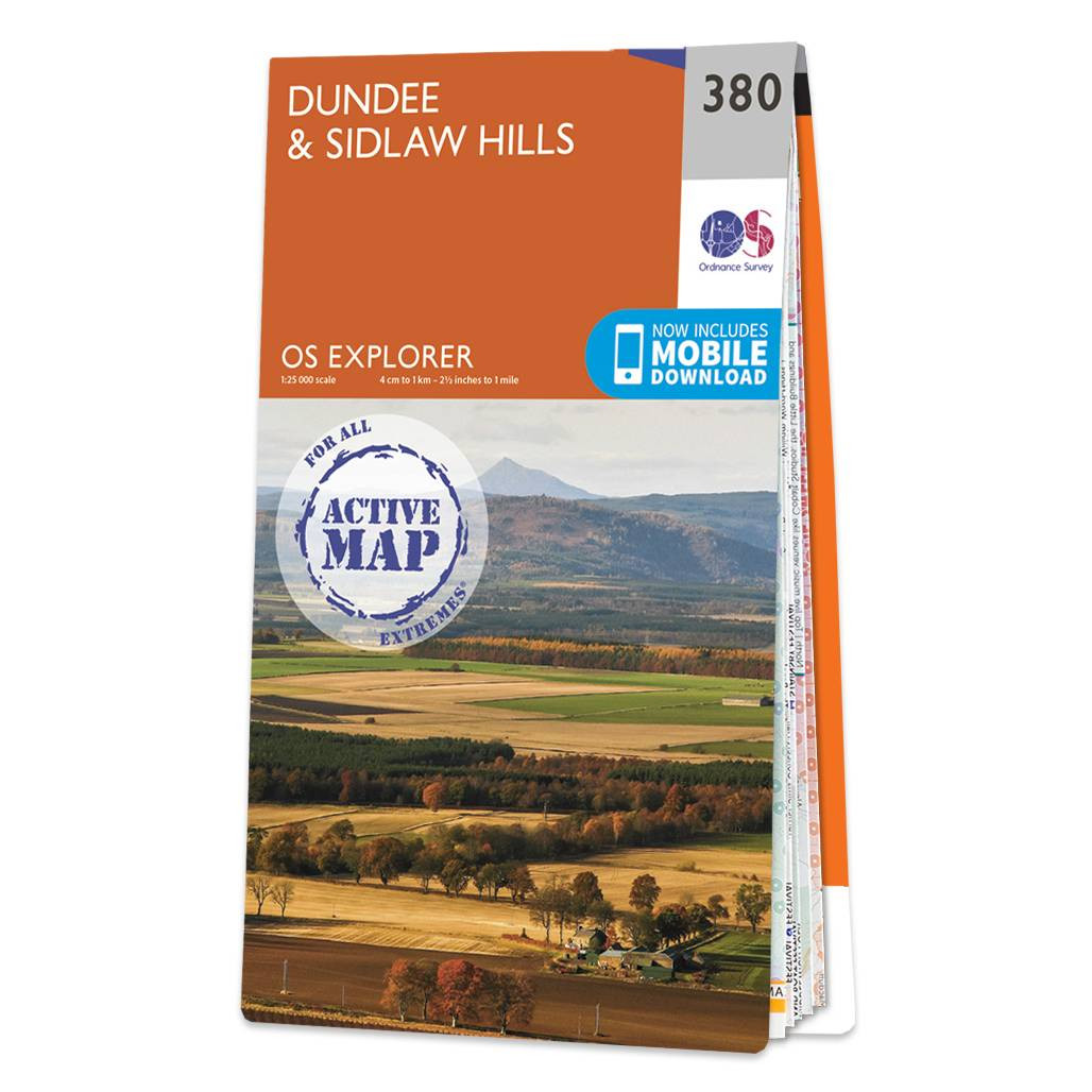
Map of Dundee & Sidlaw Hills - OS Explorer Map 380 Format: Folded map Physical Size: 1000 x 890 mm (134 x 227 mm folded) Standard Publication Date: 16/09/2015 Weatherproof Publication Date: 16/09/2015
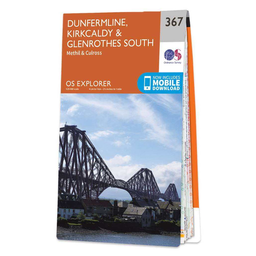
Map of Dunfermline, Kirkcaldy & Glenrothes South - OS Explorer Map 367 (Methil & Culross) Format: Folded map Physical Size: 1000 x 890 mm (134 x 227 mm folded) Standard Publication Date: 02/08/2017 Weatherproof Publication Date: 29/09/2017

Map of Coll & Tiree - OS Explorer Map 372 Format: Folded map Physical Size: 1000 x 890 mm (134 x 227 mm folded) Standard Publication Date: 16/09/2015 Weatherproof Publication Date: 16/09/2015

Map of Glen Cassley & Glen Oykel - OS Explorer Map 440 Format: Folded map Physical Size: 890 x 1000 mm (134 x 227 mm folded) Standard Publication Date: 16/09/2015 Weatherproof Publication Date: 16/09/2015
|
|