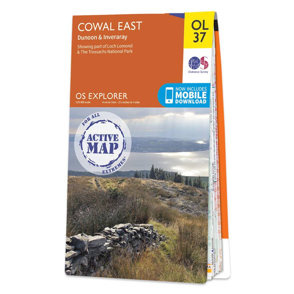
Map of Cowal East - OS Explorer Map OL 37 (Dunoon, Inveraray, Loch Lomond, Trossachs) Standard Publication Date: 10/02/2023 Weatherproof Publication Date: 31/05/2023
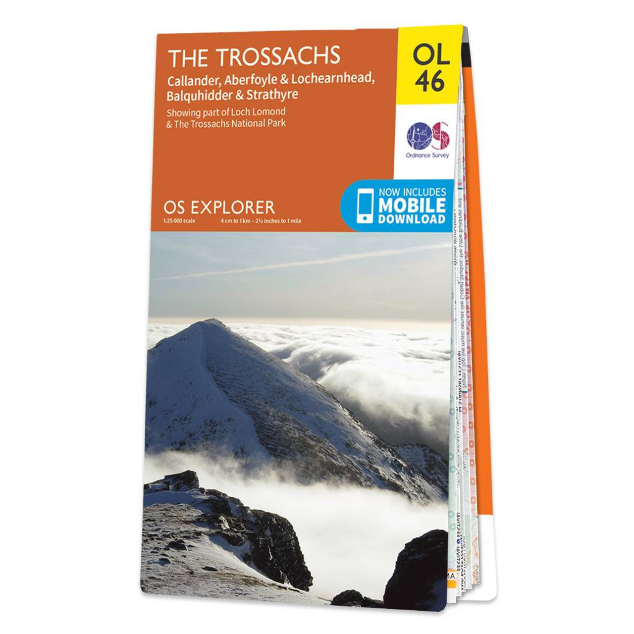
Map of The Trossachs - OS Explorer Map OL 46 (Callander, Aberfoyle & Lochearnhead Balquhidder & Strathyre) Standard Publcation Date: 08/01/2024 Weatherproof Publication Date: 08/01/2024
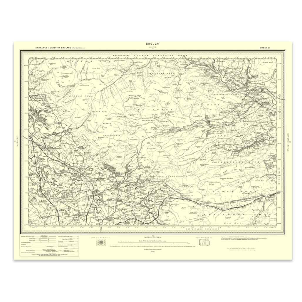
An authentic reproduction Ordnance Survey map of Brough from the Revised New Edition, 1896 to 1904. Printed flat, and delivered rolled in a tube. About our range of historical maps Our stunning Ordnance Survey Historical Maps make ideal gifts. Perfect...
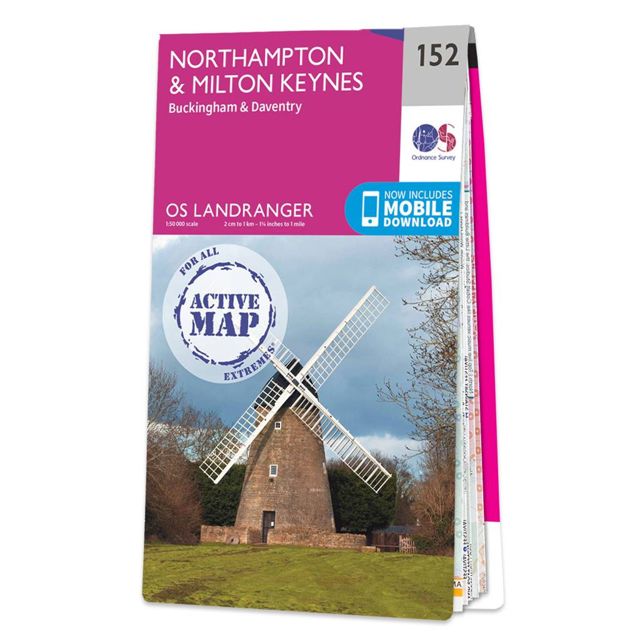
Northampton & Milton Keynes (inc. Buckingham & Daventry) map - OS Landranger 152 Format: Folded map Physical Size: 1000 x 890 mm (134 x 227 mm folded) Standard Publication Date: 24/02/2016 Weatherproof Publication Date: 24/02/2016
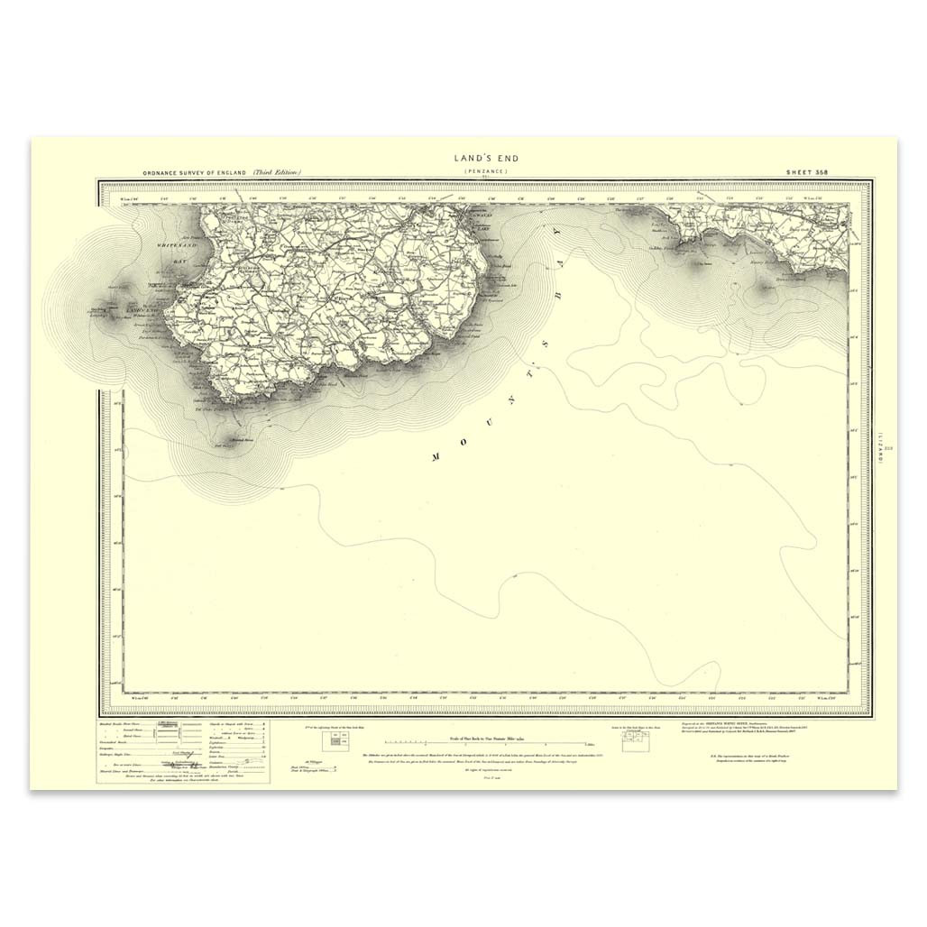
An authentic reproduction Ordnance Survey map of Land's End from the Revised New Edition, 1896 to 1904. Printed flat, and delivered rolled in a tube. About our range of historical maps Our stunning Ordnance Survey Historical Maps make ideal gifts. Perfect...
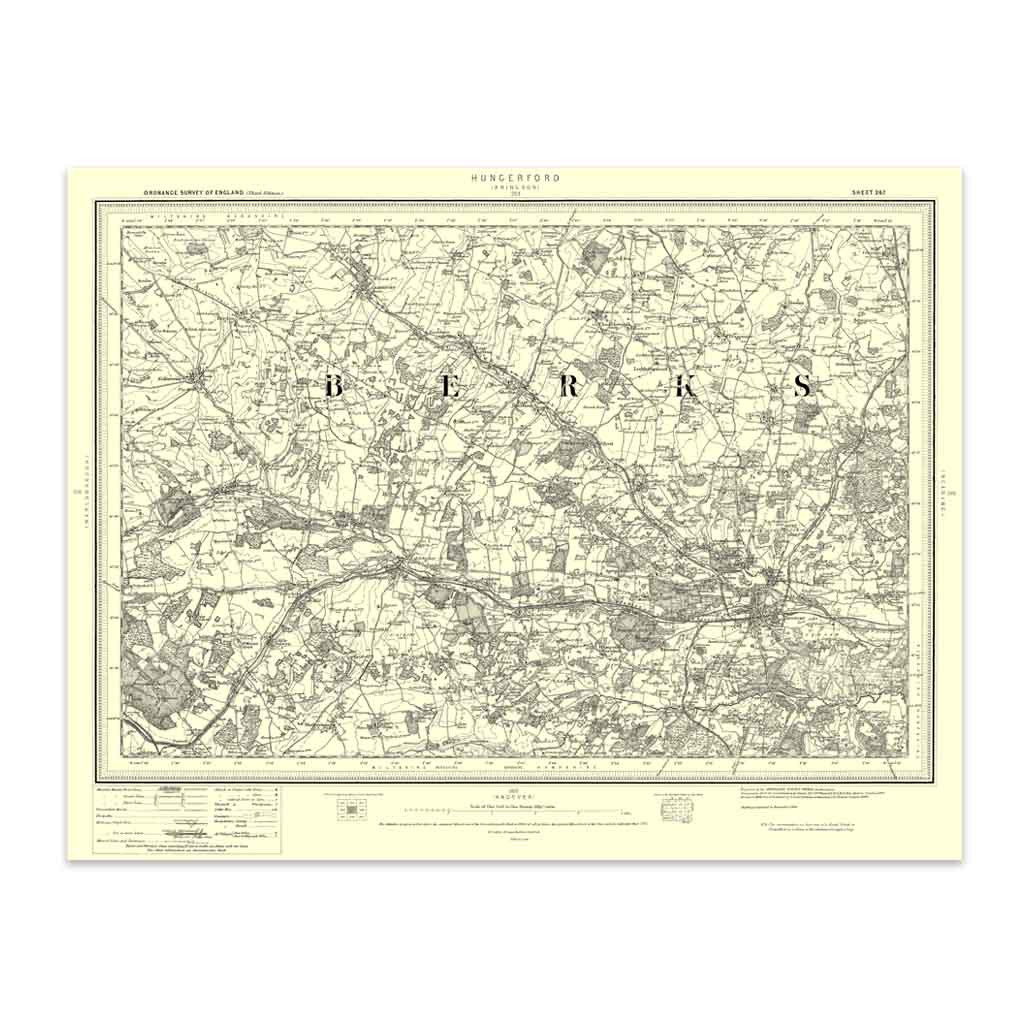
An authentic reproduction Ordnance Survey map of Hungerford from the Revised New Edition, 1896 to 1904. Printed flat, and delivered rolled in a tube. About our range of historical maps Our stunning Ordnance Survey Historical Maps make ideal gifts. Perfect...
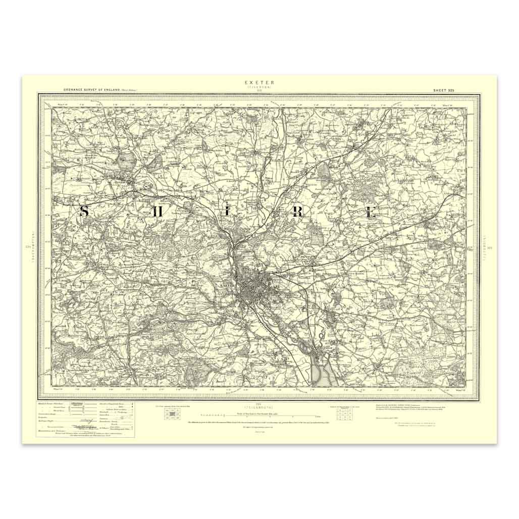
An authentic reproduction Ordnance Survey map of Exeter from the Revised New Edition, 1896 to 1904. Printed flat, and delivered rolled in a tube. About our range of historical maps Our stunning Ordnance Survey Historical Maps make ideal gifts. Perfect...
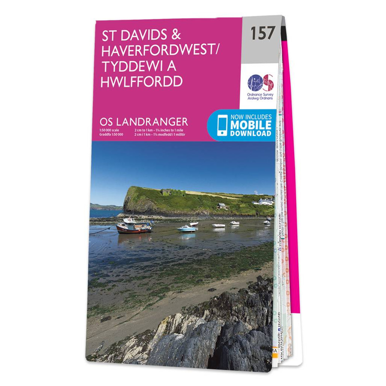
The Landranger map of St Davids & Haverfordwest is a must-have for your next trip to the area. Landranger maps are perfect for extensive hikes, cycling, and driving holidays.Ideal for planning days out or holidays, a strong feature of this map is the...
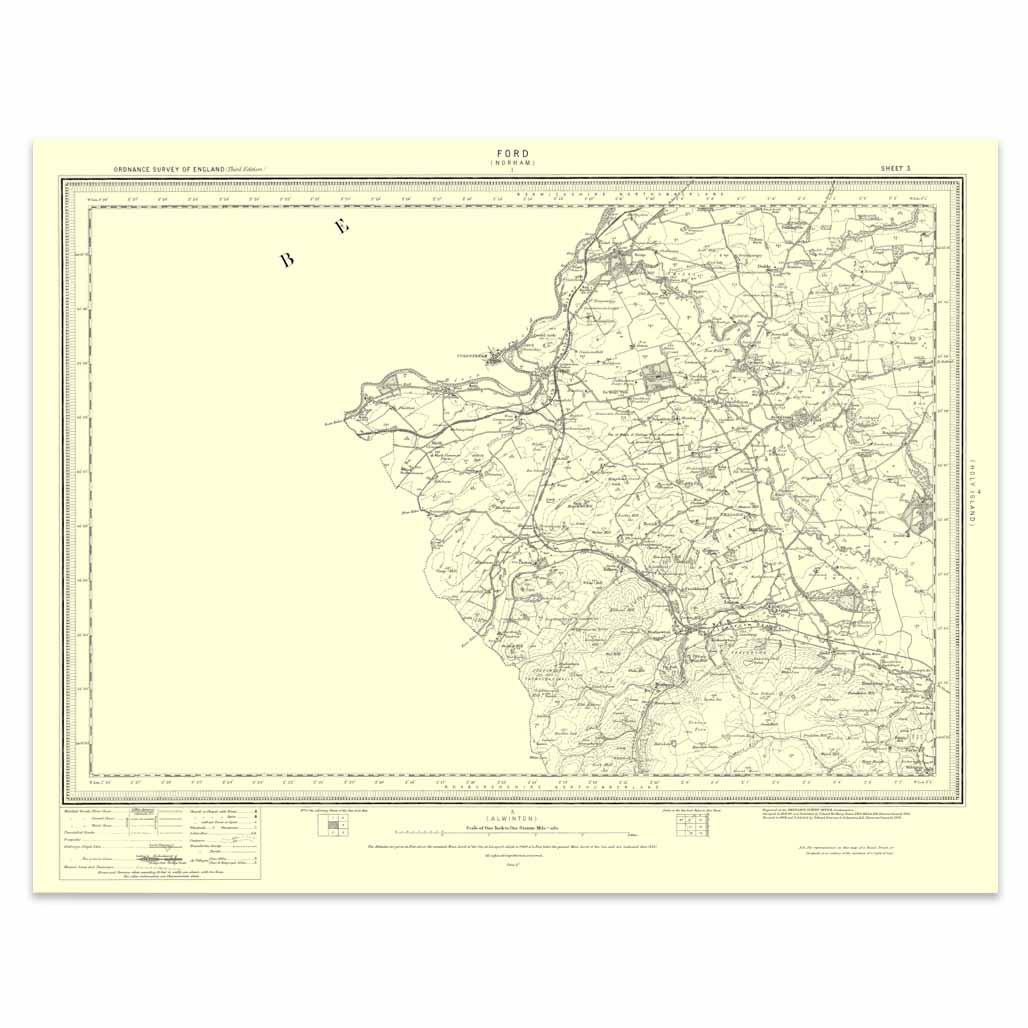
An authentic reproduction Ordnance Survey map of Ford from the Revised New Edition, 1896 to 1904. Printed flat, and delivered rolled in a tube. About our range of historical maps Our stunning Ordnance Survey Historical Maps make ideal gifts. Perfect for...

An authentic reproduction Ordnance Survey map of Reigate from the Revised New Edition, 1896 to 1904. Printed flat, and delivered rolled in a tube. About our range of historical maps Our stunning Ordnance Survey Historical Maps make ideal gifts. Perfect...
|
|