|
|

An authentic reproduction Ordnance Survey map of Romford from the Revised New Edition, 1896 to 1904. Printed flat, and delivered rolled in a tube. About our range of historical maps Our stunning Ordnance Survey Historical Maps make ideal gifts. Perfect for map lovers, genealogists and history buffs alike. These high quality historical maps showcase the transformation of landscapes, towns, and rural areas from 1896 to 1904. An ideal range if you're uncovering family roots or exploring your local heritage. Each authentic, reproduction map provides a fascinating glimpse into the past. Now printed on a premium 130gsm wallpaper substrate, allowing the map to be hot mounted and framed. Originally scaled at one inch to the mile, these maps have been slightly resized to fit modern printers. Our vintage range make a unique and thoughtful gift or a striking addition to any home or office. This map will be printed on sheets measuring 535 x 405 mm, then will be hand trimmed. Due to the hand finishing nature of this product the final size may vary.
Price: £11.99 from Ordnance Survey
| Retailer | Price | |
|---|---|---|
| Ordnance Survey | £11.99 | Go to shop |

Improve your walking safety and make more of your time outdoors with this concise guidebook for walkers, full of step-by-step guides with clear illustrations. Navigation Skills for Walkers will help you grow your skills in map reading, using a compass,...
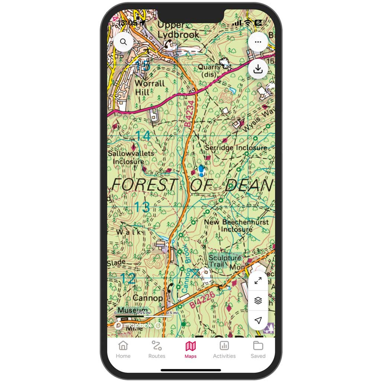
Get unlimited access to detailed topographic mapping for the whole of Great Britain, Northern Ireland, USA, Australia and New Zealand with OS Maps Premium. OS Maps makes it easy to discover, plan and follow and explore routes in the great outdoors. Premium...

Get unlimited access to detailed topographic mapping for the whole of Great Britain, Northern Ireland, USA, Australia and New Zealand with OS Maps Premium. OS Maps makes it easy to discover, plan and follow and explore routes in the great outdoors. Premium...
|
|