|
|

The OS Explorer map of the Long Mynd and Wenlock Edge, including Church Stretton and Craven Arms. Explore the iconic Shropshire Hills Area of Outstanding Natural beauty, valleys of hills like beautiful green waves in the landscape. Explorer 217 is packed full of beautiful scenery such as Church Stretton, Little Stretton, Brown Clee Hill, Craven Arms, the River Onny, Much Wenlock, and the Stiperstones. Our OS Explorer maps are perfect for day-tripping, extensive hikes, and cycling. They come in both standard and Weatherproof Active, so you'll never get caught out in a storm. This map also comes with a free digital download, so you can access it across your devices — making for a more convenient companion. Format: Folded map Physical Size: 952 x 1270 mm (133 x 240 mm folded) Standard Publication Date: 20/08/2018 Weatherproof Publication Date: 20/08/2018
Price: £12.99 from Ordnance Survey
| Retailer | Price | |
|---|---|---|
| Ordnance Survey | £12.99 | Go to shop |
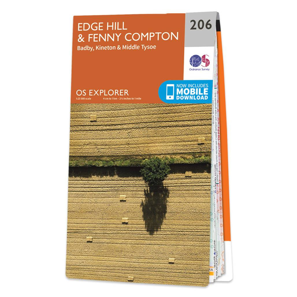
Map of Edge Hill & Fenny Compton - OS Explorer Map 206 (Badby, Kineton & Middle Tysoe) Format: Folded map Physical Size: 1270 x 952 mm (133 x 240 mm folded) Standard Publication Date: 16/09/2015 Weatherproof Publication Date: 31/05/2023

Map of Helmsdale & Strath of Kildonan - OS Explorer Map 444 Format: Folded map Physical Size: 1000 x 890 mm (134 x 227 mm folded) Standard Publication Date: 16/09/2015 Weatherproof Publication Date: 16/09/2015

Map of Coll & Tiree - OS Explorer Map 372 Format: Folded map Physical Size: 1000 x 890 mm (134 x 227 mm folded) Standard Publication Date: 16/09/2015 Weatherproof Publication Date: 16/09/2015
|
|