|
|
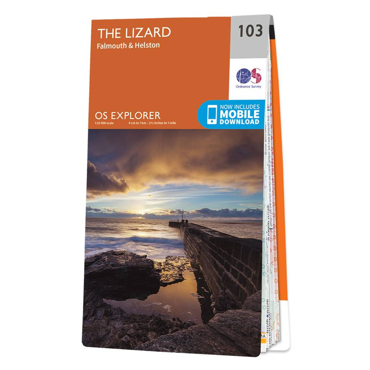
Dive on in to The Lizard Explorer map — the ideal companion for exploring The Lizard, Falmouth, and Helston. Trek across Goonhilly Downs, as well as the rest of the Lizard Peninsula.Discover Falmouth, the world's 3rd largest natural harbour. Famous for being the start and finish point for several round the world record breaking voyages, including those of Sir Robin Knox-Johnston and Dame Ellen MacArthur.Take a trip to Helston, a beautiful little town with extensive history. The name from the Cornish 'Hen lis' or 'old court', with 'ton' added later to denote a Saxon manor; the Domesday Book refers to 'Henliston' — which serves as the name of a road in Helston.All our Explorer makes come with a free mobile download, making for a convenient companion. Standard Publication Date: 23/11/2020 Weatherproof Publication Date: 16/09/2015
Price: £12.99 from Ordnance Survey
| Retailer | Price | |
|---|---|---|
| Ordnance Survey | £12.99 | Go to shop |

Map of Helmsdale & Strath of Kildonan - OS Explorer Map 444 Format: Folded map Physical Size: 1000 x 890 mm (134 x 227 mm folded) Standard Publication Date: 16/09/2015 Weatherproof Publication Date: 16/09/2015

Map of Coll & Tiree - OS Explorer Map 372 Format: Folded map Physical Size: 1000 x 890 mm (134 x 227 mm folded) Standard Publication Date: 16/09/2015 Weatherproof Publication Date: 16/09/2015
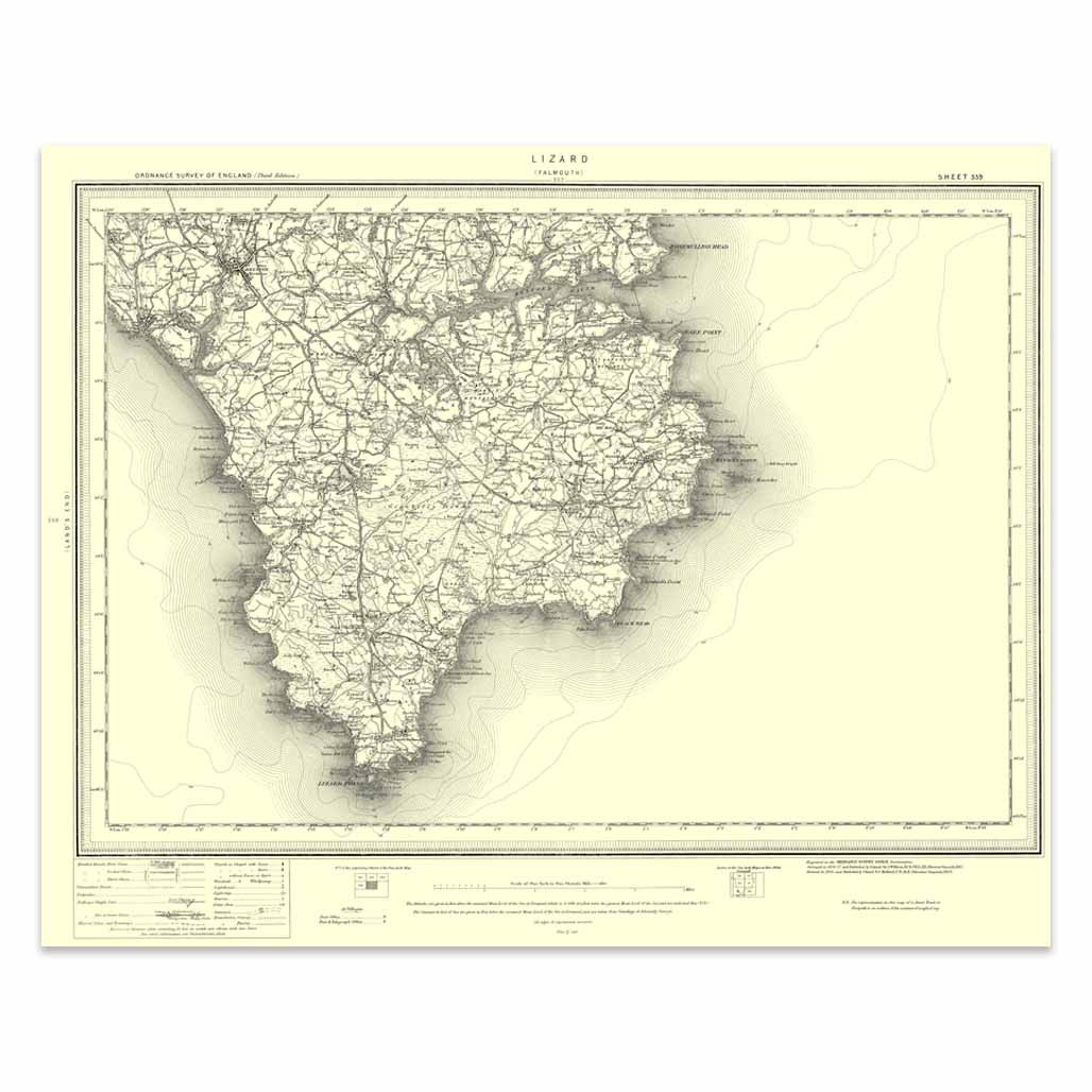
An authentic reproduction Ordnance Survey map of Lizard from the Revised New Edition, 1896 to 1904. Printed flat, and delivered rolled in a tube. About our range of historical maps Our stunning Ordnance Survey Historical Maps make ideal gifts. Perfect...
|
|