|
|
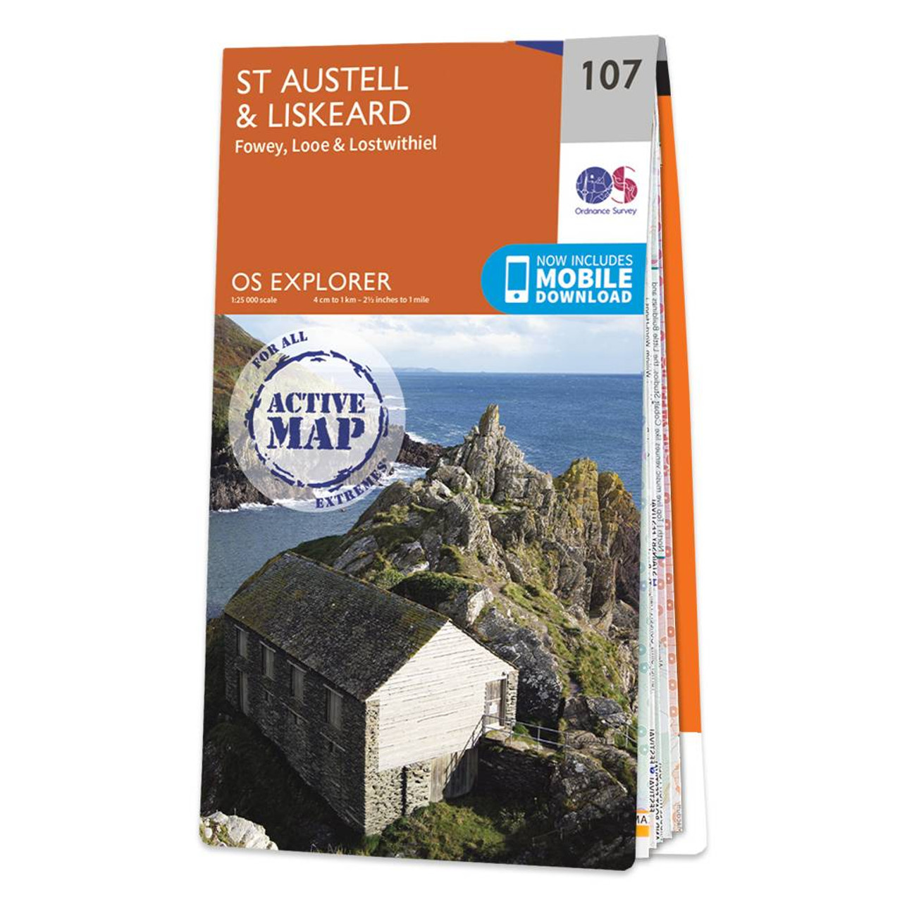
The OS Explorer map of St Austell & Liskeard is a must-have companion for your next trip to the area. Explore St Austell Liskeard, Lostwithiel, and Bodmin. Beautiful views can be seen from St Austel bay, all along the coast looking out to the English Channel.Some highlights of this map include Looe Harbour, Carnglaze Caverns, and Bodmin Moor.The latter being an AONB, a heather covered upland granite moor still grazed by moorland ponies. Our Explorer maps are perfect for day-tripping, extensive hikes, and cycling. They come in both standard and Weatherproof Active — so you'll never get caught out in a storm. This map also comes with a free digital download, so you can access it across your devices, making for a convenient companion. Standard Publication Date: 04/03/2025 Weatherproof Publication Date: 04/03/2025
Price: £16.99 from Ordnance Survey
| Retailer | Price | |
|---|---|---|
| Ordnance Survey | £16.99 | Go to shop |

Map of Helmsdale & Strath of Kildonan - OS Explorer Map 444 Format: Folded map Physical Size: 1000 x 890 mm (134 x 227 mm folded) Standard Publication Date: 16/09/2015 Weatherproof Publication Date: 16/09/2015

Map of Coll & Tiree - OS Explorer Map 372 Format: Folded map Physical Size: 1000 x 890 mm (134 x 227 mm folded) Standard Publication Date: 16/09/2015 Weatherproof Publication Date: 16/09/2015
Purchase the Annandale folded map: double-sided (boarded cover) from the OS Explorer Map range Format: Folded map Physical Size: 1000 x 890 mm (134 x 227 mm folded) Standard Publication Date: 16/09/2015 Weatherproof Publication Date: 16/09/2015
|
|