StarNIC   V 1.3


Image of Ordnance Survey OS Map of Skye - Sleat: Explorer 412
 

Ordnance Survey OS Map of Skye - Sleat: Explorer 412

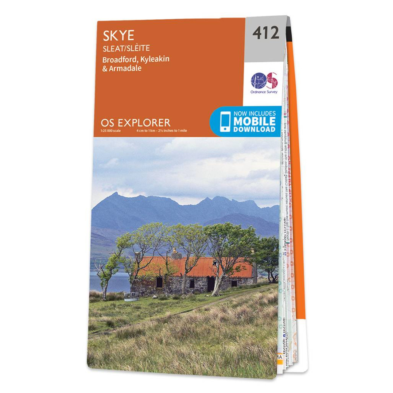
Map of Skye - Sleat - OS Explorer Map 412 (Broadford, Kyleakin & Armadale) Format: Folded map Physical Size: 952 x 1270 mm (133 x 240 mm folded) Standard Publication Date: 16/09/2015 Weatherproof Publication Date: 16/09/2015

Price: £12.99 from Ordnance Survey

Retailer Retailer Product Description Price  
Ordnance Survey Ordnance Survey OS Map of Skye - Sleat: Explorer 412 £12.99 Go to shop

Related Products

 
Image of Ordnance Survey OS Map of Skye - Dunvegan: Explorer 407
 

Ordnance Survey OS Map of Skye - Dunvegan: Explorer 407

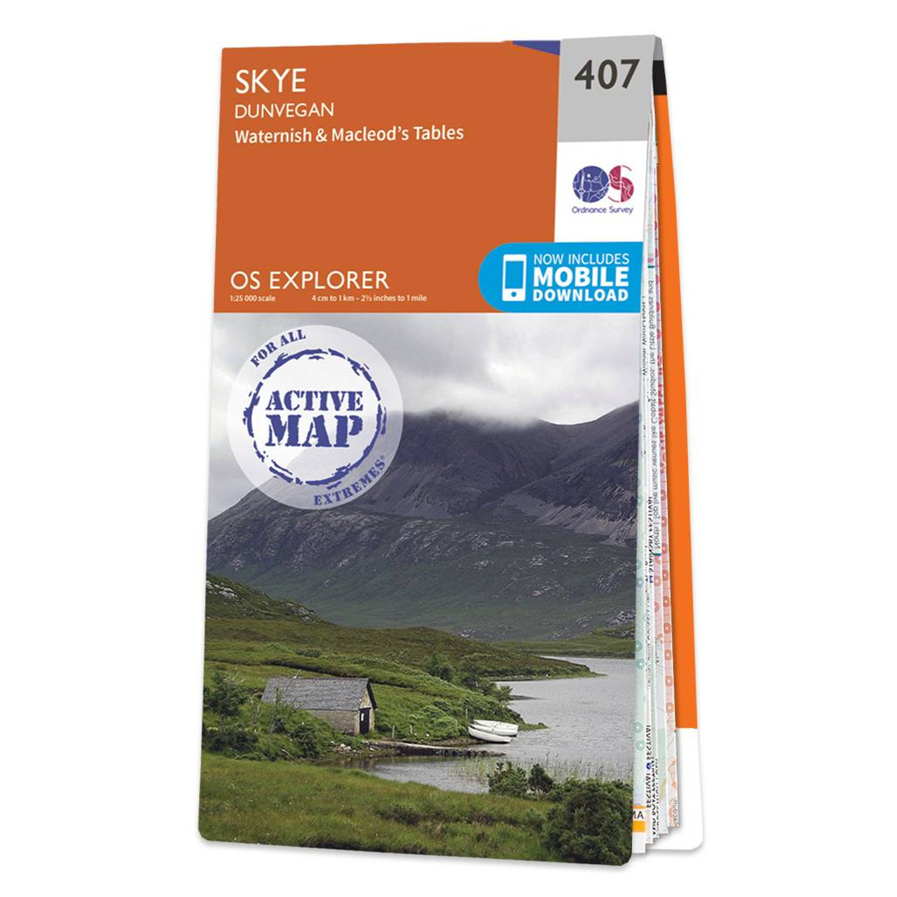
Map of Skye - Dunvegan - OS Explorer Map 407 (Waternish & Macleod's Tables) Standard Publication Date: 16/09/2015 Weatherproof Publication Date: 16/09/2015


Image of Ordnance Survey OS Map of Skye - Cuillin Hills: Explorer 411
 

Ordnance Survey OS Map of Skye - Cuillin Hills: Explorer 411

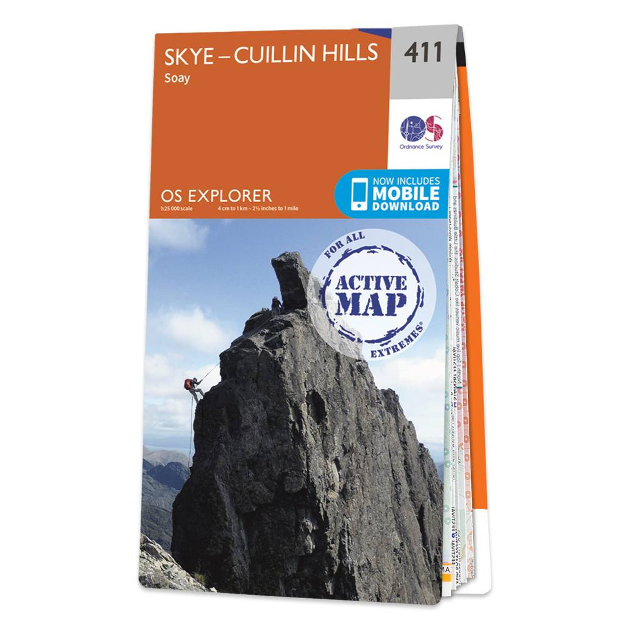
Map of Skye - Cuillin Hills - OS Explorer Map 411 (Soay) Standard Publication Date: 16/09/2015 Weatherproof Publication Date: 16/09/2015


Image of Ordnance Survey OS Map of Skye - Portree & Bracadale: Explorer 410
 

Ordnance Survey OS Map of Skye - Portree & Bracadale: Explorer 410

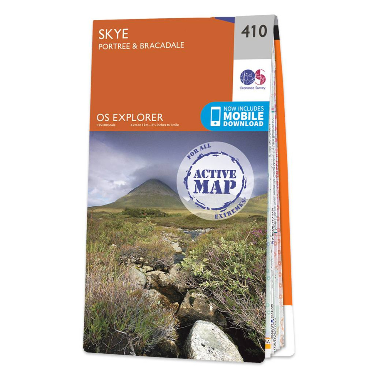
Map of Skye - Portree & Bracadale - OS Explorer Map 410 Standard Publication Date: 16/09/2015 Weatherproof Publication Date: 16/09/2015


Online Shopping Price Comparison UK © StarNIC 2016 - 2025 All rights reserved.

Designated trademarks brands Logos and certain artworks used
on StarNIC.net are the property of their respective owners.