|
|
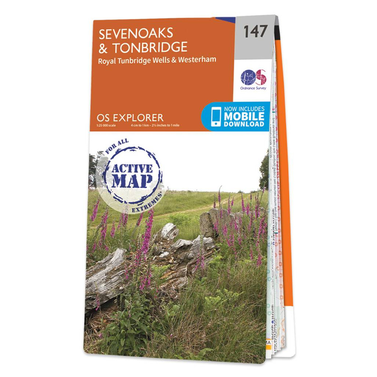
The OS Explorer map of Sevenoaks and Tonbridge, including Royal Tunbridge Wells and Westerham. This map covers three Areas of Outstanding Natural Beauty: the Kent Downs, High Weald, and the Surrey Hills.Explorer 147 shows part of the North Downs Way which passes through north of Sevenoaks. Other highlights include: the stunning Royal Tunbridge Wells, the tranquil Rivers Eden and Medway, and Bough Beech Reservoir — a haven for wildlife.Our Explorer maps are perfect for day-tripping, extensive hikes, and cycling. They come in both standard and Weatherproof Active — so you'll never get caught out in a storm. This map also comes with a free digital download, so you can access it across your devices, making for a convenient companion. Standard Publication Date: 18/03/2024 Weatherproof Publication Date: 14/06/2024
Price: £16.99 from Ordnance Survey
| Retailer | Price | |
|---|---|---|
| Ordnance Survey | £16.99 | Go to shop |

Map of Helmsdale & Strath of Kildonan - OS Explorer Map 444 Format: Folded map Physical Size: 1000 x 890 mm (134 x 227 mm folded) Standard Publication Date: 16/09/2015 Weatherproof Publication Date: 16/09/2015

Map of Coll & Tiree - OS Explorer Map 372 Format: Folded map Physical Size: 1000 x 890 mm (134 x 227 mm folded) Standard Publication Date: 16/09/2015 Weatherproof Publication Date: 16/09/2015
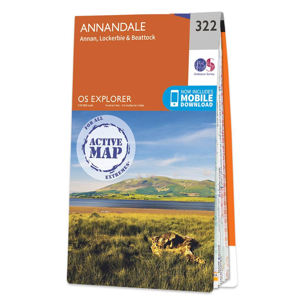
Purchase the Annandale folded map: double-sided (boarded cover) from the OS Explorer Map range Format: Folded map Physical Size: 1000 x 890 mm (134 x 227 mm folded) Standard Publication Date: 16/09/2015 Weatherproof Publication Date: 16/09/2015
|
|