|
|

Map of Peterborough - OS Explorer Map 227 (March, Whittlesey, Chatteris & Oundle) Format: Folded map Physical Size: 890 x 1000 mm (134 x 227 mm folded) Standard Publication Date: 16/09/2015 Weatherproof Publication Date: 16/09/2015
Price: £12.99 from Ordnance Survey
| Retailer | Price | |
|---|---|---|
| Ordnance Survey | £12.99 | Go to shop |

Map of Wisbech & Peterborough North - OS Explorer Map 235 (Market Deeping & Crowland) Standard Publication Date: 16/09/2015 Weatherproof Publication Date: 16/09/2015

Map of Helmsdale & Strath of Kildonan - OS Explorer Map 444 Format: Folded map Physical Size: 1000 x 890 mm (134 x 227 mm folded) Standard Publication Date: 16/09/2015 Weatherproof Publication Date: 16/09/2015
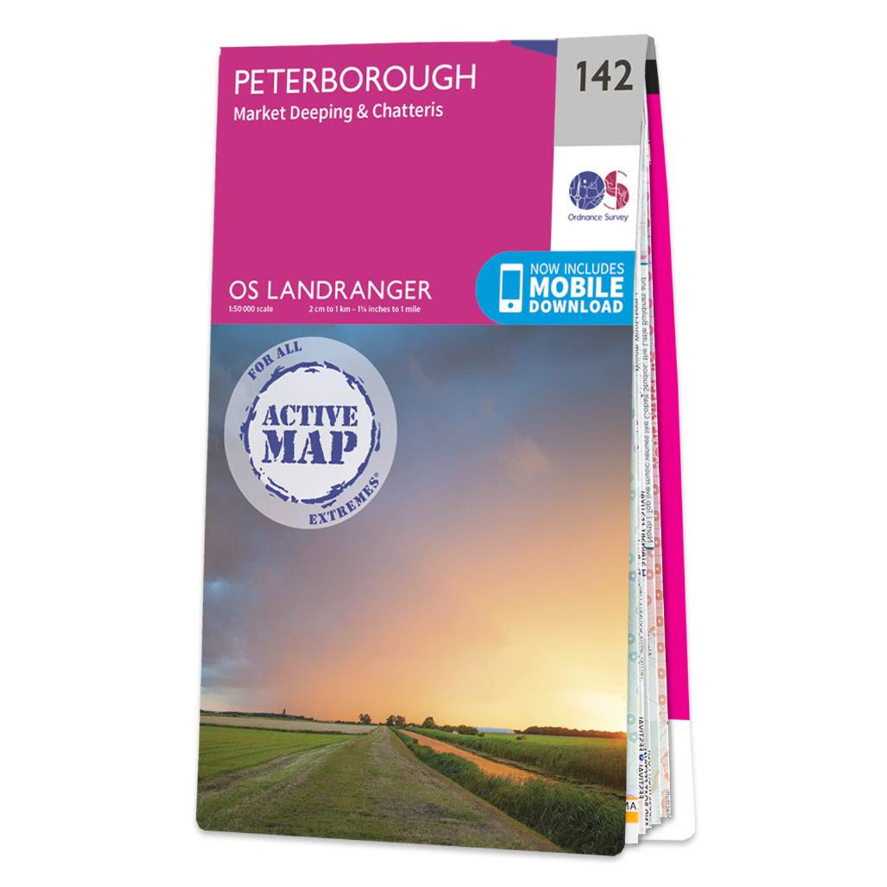
Peterborough (inc. Market Deeping & Chatteris) map - OS Landranger 142 Format: Folded map Physical Size: 1000 x 890 mm (134 x 227 mm folded) Standard Publication Date: 24/02/2016 Weatherproof Publication Date: 24/02/2016
|
|