|
|
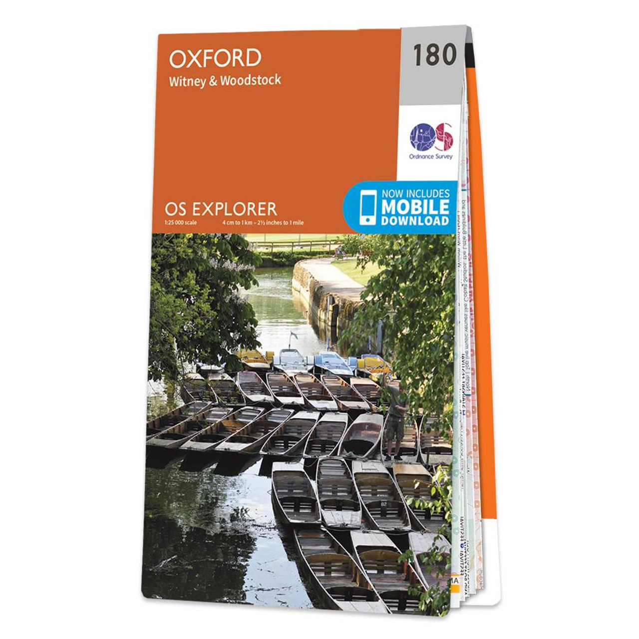
The OS Explorer map of Oxford, including Witney and Woodstock, is a must-have when planning a trip to the area.Explore the area, see the original Woodstock, and take many inspiring scenic walks. Some highlights on this map include Rivers Thame, Evenlode, Cherwell & Windrush, South-West corner of the Cotswolds, as well as part of the Thames Path and the idyllic Oxford Canal.Our Explorer maps are perfect for day-tripping, extensive hikes, and cycling. They come in both standard and Weatherproof Active — so you'll never get caught out in a storm. This map also comes with a free digital download, so you can access it across your devices, making for a convenient companion. Standard Publication Date: 16/09/2015 Weatherproof Publication Date: 16/09/2015
Price: £12.99 from Ordnance Survey
| Retailer | Price | |
|---|---|---|
| Ordnance Survey | £12.99 | Go to shop |

Map of Helmsdale & Strath of Kildonan - OS Explorer Map 444 Format: Folded map Physical Size: 1000 x 890 mm (134 x 227 mm folded) Standard Publication Date: 16/09/2015 Weatherproof Publication Date: 16/09/2015

Map of Coll & Tiree - OS Explorer Map 372 Format: Folded map Physical Size: 1000 x 890 mm (134 x 227 mm folded) Standard Publication Date: 16/09/2015 Weatherproof Publication Date: 16/09/2015
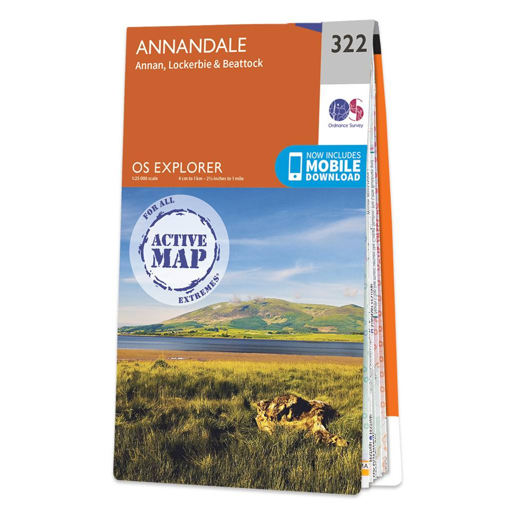
Purchase the Annandale folded map: double-sided (boarded cover) from the OS Explorer Map range Format: Folded map Physical Size: 1000 x 890 mm (134 x 227 mm folded) Standard Publication Date: 16/09/2015 Weatherproof Publication Date: 16/09/2015
|
|