|
|
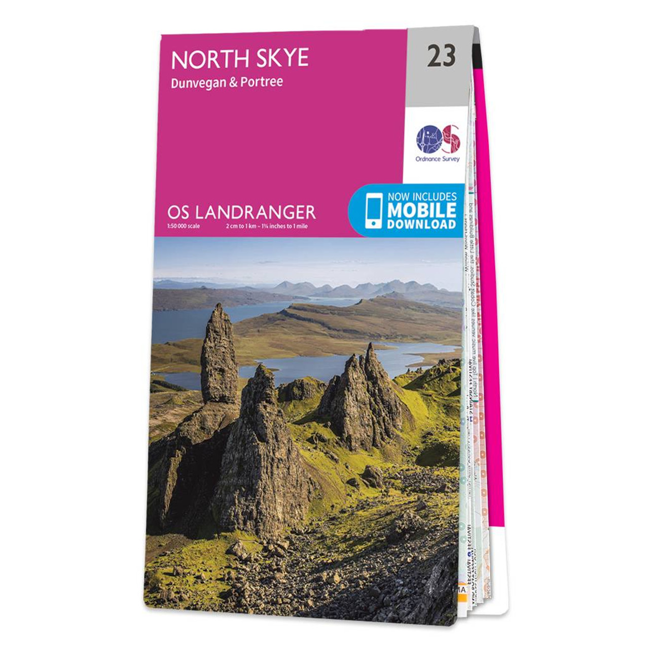
The Landranger map of North Skye, including Dunvegan and Portree is a must-have for your next trip to the area. Landranger maps are perfect for longer hikes, cycling, and driving holidays as they cover a larger area in a smaller scale.Ideal for planning days out or holidays in the Northern area of the Isle of Skye, an area of stunning scenery and natural beauty, there is a variety to see such as Trotternish, Loch Snizort, Idrigill Point, The Storr, Rubha Hunish, Dunvegan Head, Duirinish and the Ascrib Islands.Our Landranger maps come in standard or Weatherproof Active and you'll also receive a free download for your devices — making for a walking and hiking companion. Publication Date: 24/02/2016 Weatherproof Publication Date: 24/02/2016
Price: £12.99 from Ordnance Survey
| Retailer | Price | |
|---|---|---|
| Ordnance Survey | £12.99 | Go to shop |
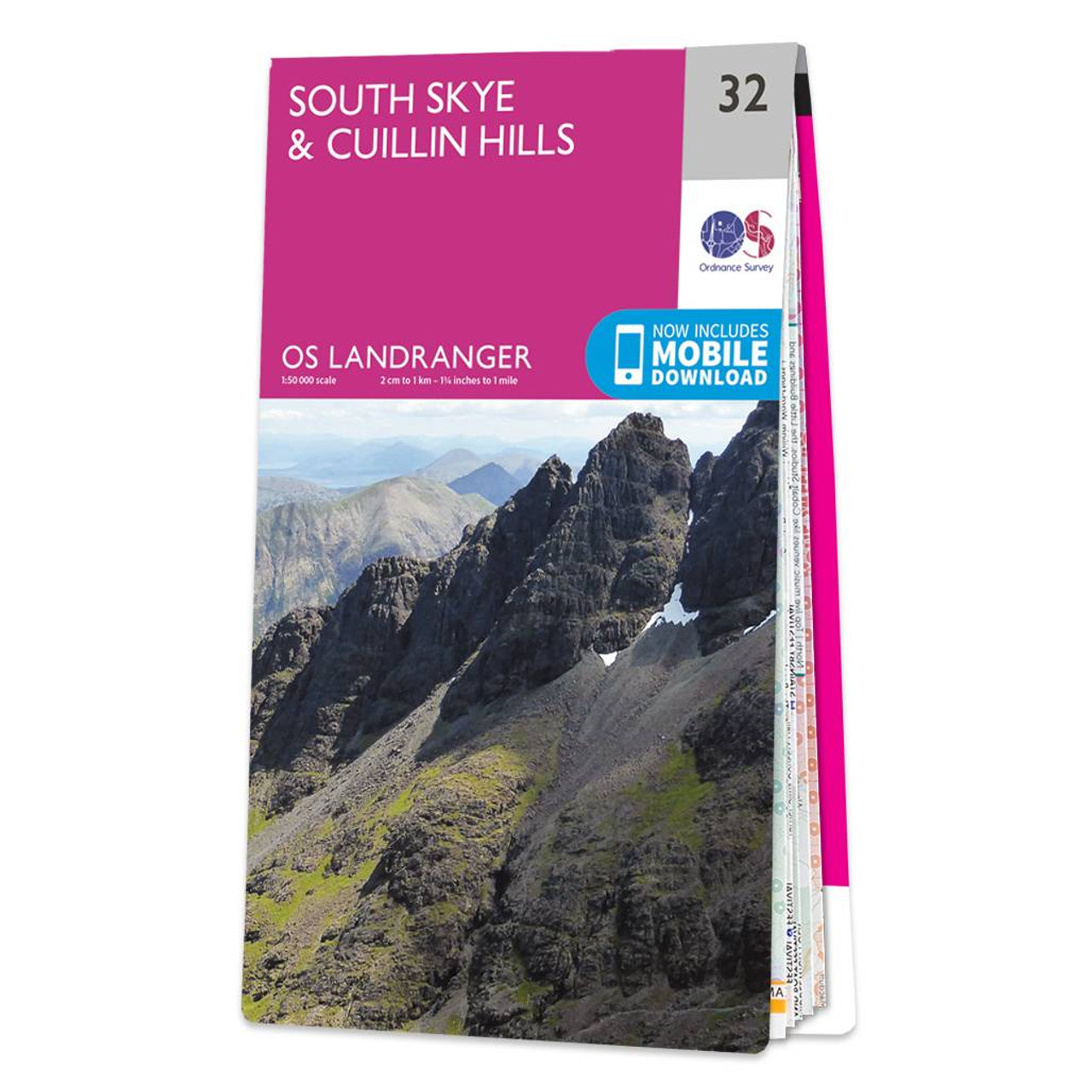
The Landranger map of South Skye & Cuillin Hills is a must-have for your next trip to the area. Landranger maps are perfect for extensive hikes, cycling, and driving holidays.Ideal for planning days out or holidays to the South Skye and Cuillin hills....

The Landranger map of North East Norfolk, including Cromer & Wroxham. Landranger maps are perfect for extensive hikes, cycling, and driving holidays. Ideal for planning days out or holidays to the North east of Norfolk, this map covers Cromer, Holt, North...
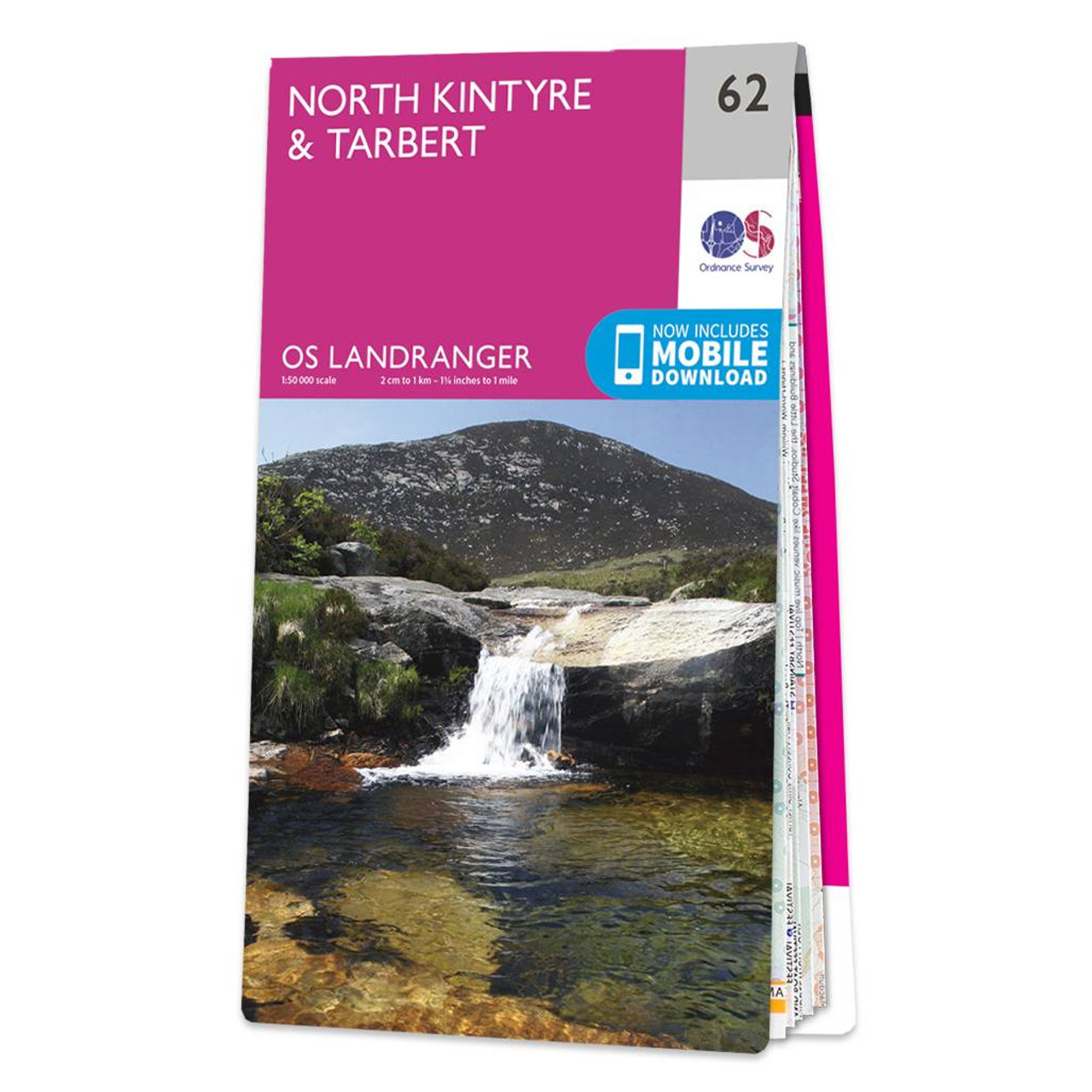
North Kintyre & Tarbert map - OS Landranger 62 Format: Folded map Physical Size: 1000 x 890 mm (134 x 227 mm folded) Standard Publication Date: 24/02/2016 Weatherproof Publication Date: 24/02/2016
|
|