|
|
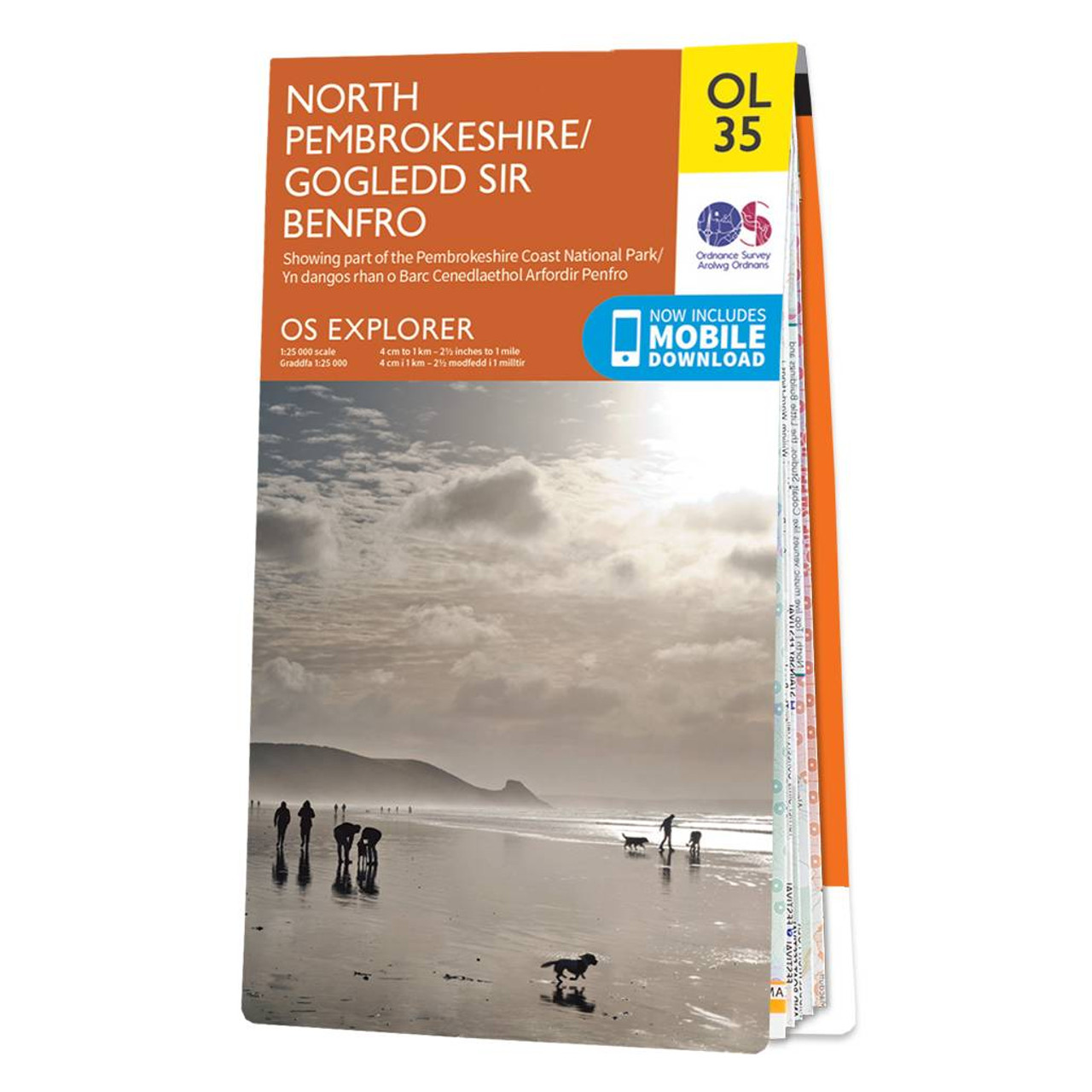
The OS Explorer map of North Pembrokeshire and the Pembrokeshire Coast National Park is a must-have when visiting the West coast of Wales.With a variety of beaches with stretches of sand to small rocky coves, there's an abundance of beauty to explore.Some must see places on Explorer OL35 are St Davids, Cardigan, Goodwick, and Fishguard, and the Pembrokeshire Coast Path.Our explorer range comes in both weatherproof and standard options, meaning you'll never get caught out in a storm. Receive a free download of this map, making for a convenient companion. Standard Publication Date: 16/09/2020 Weatherproof Publication Date: 16/09/2020
Price: £12.99 from Ordnance Survey
| Retailer | Price | |
|---|---|---|
| Ordnance Survey | £12.99 | Go to shop |
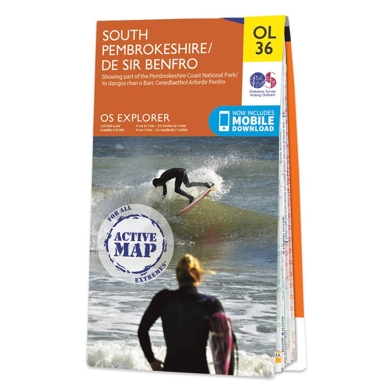
The OS Explorer map of South Pembrokeshire is a must-have when visiting the West Coast of Wales. South Pembrokeshire is a favourite among families — and people of all ages, due to its sandy beaches and popular seaside towns such as Tenby.There is an...
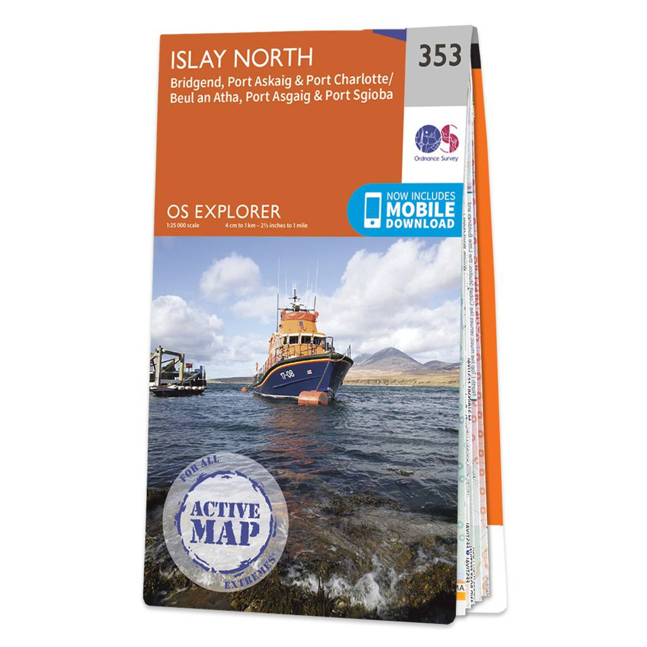
Map of Islay North - OS Explorer Map 353 (Port Askaig, Bridgend & Port Charlotte) Format: Folded map Physical Size: 890 x 1000 mm (134 x 227 mm folded) Standard Publication Date: 16/09/2015 Weatherproof Publication Date: 16/09/2015
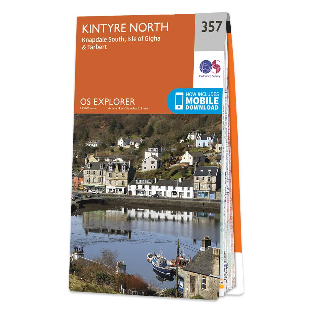
Map of Kintyre North - OS Explorer Map 357 (Knapdale South & Isle of Gigha Tarbert) Format: Folded map Physical Size: 1000 x 890 mm (134 x 227 mm folded) Standard Publication Date: 16/09/2015 Weatherproof Publication Date: 16/09/2015
|
|