|
|
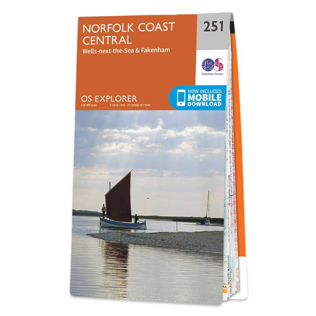
The OS Explorer map of Norfolk Coast Central, including Wells-next-the-Sea & Fakenham, is a must-have when visiting the area. An abundance of beautiful scenery and things to do, take a visit to Wells-next-the-Sea — a small port town on the north of Norfolk coast. Explore Blakeney Point, a National Nature Reserve where you can often see grey seals. Other places of interest on this map are: Fakenham, Holt, the River Glaven, and River Bure.Our OS Explorer maps are perfect for day-tripping, extensive hikes, and cycling. They come in both standard and Weatherproof Active, so you'll never get caught out in a storm. This map also comes with a free digital download, so you can access it across your devices — making for a more convenient companion. Standard Publication Date: 11/04/2024 Weatherproof Publication Date: 29/04/2024
Price: £12.99 from Ordnance Survey
| Retailer | Price | |
|---|---|---|
| Ordnance Survey | £12.99 | Go to shop |
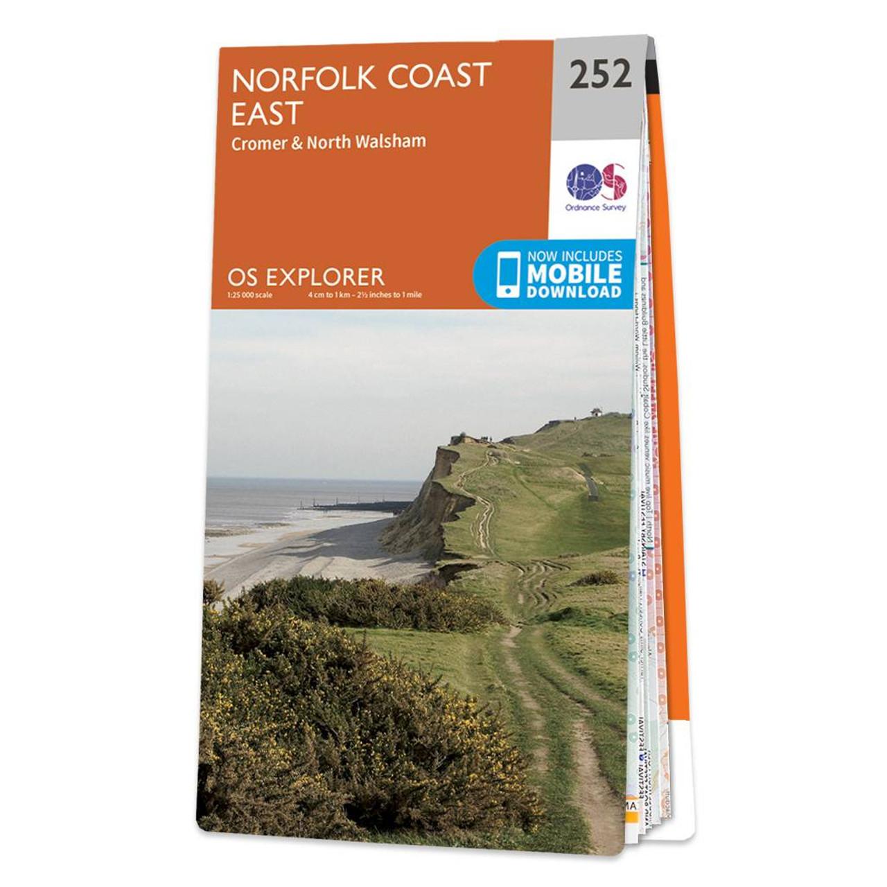
The OS Explorer map of Norfolk Coast East, including Cromer & North Walsham, is a must-have when visiting the area. Soak in the tranquillity of the River Bure, explore the Market Town of North Walsham, and see what the Norfolk Coast path national trail...

Map of Norfolk Coast West - OS Explorer Map 250 (King's Lynn & Hunstanton) Standard Publication Date: 16/09/2015 Weatherproof Publication Date: 16/09/2015

Map of Central Lewis & Stornoway - OS Explorer Map 459 (Eye Peninsula & Callanish) Format: Folded map Physical Size: 1000 x 890 mm (134 x 227 mm folded) Standard Publication Date: 30/09/2022 Weatherproof Publication Date: 22/09/2023
|
|