|
|
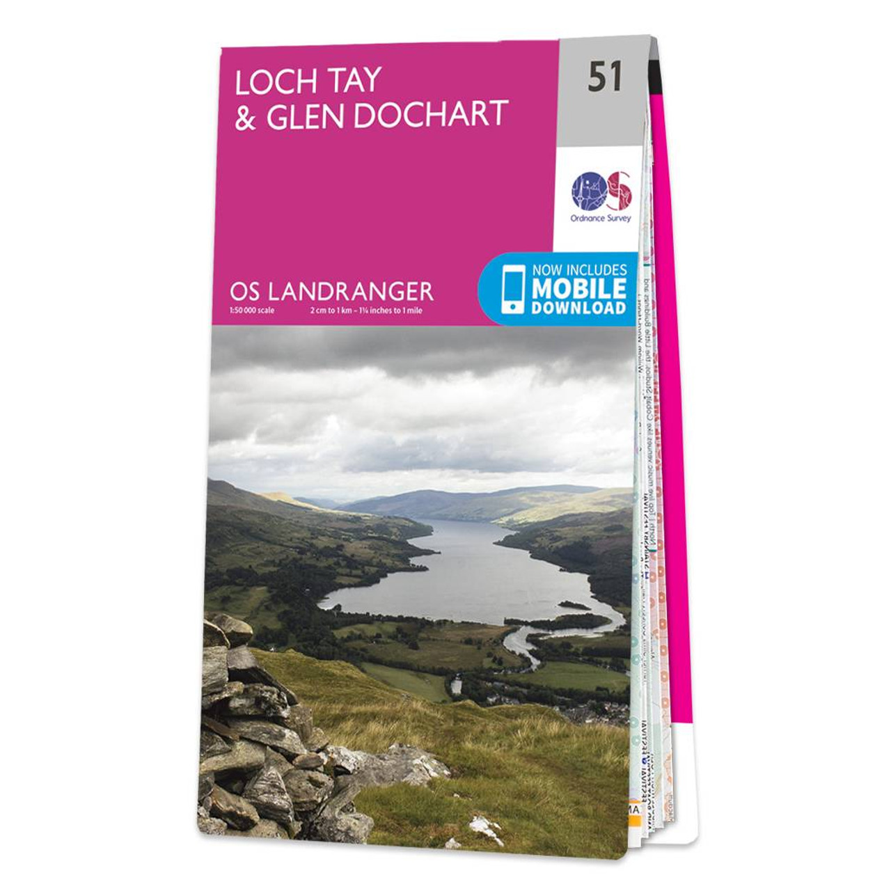
The Landranger map of Loch Tay and Glen Dochart is a must-have for your next trip to the area. Landranger maps are perfect for extensive hikes, cycling, and driving holidays. Ideal for planning days out or holidays to the area. Glen Dochart is a wide and tranquil glen where people fish, play golf, and enjoy the beautiful Scottish Scenery. It stretches from Loch Lyon in the West to Loch Tay in the East.Some highlights of this map are: Tay Forst Park, Loch Lednock Reservoir, Loch Voil, Glen Lyon, Ben Lawers, Carn Mairg, Acharn, and Killin.Our Landranger maps come in standard or Weatherproof Active, you'll also receive a free download for your devices — making for a convenient companion. Standard Publication Date: 16/07/2021 Weatherproof Publication Date: 29/09/2021
Price: £12.99 from Ordnance Survey
| Retailer | Price | |
|---|---|---|
| Ordnance Survey | £12.99 | Go to shop |
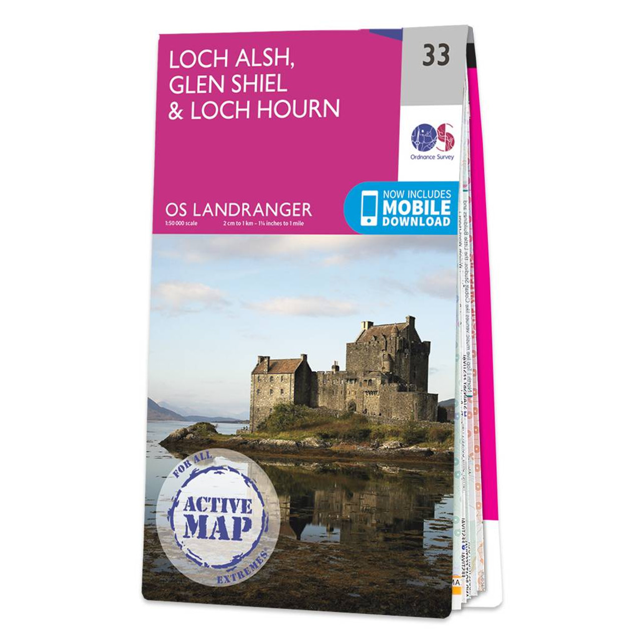
Loch Alsh, Glen Shiel & Loch Hourn map - OS Landranger 33 Format: Folded map Physical Size: 1000 x 890 mm (134 x 227 mm folded) Standard Publication Date: 24/02/2016 Weatherproof Publication Date: 24/02/2016
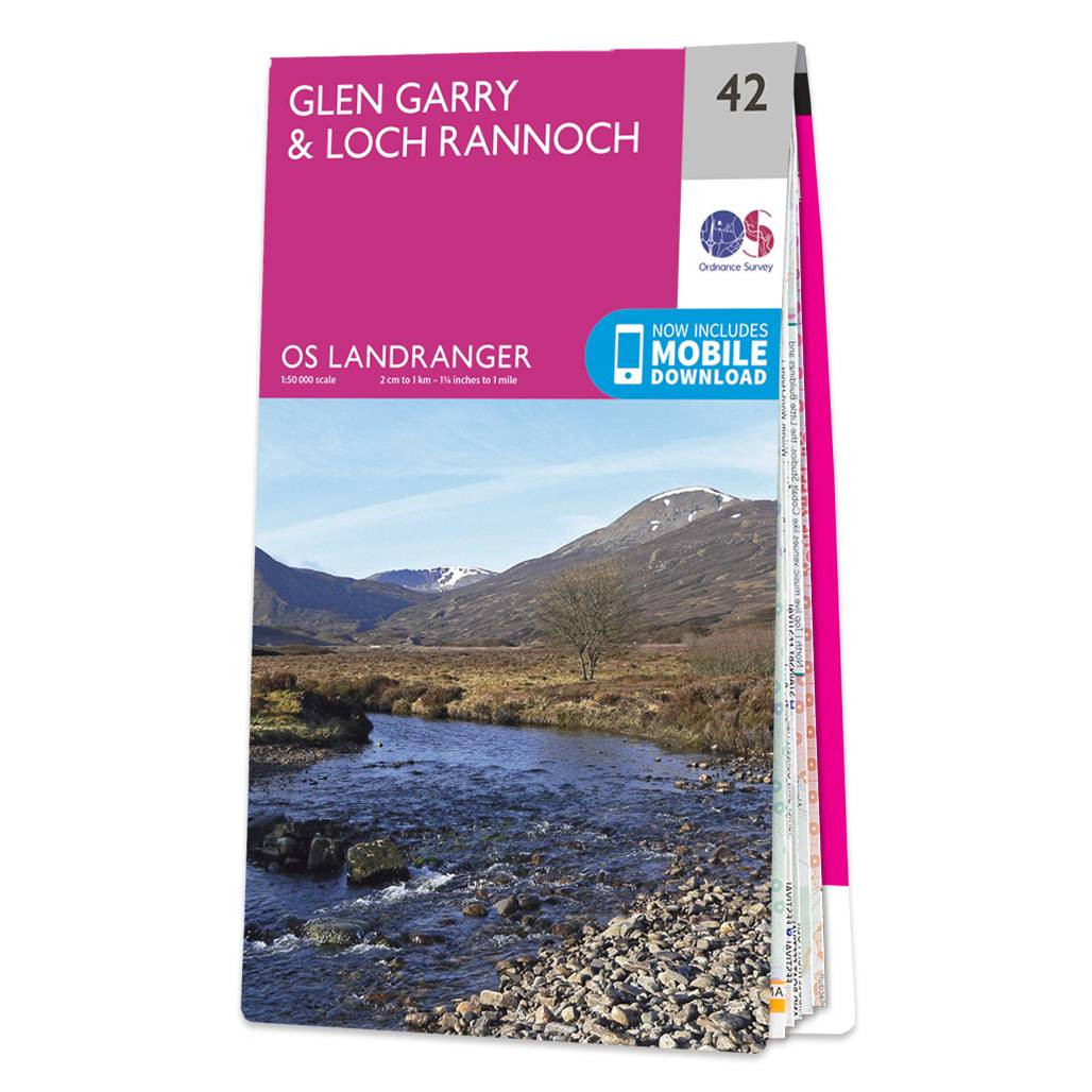
Purchase the Glen Garry and Loch Rannoch folded map: single, sided (boarded cover) from the OS Landranger Map range Standard Publication Date: 24/02/2016 Weatherproof Publication Date: 24/02/2016

Glen Orchy & Loch Etive map - OS Landranger 50 Standard Publication Date: 24/02/2016 Weatherproof Publication Date: 24/02/2016
|
|