|
|

The OS Explorer map of Glen Coe and Glen Etive, including Ballachulish and Kinlochleven, is ideal for planning your next trip to this awe-inspiring place. There is an abundance of opportunity for exploration and adventure with Explorer 384. Check out the 13 mile Loch Leven Heritage Trail — suitable for all levels, or there's the much more extensive West Highland Way — taking on average 5 - 8 days to complete. Our Explorer maps are perfect for day-tripping, extensive hikes, and cycling. They come in both standard and Weatherproof Active — so you'll never get caught out in a storm. This map also comes with a free digital download, so you can access it across your devices, making for a convenient companion. Format: Folded map Physical Size: 1270 x 952 mm (133 x 240 mm folded) Standard Publication Date: 16/09/2015 Weatherproof Publication Date: 16/09/2015
Price: £12.99 from Ordnance Survey
| Retailer | Price | |
|---|---|---|
| Ordnance Survey | £12.99 | Go to shop |
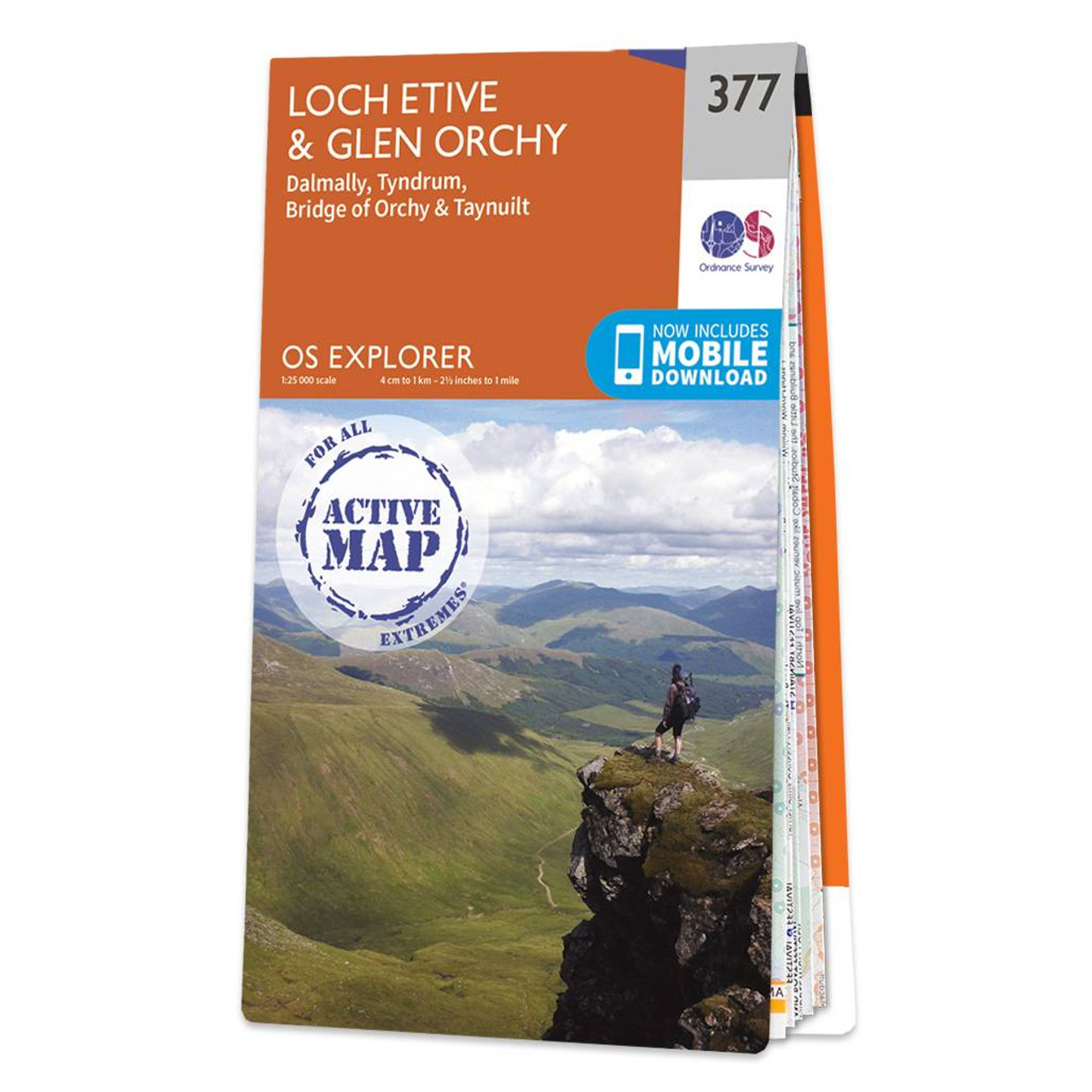
Map of Loch Etive & Glen Orchy - OS Explorer Map 377 (Dalmally, Tyndrum, Bridge of Orchy & Taynuilt) Standard Publication Date: 16/09/2015 Weatherproof Publication Date: 16/09/2015
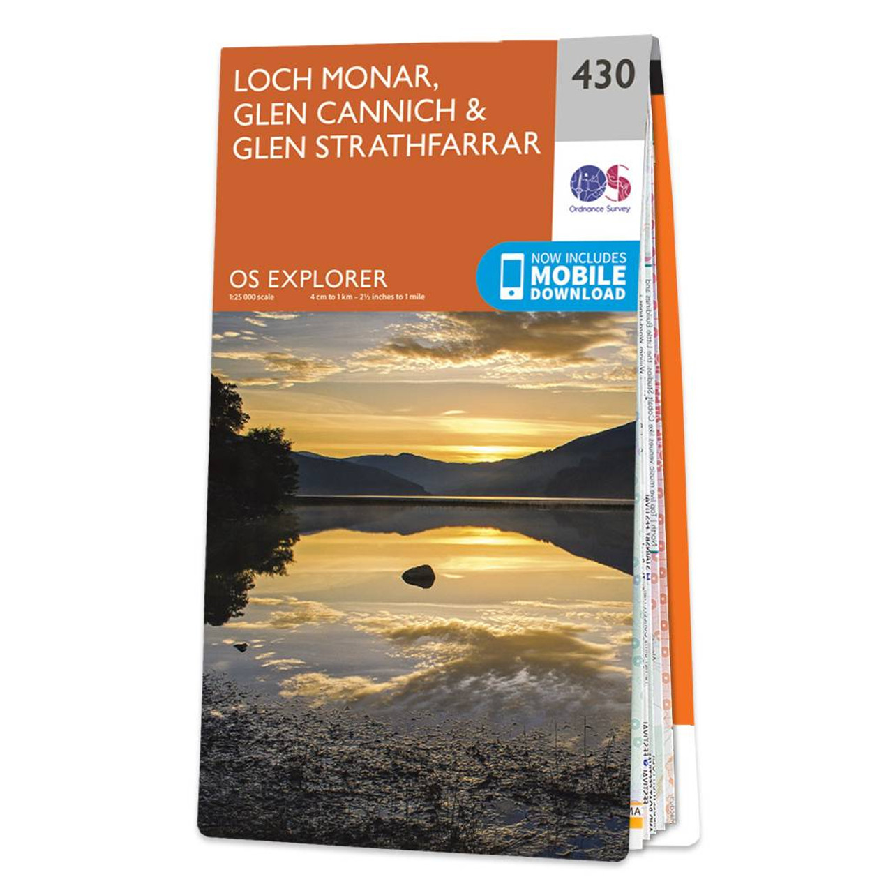
Map of Loch Monar, Glen Cannich & Glen Strathfarrar - OS Explorer Map 430 Format: Folded map Physical Size: 952 x 1270 mm (133 x 240 mm folded) Standard Publication Date: 16/09/2015 Weatherproof Publication Date: 16/09/2015
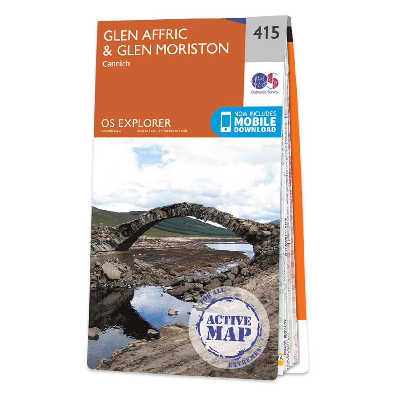
Map of Glen Affric & Glen Moriston - OS Explorer Map 415 (Cannich) Format: Folded map Physical Size: 952 x 1270 mm (133 x 240 mm folded) Standard Publication Date: 16/09/2015 Weatherproof Publication Date: 16/09/2015
|
|