|
|
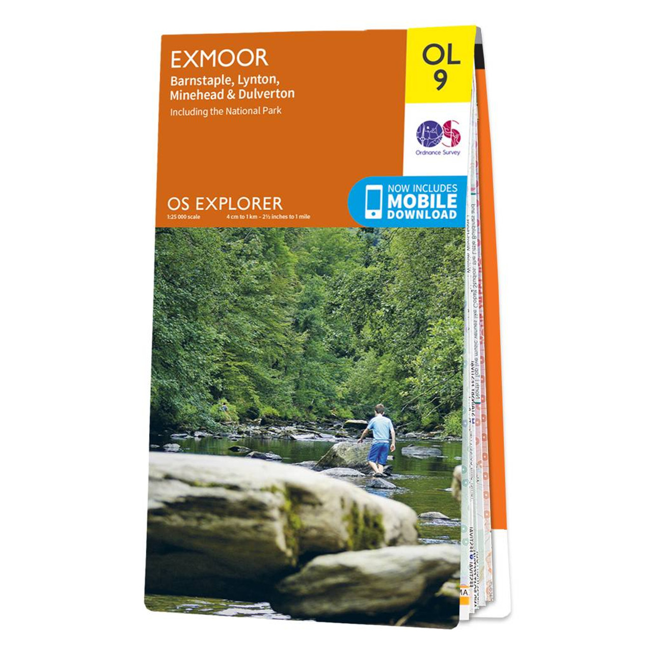
The OS Explorer map of Exmoor, including Barnstaple, Lynton, Minehead, and Dulverton is a must-have when visiting the area.Discover pebble beaches, rocky cliffs, and green valleys. Stop in one of the picturesque postcard villages or small towns for a spot of tea and a cheeky ice cream.Take a hike through the beautiful moors, have fun spotting ponies, and in the evening enjoy the skies as Exmoor is a Dark Sky Reserve — see constellations with the naked eye.Our OS Explorer maps are perfect for day-tripping, extensive hikes, and cycling. They come in both standard and Weatherproof Active, so you'll never get caught out in a storm. This map also comes with a free digital download, so you can access it across your devices — making for a more convenient companion. Standard Publication Date: 21/01/2017 Weatherproof Publication Date: 08/03/2017
Price: £12.99 from Ordnance Survey
| Retailer | Price | |
|---|---|---|
| Ordnance Survey | £12.99 | Go to shop |
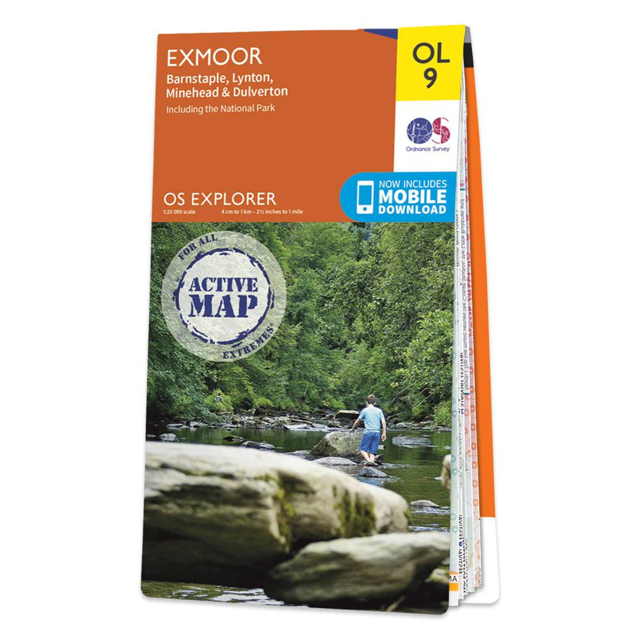
The OS Explorer map of Exmoor, including Barnstaple, Lynton, Minehead, and Dulverton is a must-have when visiting the area.Discover pebble beaches, rocky cliffs, and green valleys. Stop in one of the picturesque postcard villages or small towns for a...

Map of Helmsdale & Strath of Kildonan - OS Explorer Map 444 Format: Folded map Physical Size: 1000 x 890 mm (134 x 227 mm folded) Standard Publication Date: 16/09/2015 Weatherproof Publication Date: 16/09/2015

Map of Coll & Tiree - OS Explorer Map 372 Format: Folded map Physical Size: 1000 x 890 mm (134 x 227 mm folded) Standard Publication Date: 16/09/2015 Weatherproof Publication Date: 16/09/2015
|
|