|
|
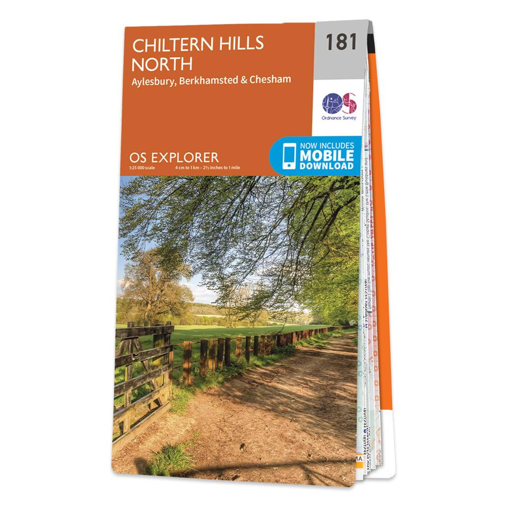
The OS Explorer map of Chiltern Hills North, including Aylesbury, Berkhamsted, and Chesham is a must-have when visiting the Chiltern hills, or 'The Chilterns' as they are referred to locally. Given the title of AONB in 1965, the Chiltern Hills are a quintessential piece of British countryside. So much to see and do crammed into one map, some notable highlights include: Wendover, Chesham, Princes Risborough, Tring, River Thame, Aylesbury Ring, the Ridgeway and the Chiltern way. Our Explorer maps are perfect for day-tripping, extensive hikes, and cycling. They come in both standard and Weatherproof Active — so you'll never get caught out in a storm. This map also comes with a free digital download, so you can access it across your devices, making for a convenient companion. Format: Folded map Physical Size: 1270 x 952 mm (133 x 240 mm folded) Standard Publication Date: 22/12/2020 Weatherproof Publication Date: 25/02/2020
Price: £12.99 from Ordnance Survey
| Retailer | Price | |
|---|---|---|
| Ordnance Survey | £12.99 | Go to shop |
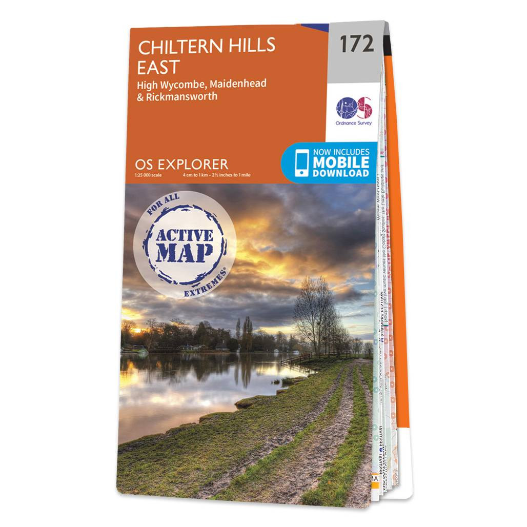
The OS Explorer map of Chiltern Hills East, including High Wycombe, Maidenhead, and Rickmansworth is a must-have when visiting the Chiltern hills, or 'The Chilterns' as they are referred to locally.Given the title of AONB in 1965, the Chiltern Hills are...
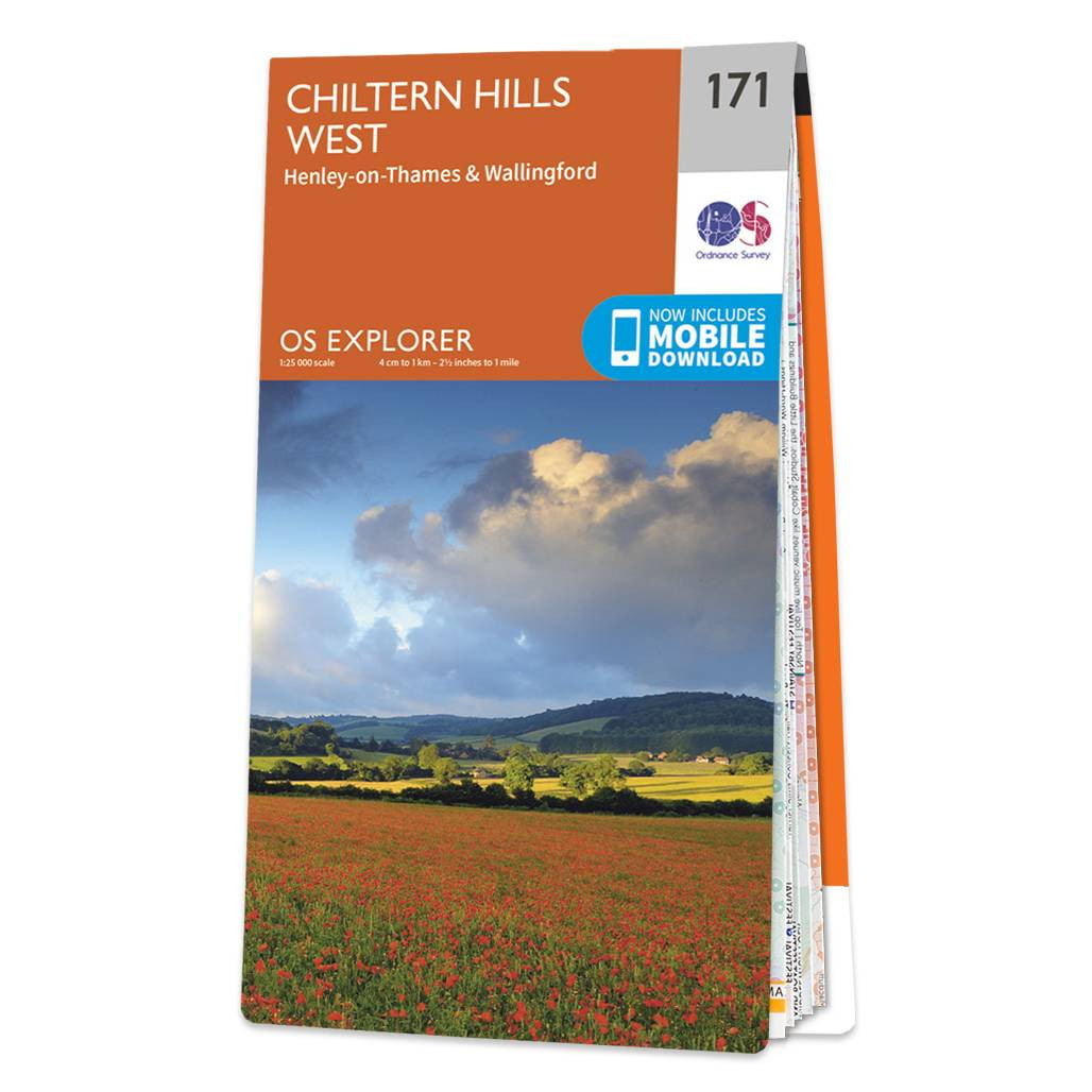
The OS Explorer map of Chiltern Hills West, including Henley-on-Thames, and Wallingford is a must-have when visiting the Chiltern Hills, or 'The Chilterns' as they are referred to locally.Given the title of AONB in 1965, the Chiltern Hills are a quintessential...
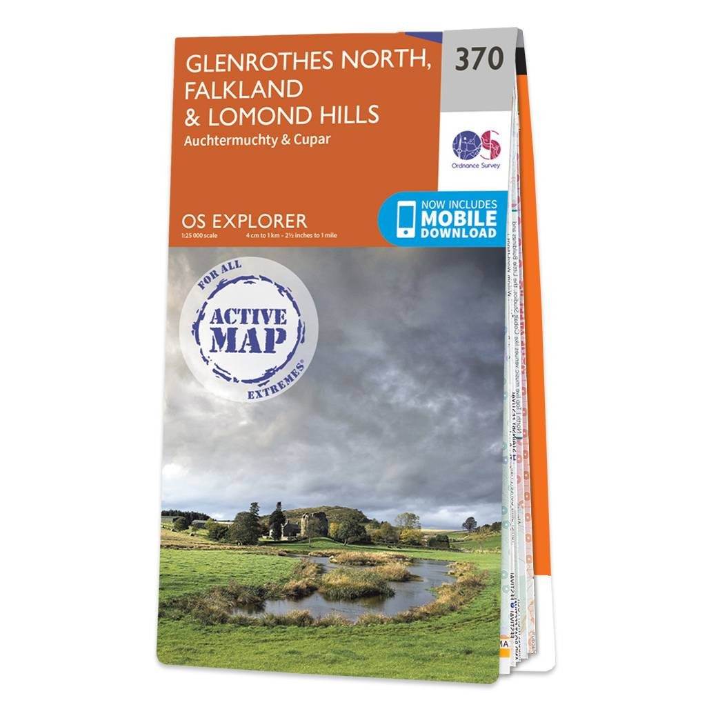
Map of Glenrothes North, Falkland & Lomond Hills - OS Explorer Map 370 (Auchtermuchty & Cupar) Format: Folded map Physical Size: 952 x 1270 mm (133 x 240 mm folded) Standard Publication Date: 11/05/2023 Weatherproof Publication Date: 11/05/2023
|
|