|
|
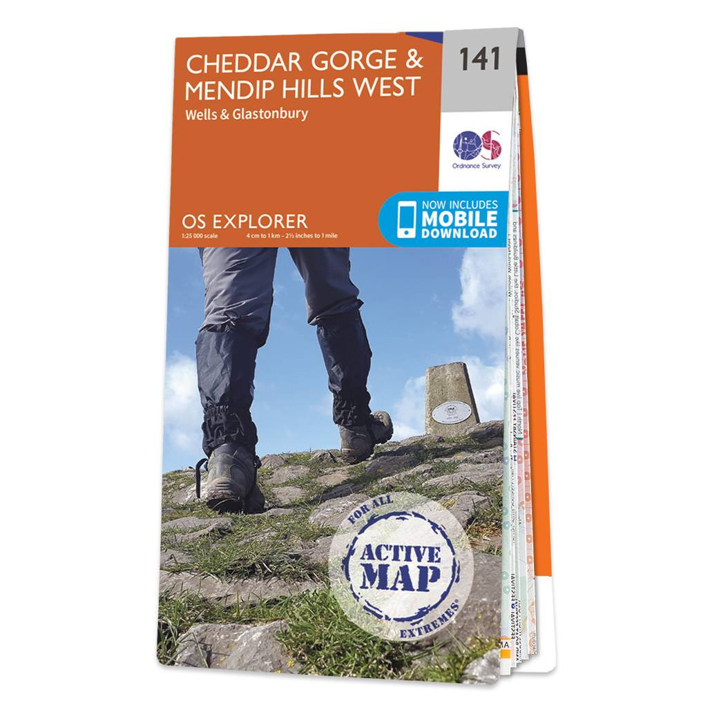
The OS Explorer map of Cheddar Gorge & Mendip Hills West, including Wells and Glastonbury. The Cheddar Gorge is a limestone gorge in the Mendip Hills, near the village of Cheddar — the home of Cheddar Cheese. Other features of this map include Wookey Hole, Glastonbury Tor, Blagdon and Chew Valley Lakes, and the rivers Axe, Brue, and Cary. Our OS Explorer maps are perfect for day-tripping, extensive hikes, and cycling. They come in both standard and Weatherproof Active, so you'll never get caught out in a storm. This map also comes with a free digital download, so you can access it across your devices — making for a more convenient companion. Format: Folded map Physical Size: 952 x 1270 mm (133 x 240 mm folded) Standard Publication Date: 16/09/2015 Weatherproof Publication Date: 16/09/2015
Price: £16.99 from Ordnance Survey
| Retailer | Price | |
|---|---|---|
| Ordnance Survey | £16.99 | Go to shop |
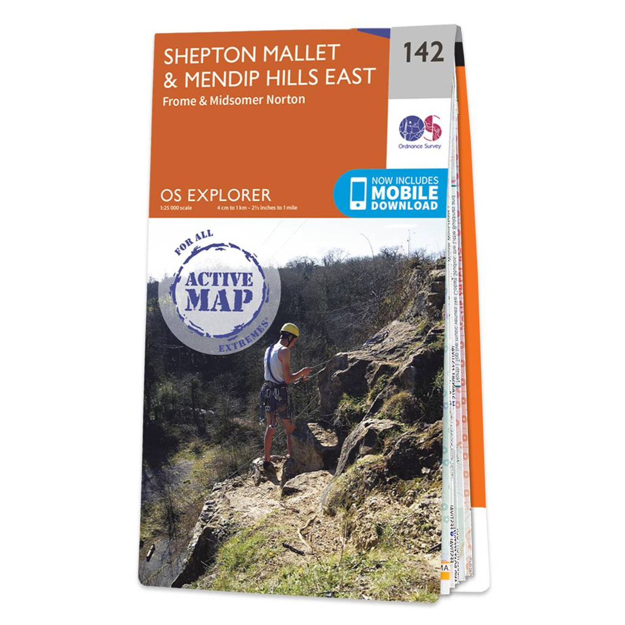
Map of Shepton Mallet & Mendip Hills East - OS Explorer Map 142. It includes Frome, Midsomer Norton and Amesbury, and is ideal for walking, running and other outdoor activities. Standard Publication Date: 16/09/2015 Weatherproof Publication Date: 16/09/2015
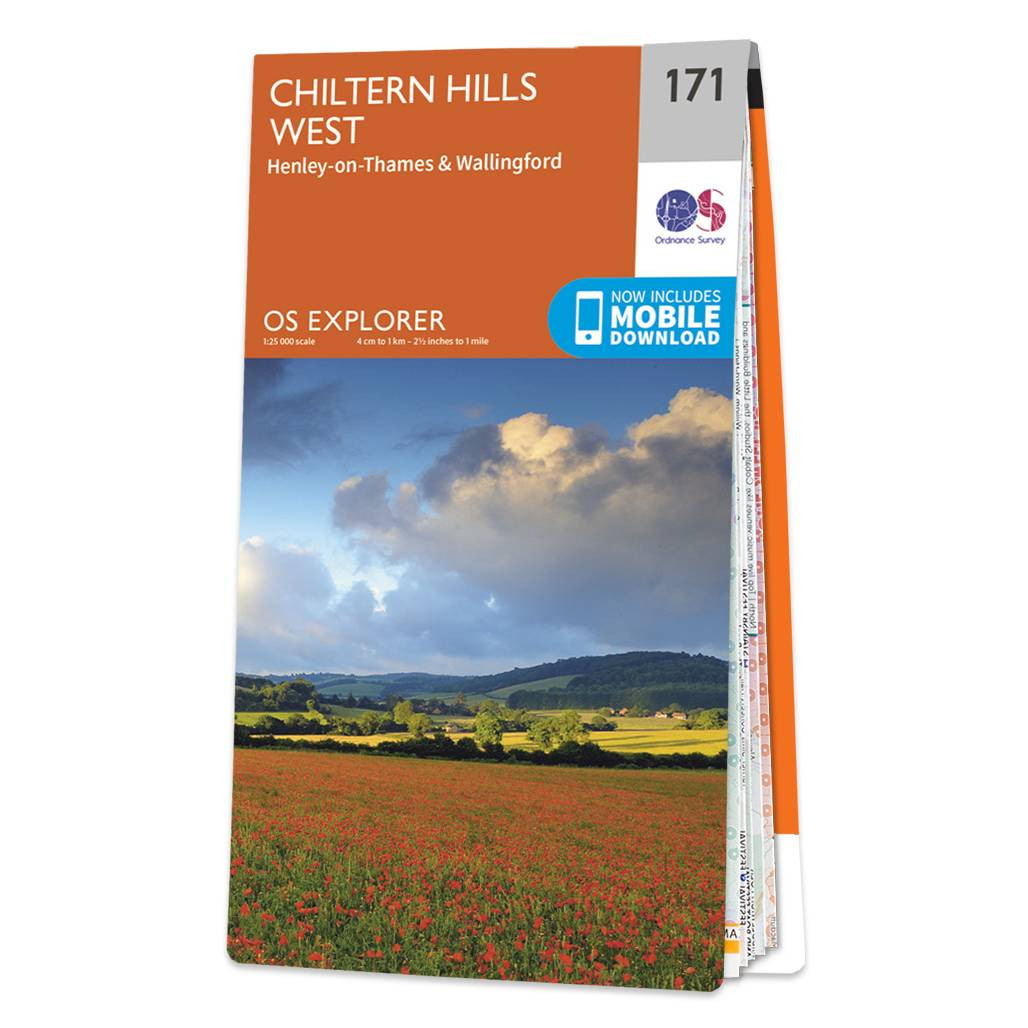
The OS Explorer map of Chiltern Hills West, including Henley-on-Thames, and Wallingford is a must-have when visiting the Chiltern Hills, or 'The Chilterns' as they are referred to locally.Given the title of AONB in 1965, the Chiltern Hills are a quintessential...
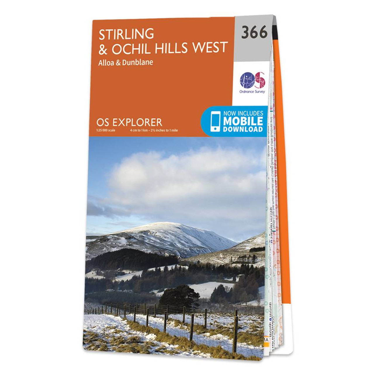
Map of Stirling & Ochil Hills West - OS Explorer Map 366 (Alloa & Dunblane) Standard Publication Date: 16/09/2015 Weatherproof Publication Date: 16/09/2015
|
|