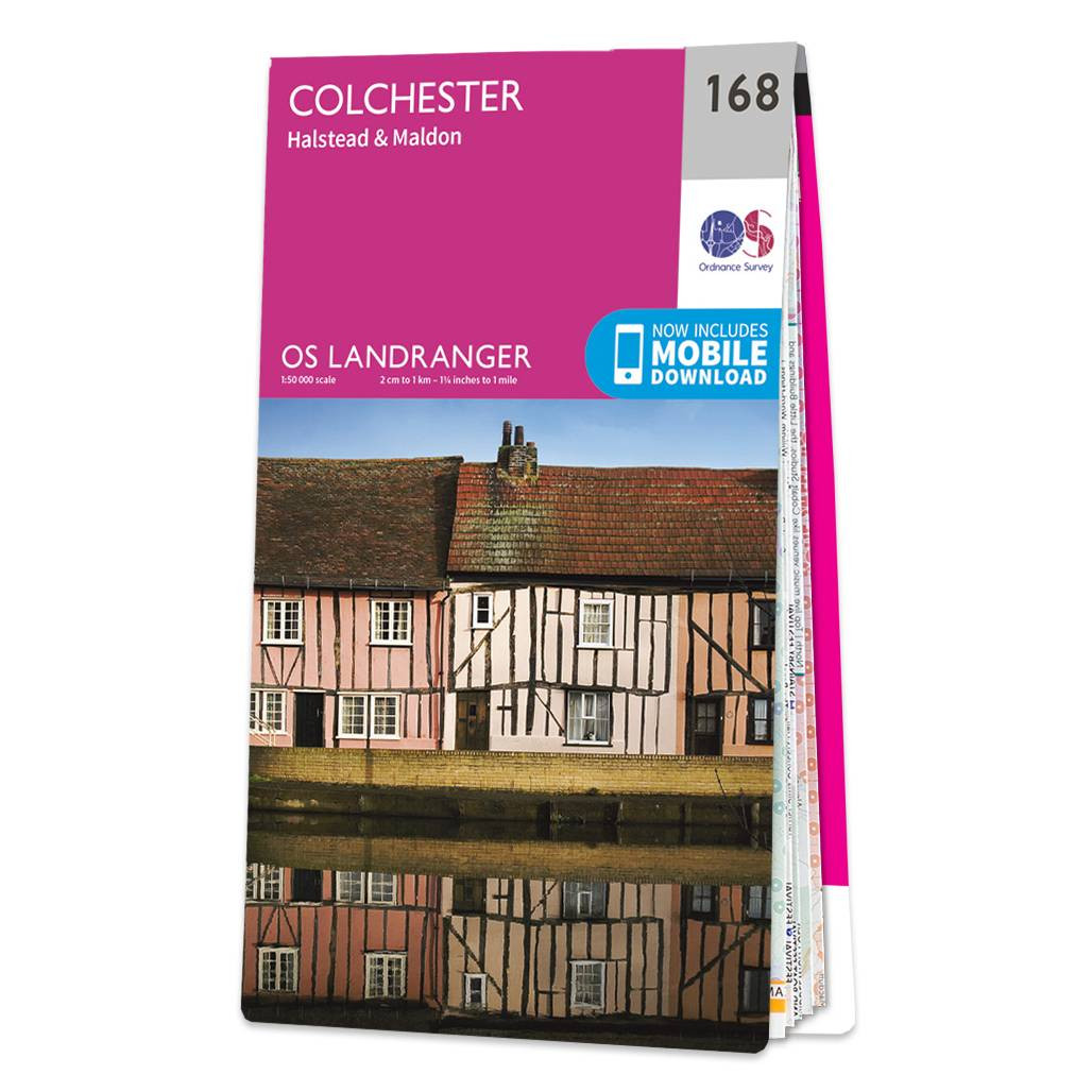
Colchester (inc. Halstead & Maldon) map - OS Landranger 168 Format: Folded map Physical Size: 1000 x 890 mm (134 x 227 mm folded) Standard Publication Date: 24/02/2016 Weatherproof Publication Date: 24/02/2016

An authentic reproduction Ordnance Survey map of Maryport from the Revised New Edition, 1896 to 1904. Printed flat, and delivered rolled in a tube. About our range of historical maps Our stunning Ordnance Survey Historical Maps make ideal gifts. Perfect...

An authentic reproduction Ordnance Survey map of Plymouth from the Revised New Edition, 1896 to 1904. Printed flat, and delivered rolled in a tube. About our range of historical maps Our stunning Ordnance Survey Historical Maps make ideal gifts. Perfect...

An authentic reproduction Ordnance Survey map of Kielder Castle from the Revised New Edition, 1896 to 1904. Printed flat, and delivered rolled in a tube. About our range of historical maps Our stunning Ordnance Survey Historical Maps make ideal gifts....
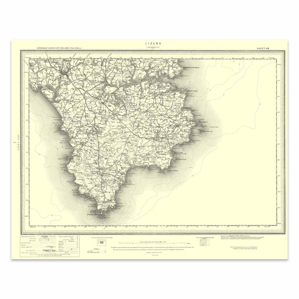
An authentic reproduction Ordnance Survey map of Lizard from the Revised New Edition, 1896 to 1904. Printed flat, and delivered rolled in a tube. About our range of historical maps Our stunning Ordnance Survey Historical Maps make ideal gifts. Perfect...
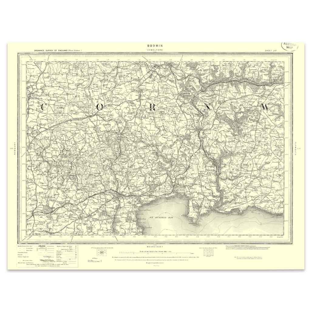
An authentic reproduction Ordnance Survey map of Bodmin from the Revised New Edition, 1896 to 1904. Printed flat, and delivered rolled in a tube. About our range of historical maps Our stunning Ordnance Survey Historical Maps make ideal gifts. Perfect...
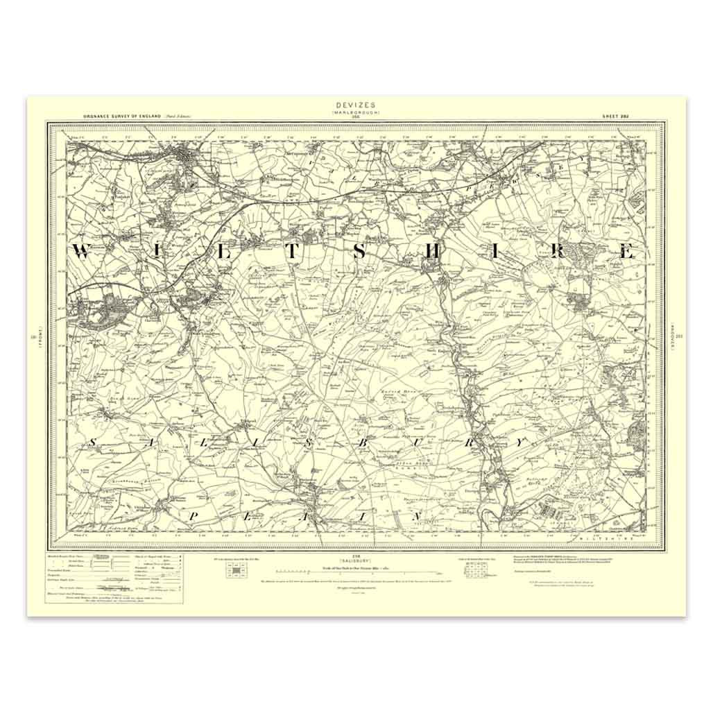
An authentic reproduction Ordnance Survey map of Devizes from the Revised New Edition, 1896 to 1904. Printed flat, and delivered rolled in a tube. About our range of historical maps Our stunning Ordnance Survey Historical Maps make ideal gifts. Perfect...

An authentic reproduction Ordnance Survey map of Glastonbury from the Revised New Edition, 1896 to 1904. Printed flat, and delivered rolled in a tube. About our range of historical maps Our stunning Ordnance Survey Historical Maps make ideal gifts. Perfect...

Cambridge & Newmarket (inc. Saffron Walden) map - OS Landranger 154 Format: Folded map Physical Size: 1000 x 890 mm (134 x 227 mm folded) Standard Publication Date: 17/03/2022 Weatherproof Publication Date: 02/03/2022
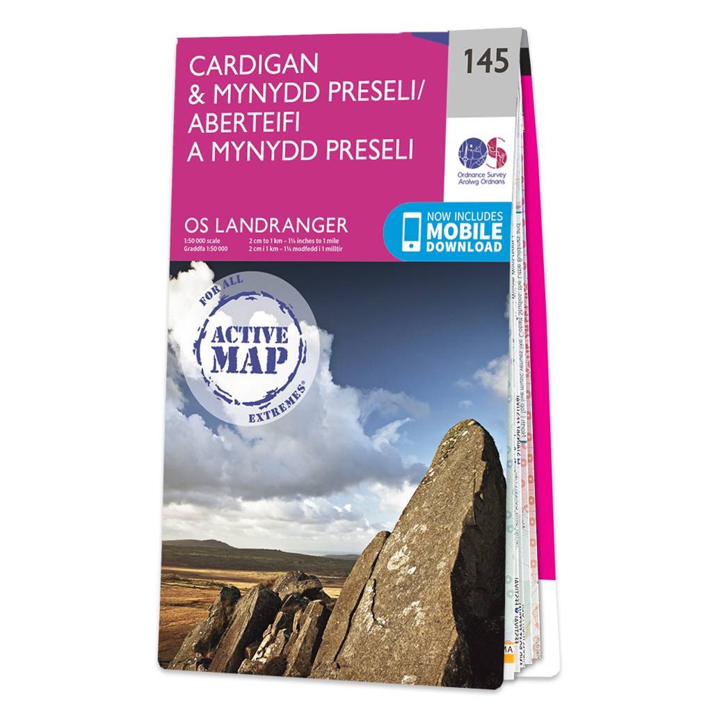
Cardigan & Mynydd Preseli map - OS Landranger 145 Standard Publication Date: 24/02/2016 Weatherproof Publication Date: 24/02/2016
|
|