
Discover ten leisurely walks in Bakewell & Dovedale with the OS Short Walks Made Easy guidebook. No previous country walking experience is required. All routes are between 2½ and 4 miles in length, set amid stunning scenery and can be completed all year...

Discover ten leisurely walks in the North York Moors with the OS Short Walks Made Easy guidebook. No previous country walking experience is required. All routes are between 2½ and 4½ miles in length, set amid stunning scenery and can be completed all...

Discover ten leisurely walks in Isle of Wight with the OS Short Walks Made Easy guidebook. No previous country walking experience is required. All routes are between 2½ and 5 miles in length, set amid stunning scenery and can be completed all year round...

Discover ten leisurely walks in Wye Valley (Dyffryn Gwy) and Forest of Dean with the OS Short Walks Made Easy guidebook. No previous country walking experience is required. All routes are between 1 to 4½ miles in length, set amid stunning scenery and...
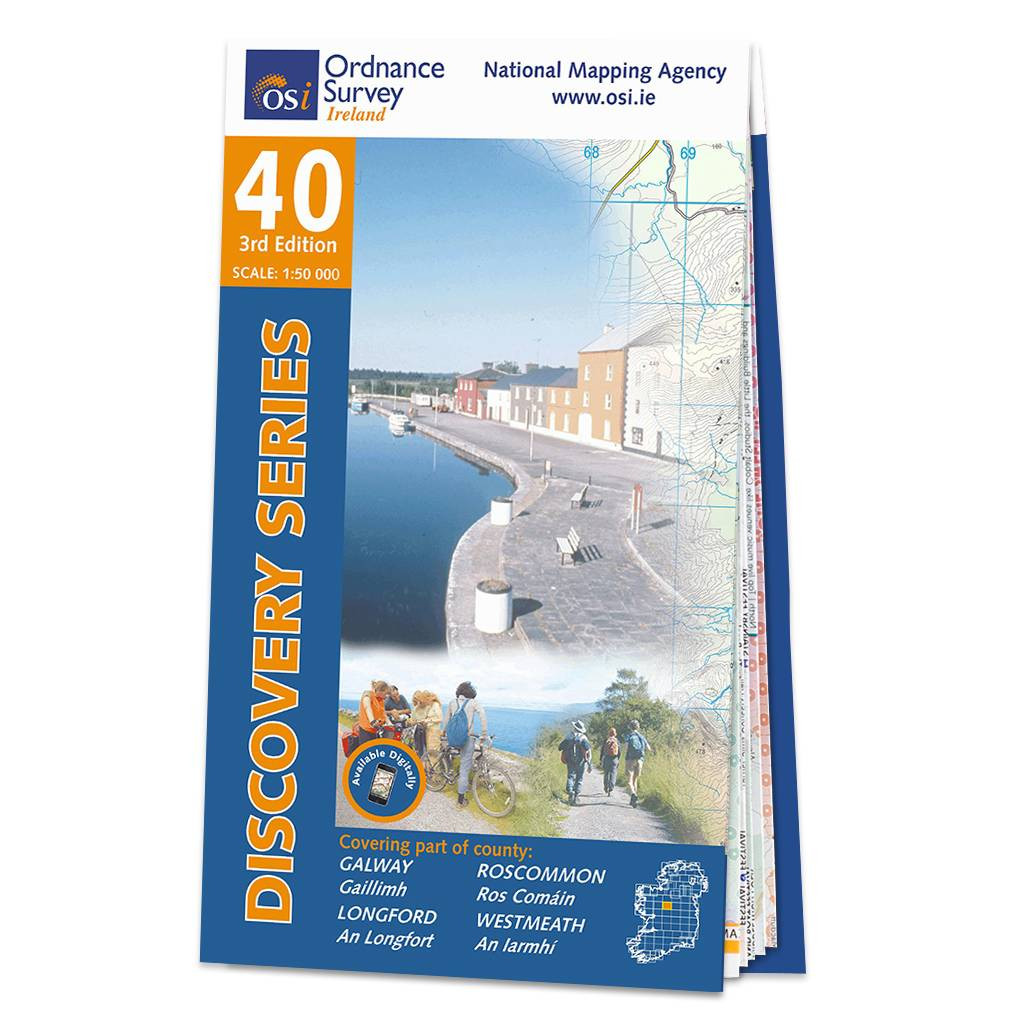
OSI Discovery Sheet No. 40 covers part of County Galway, Roscommon, Longford and Westmeath at a 1:50 000 scale and is designed for all sorts of leisure activities including walking, cycling and tourism. Features shown on the Discovery series include walking...

OSI Discovery Sheet No. 23 covers part of County Mayo at a 1:50 000 scale and is designed for all sorts of leisure activities including walking, cycling and tourism. Features shown on the Discovery series include walking trails, cycle routes, forest parks...
|
|