
Purchase the Derby and Burton upon Trent folded map: single sided from the OS Landranger Map range Format: Folded map Physical Size: 1000 x 890 mm (134 x 227 mm folded) Standard Publication Date: 25/09/2018 Weatherproof Publication Date: 23/10/2018

Leeds & Bradford (inc. Harrogate & Ilkley) map - OS Landranger 104 Standard Publication Date: 24/02/2016 Weatherproof Publication Date: 24/02/2016

175 miles of wonderful walking . . . Uncover 28 beautiful circular walks around the Peak District with the OS Pathfinder Guidebooks, graded by length and ranging from 3 ½ to 11 ¼ miles. Make the most out of your next trip to the Peak District! The walks...

Firth of Clyde (inc. Greenock & Rothesay) map - OS Landranger 63 Standard Publication Date: 24/02/2016 Weatherproof Publication Date: 24/02/2016
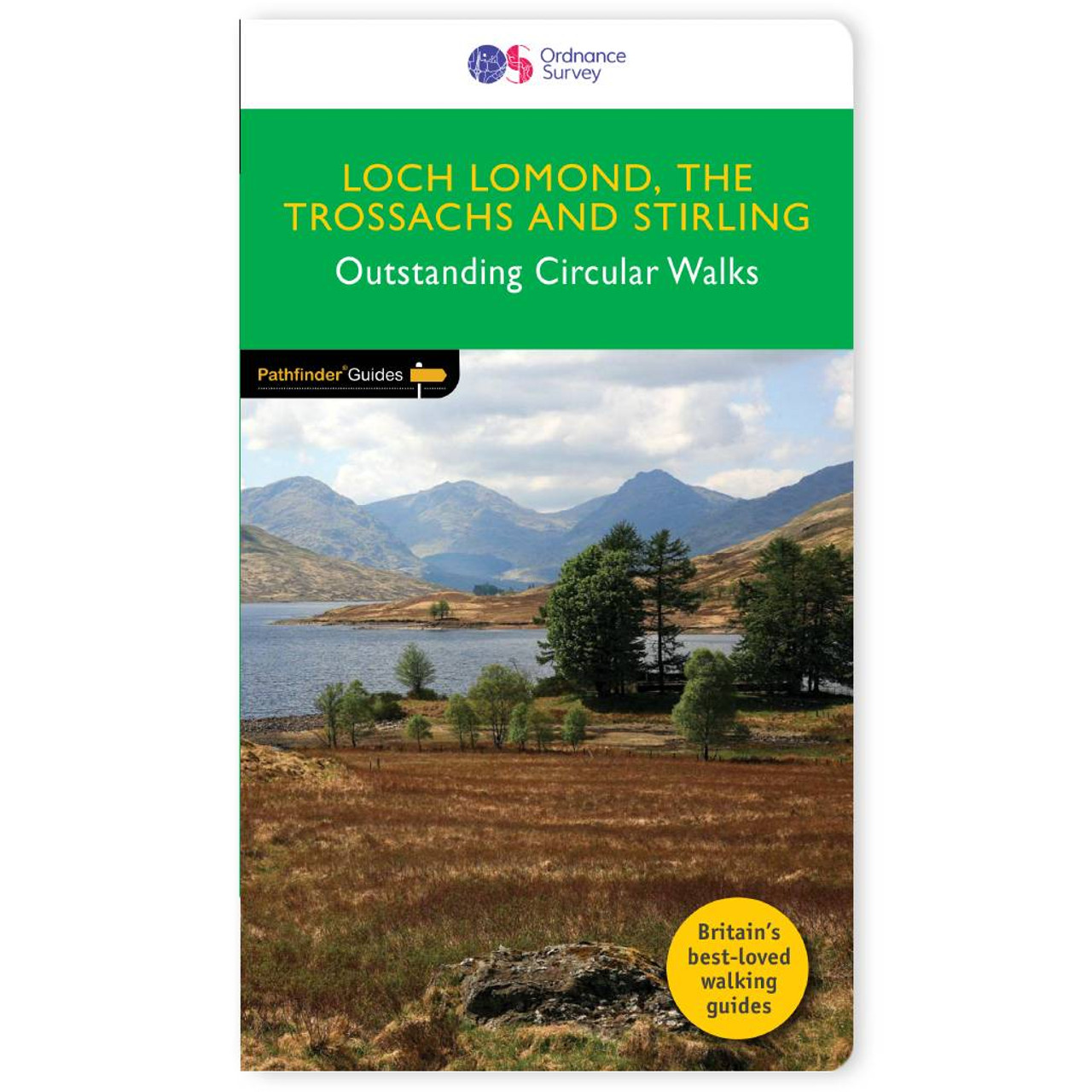
160 mile of breath-taking walking amid the stunning scenery of Loch Lomond National Park & Stirlingshire . . . Trek 28 stunning circular walks exploring Loch Lomond, The Trossach, and Stirling, with the OS Pathfinder Guidebooks - graded by length and...

Immerse yourself in 28 beautiful walks across Exmoor & the Quantocks with the OS Pathfinder Guidebooks, graded by length and ranging from 3 to 11 miles. The routes range from extended strolls to longer hikes, meaning something for all levels! Exmoor National...

Purchase the Stafford and Telford folded map: single, sided (boarded cover) from the OS Landranger Map range Format: Folded map Physical Size: 1000 x 890 mm (134 x 227 mm folded) Standard Publication Date: 06/04/2017 Weatherproof Publication Date: 05/07/2017
Scunthorpe & Gainsborough map - OS Landranger 112 Standard Publication Date: 24/02/2016 Weatherproof Publication Date: 24/02/2016
Purchase the Girvan folded map: single sided from the OS Landranger Map range Format: Folded map Physical Size: 1000 x 890 mm (134 x 227 mm folded) Standard Publication Date: 24/02/2016 Weatherproof Publication Date: 24/02/2016
Purchase the Ancholme Valley folded map: double-sided (boarded cover) from the OS Explorer Map range Standard Publication Date: 16/09/2015 Weatherproof Publication Date: 16/09/2015
|
|