
The OS Explorer map of The English Lakes, South-Eastern Area, including Windermere, Kendal, & Silverdale.Displaying the South-Eastern part of the Lake District National Park, OL7 is a must-have when visiting the area.Soak up stunning views at Lake Windermere...
Map of Huntingdon & St Ives - OS Explorer Map 225 (Grafham Water) Format: Folded map Physical Size: 1000 x 890 mm (134 x 227 mm folded) Standard Publication Date: 14/05/2021 Weatherproof Publication Date: 05/07/2021
Map of Lanark & Tinto Hills - OS Explorer Map 335 (Lesmahagow & Douglas) Standard Publication Date: 16/09/2015 Weatherproof Publication Date: 16/09/2015
Purchase the Atholl folded map: double-sided (boarded cover) from the OS Explorer Map range Standard Publication Date: 10/06/2015 Weatherproof Publication Date: 10/06/2015

The Landranger map of North East Norfolk, including Cromer & Wroxham. Landranger maps are perfect for extensive hikes, cycling, and driving holidays. Ideal for planning days out or holidays to the North east of Norfolk, this map covers Cromer, Holt, North...
OS Landranger map 81: Alnwick and Morpeth, including Rothbury and Amble. This is a single sided map with card cover in 1:50 000 scale, ideal for cycling, tourism and general outdoor activities. Standard Publication Date: 29/05/202024 Weatherproof Publication...
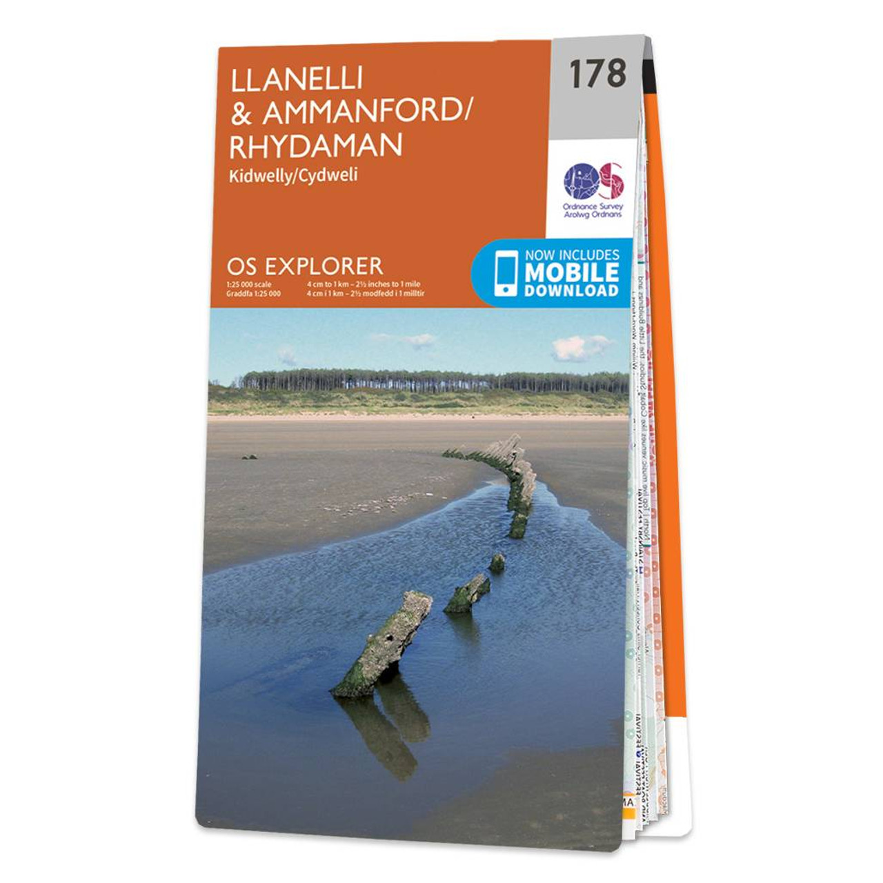
Map of Llanelli & Ammanford - OS Explorer Map 178 (Kidwelly) Standard Publication Date: 16/09/2015 Weatherproof Publication Date: 16/09/2015
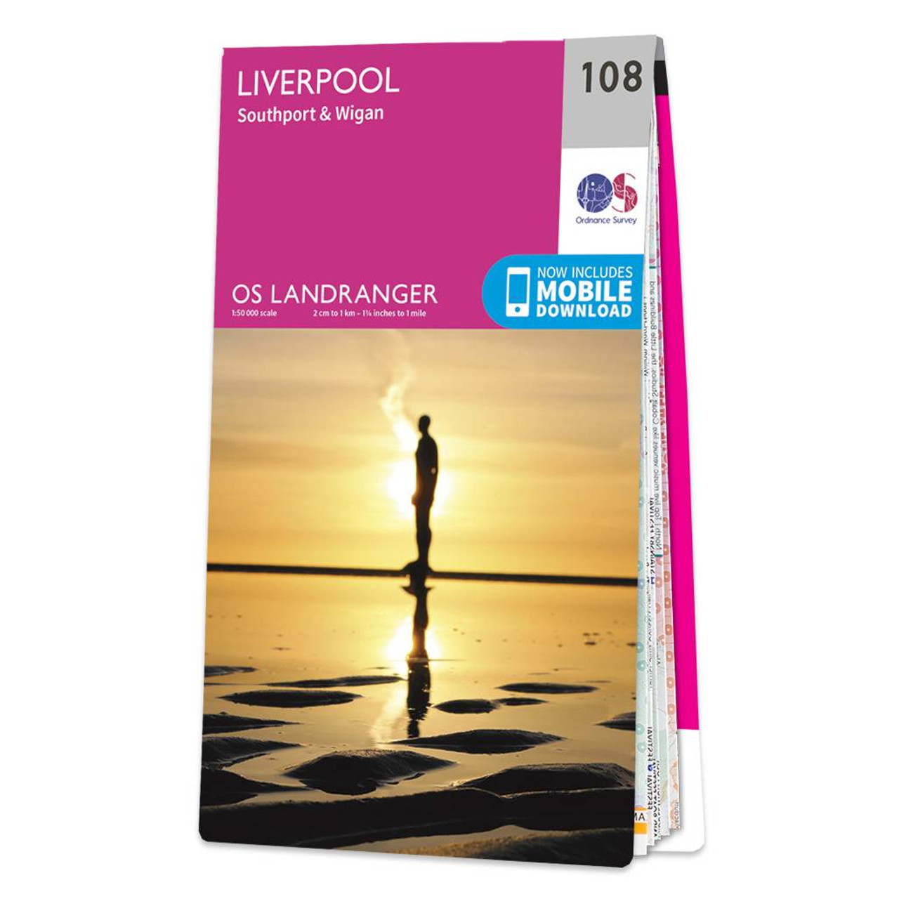
Liverpool (inc. Southport & Wigan) map - OS Landranger 108 Standard Publication Date: 14/08/2018 Weatherproof Publication Date: 11/10/2018
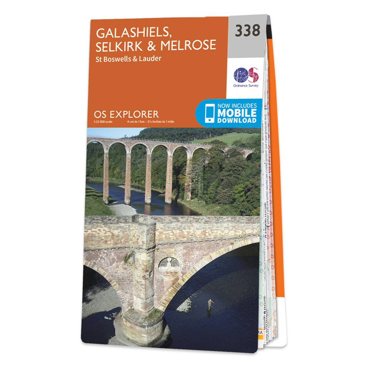
Map of Galashiels, Selkirk & Melrose - OS Explorer Map 338 (St Boswell's & Lauder) Format: Folded map Physical Size: 952 x 1270 mm (133 x 240 mm folded) Standard Publication Date: 06/04/2017 Weatherproof Publication Date: 26/07/2017

Map of Greenock, Largs & Millport - OS Explorer Map 341 (Clyde Muirshiel Regional Park) Format: Folded map Physical Size: 1000 x 890 mm (134 x 227 mm folded) Standard Publication Date: 16/09/2015 Weatherproof Publication Date: 16/09/2015
|
|