
OSI Discovery Sheet No. 03 covers part of Counties Derry and Donegal at a 1:50 000 scale, and is designed for all sorts of leisure activities including walking, cycling and tourism. Features shown on the Discovery series include walking trails, cycle...
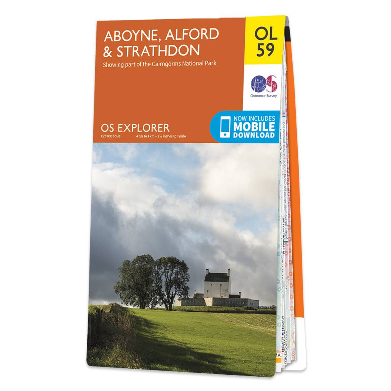
Purchase the Aboyne, Alford & Strathdon folded map OL 59 from the OS Explorer Map range Standard Publication Date: 10/06/2015 Weatherproof Publication Date: 10/06/2015
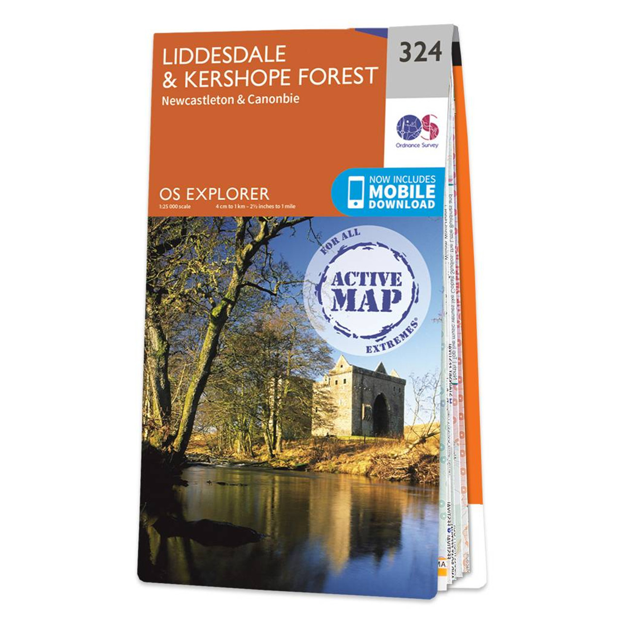
Map of Liddesdale & Kershope Forest - OS Explorer Map 324 (Newcastleton & Canonbie) Format: Folded map Physical Size: 952 x 1270 mm (133 x 240 mm folded) Standard Publication Date: 29/10/2015 Weatherproof Publication Date: 29/10/2015
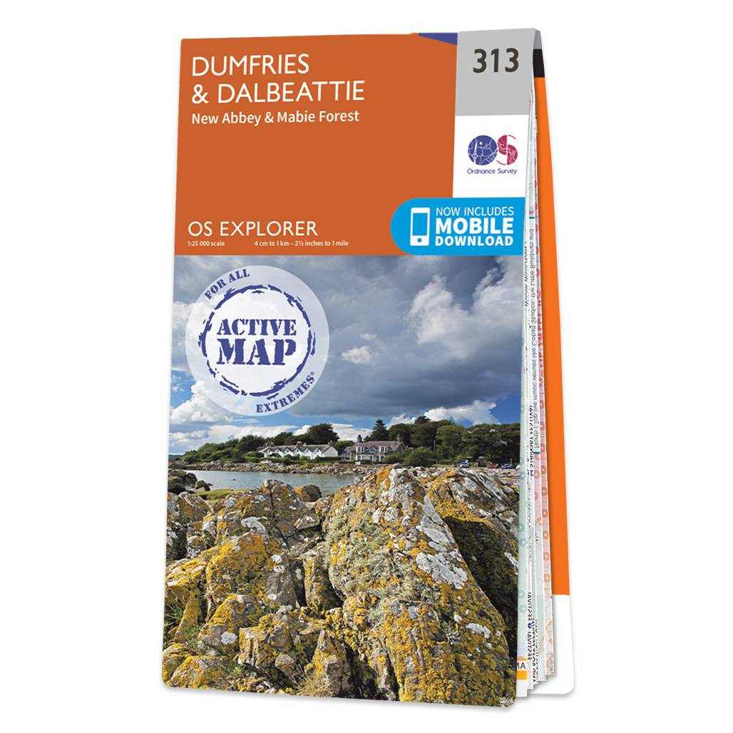
Map of Dumfries & Dalbeattie - OS Explorer Map 313 (New Abbey & Mabie Forest) Format: Folded map Physical Size: 952 x 1270 mm (133 x 240 mm folded) Standard Publication Date: 16/09/2015 Weatherproof Publication Date: 16/09/2015

Map of Bideford, Ilfracombe & Barnstaple - OS Explorer Map 139 (Woolacombe & Lundy) Standard Publication Date: 12/06/2023 Weatherproof Publication Date: 20/06/2023
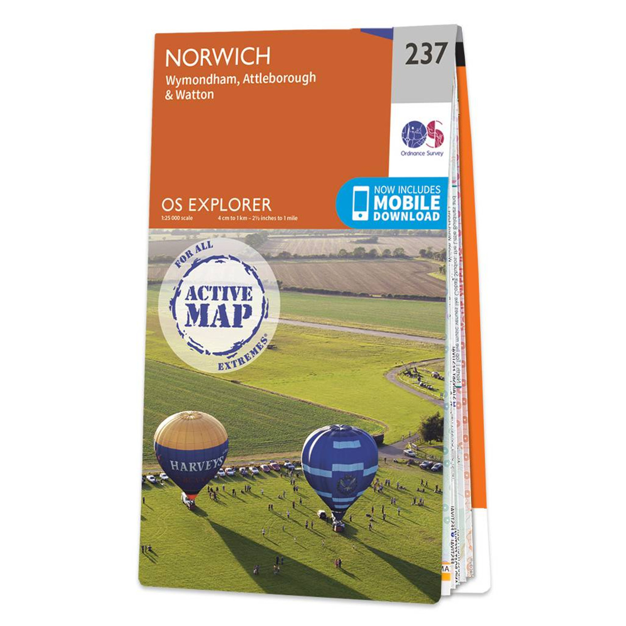
Map of Norwich - OS Explorer Map 237 (Wymondham, Attleborough & Watton) Standard Publication Date: 24/09/2018 Weatherproof Publication Date: 10/02/2023

The bestselling puzzle book series is back with a whole new twist on a treasure hunt. A follow up to the bestselling 2018 & 2019 Ordnance Survey Puzzle Books, the Ordnance Survey Great British Treasure Hunt is here with puzzles based on 40 brand new maps...

Map of Bolton, Wigan & Warrington - OS Explorer Map 276 Format: Folded map Physical Size: 952 x 1270 mm (133 x 240 mm folded) Standard Publication Date: 05/03/2020 Weatherproof Publication Date: 11/06/2020
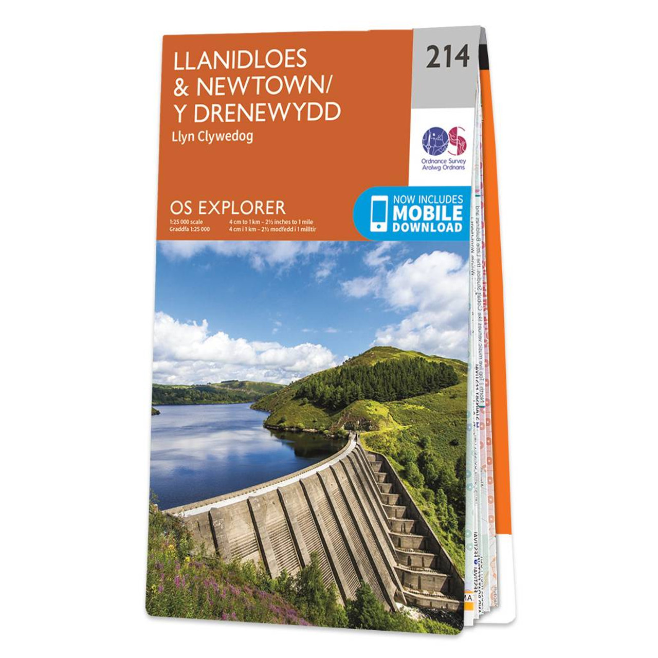
Map of Llanidloes & Newtown - OS Explorer Map 214 (Llyn Clywedog) Format: Folded map Physical Size: 890 x 1000 mm (134 x 227 mm folded) Standard Publication Date: 16/09/2015 Weatherproof Publication Date: 10/02/2023
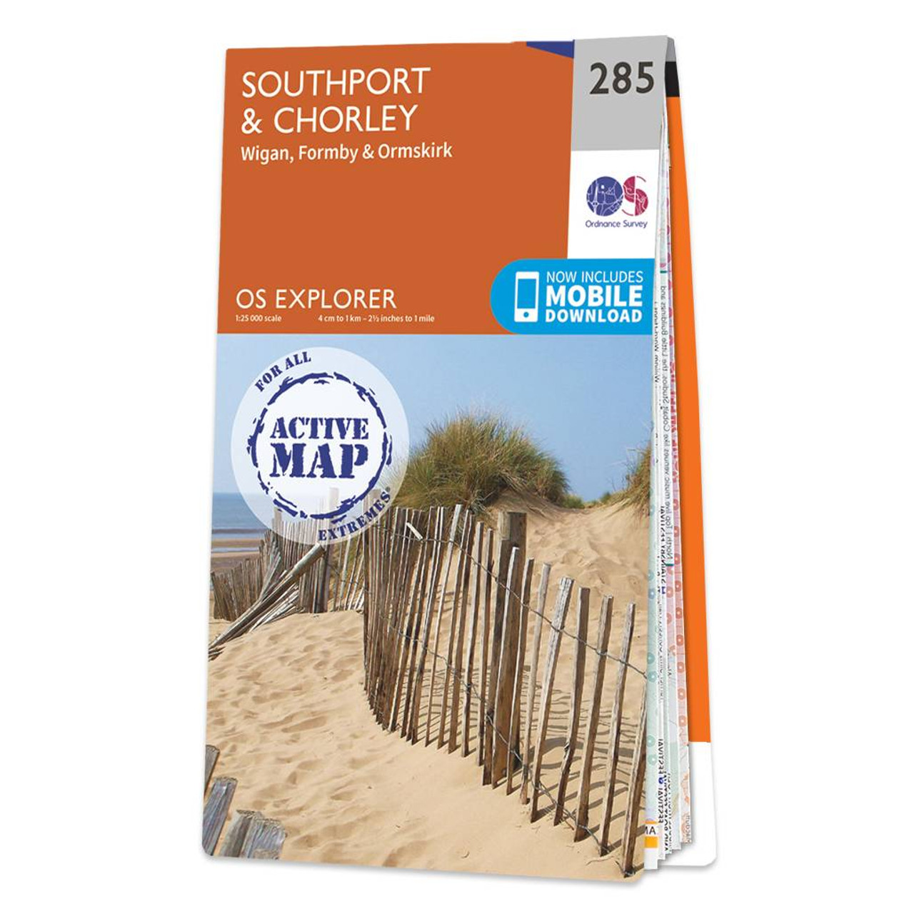
Map of Southport & Chorley - OS Explorer Map 285 (Wigan, Formby & Ormskirk) Format: Folded map Physical Size: 890 x 1000 mm (134 x 227 mm folded) Standard Publication Date: 28/04/2025 Weatherproof Publication Date: 16/09/2015
|
|