Purchase the Ben Alder, Loch Ericht & Loch Laggan folded map: single-sided (boarded cover) from the OS Explorer Map range Standard Publication Date: 10/06/2015 Weatherproof Publication Date: 10/06/2015
Blackburn & Burnley (inc. Clitheroe & Skipton) map - OS Landranger 103 Standard Publication Date: 24/02/2016 Weatherproof Publication Date: 24/02/2016
Hexham & Haltwhistle map - OS Landranger 87 Standard Publication Date: 19/05/2025 Weatherproof Publication Date: 24/02/2016
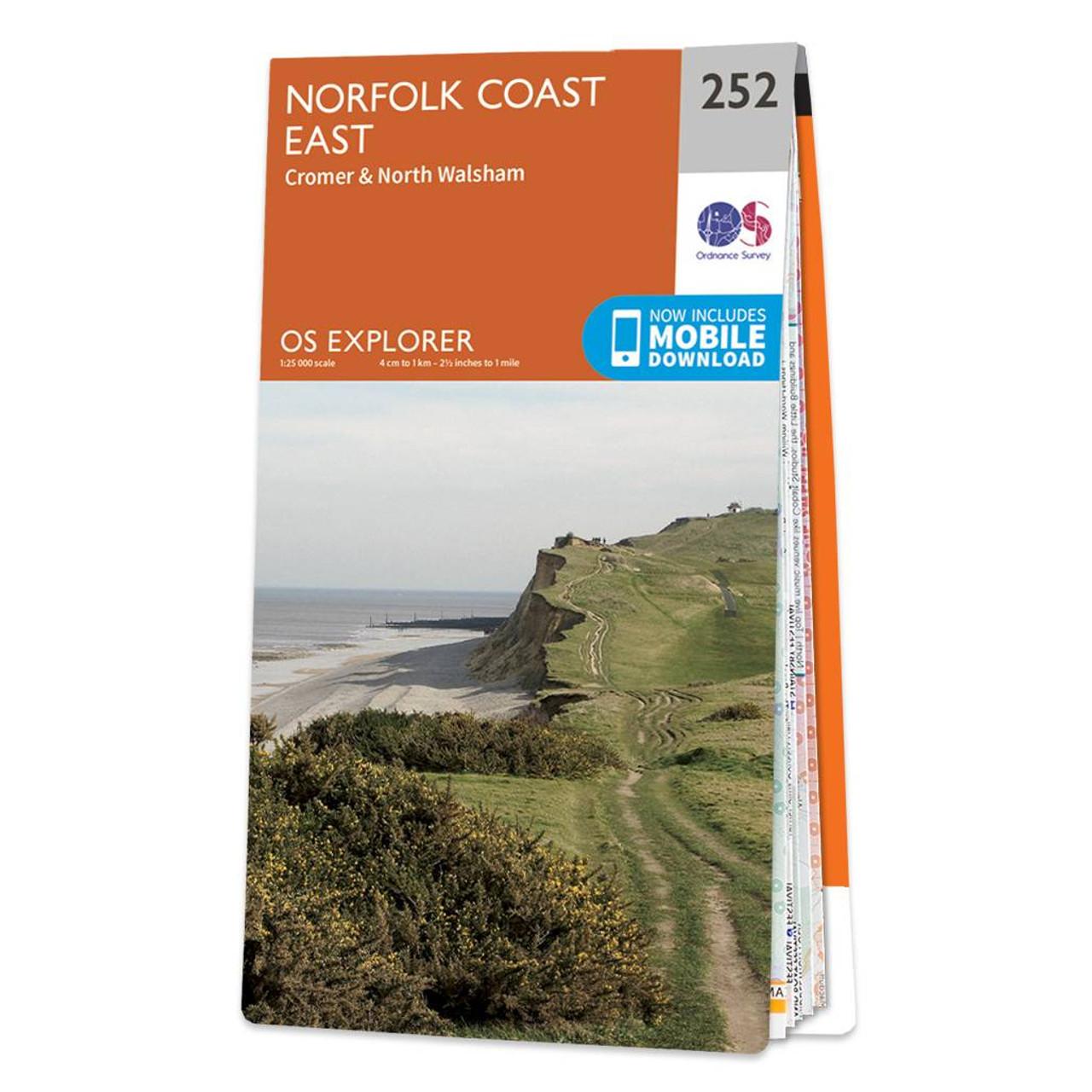
The OS Explorer map of Norfolk Coast East, including Cromer & North Walsham, is a must-have when visiting the area. Soak in the tranquillity of the River Bure, explore the Market Town of North Walsham, and see what the Norfolk Coast path national trail...
Map of Newmarket & Haverhill - OS Explorer Map 210 (Barrow, Clare & Kedington) Format: Folded map Physical Size: 952 x 1270 mm (133 x 240 mm folded) Standard Publication Date: 16/09/2015 Weatherproof Publication Date: 16/09/2015
Boston & Spalding map - OS Landranger 131 Standard Publication Date: 02/05/2019 Weatherproof Publication Date: 17/07/2019
Map of Wrexham & Llangollen - OS Explorer Map 256 Format: Folded map Physical Size: 1270 x 952 mm (133 x 240 mm folded) Standard Publication Date: 16/09/2015 Weatherproof Publication Date: 16/09/2015
Map of Carmarthen & Kidwelly - OS Explorer Map 177 (Pendine & Laugharne) Standard Publication Date: 16/09/2015 Weatherproof Publication Date: 16/09/2015
Ballater & Glen Clova map - OS Landranger 44 Standard Publication Date: 19/07/2021 Weatherproof Publication Date: 29/09/2021
Map of Sanquhar & New Cumnock - OS Explorer Map 328 (Muirkirk & Moniaive) Format: Folded map Physical Size: 1000 x 890 mm (134 x 227 mm folded) Standard Publication Date: 16/09/2015 Weatherproof Publication Date; 16/09/2015
|
|