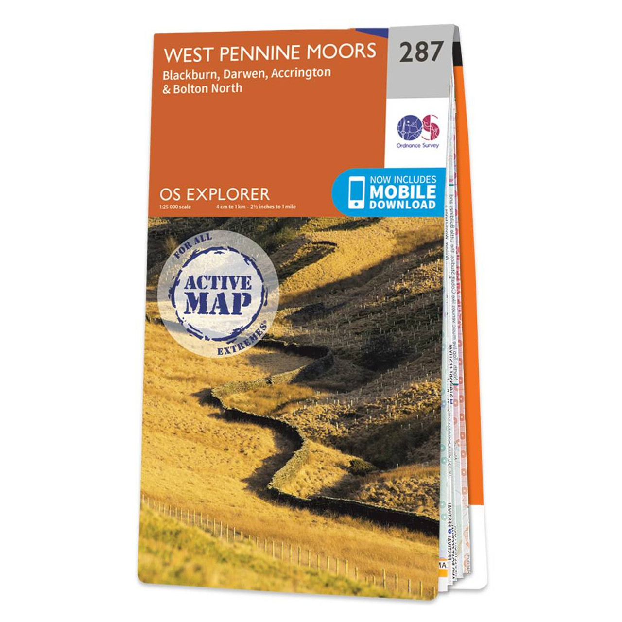
The OS Explorer map of West Pennine Moors, including Blackburn, Darwen, Accrington, and Bolton North. OS Explorer 287 covers an area to the west of the Pennines, including a section of the Forset of Bowland — a dramatic peat moorland filled with deep...

Map of Maidstone & the Medway Towns - OS Explorer Map 148 Standard Publication Date: 28/04/2025 Weatherproof Publication Date: 16/09/2015
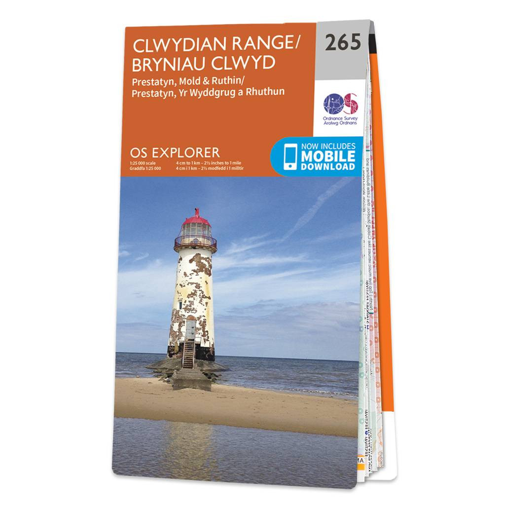
Map of Clwydian Range - OS Explorer Map 265 (Prestatyn, Mold & Ruthin) Format: Folded map Physical Size: 1270 x 952 mm (133 x 240 mm folded) Standard Publication Date: 27/11/2024 Weatherproof Publication Date: 20/01/2025
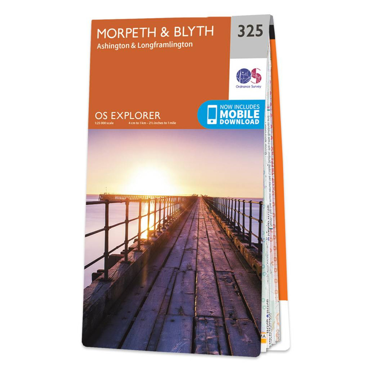
Map of Morpeth & Blyth - OS Explorer Map 325 (Ashington & Longframlington) Standard Publication Date: 10/09/2020 Weatherproof Publication Date: 28/10/2020
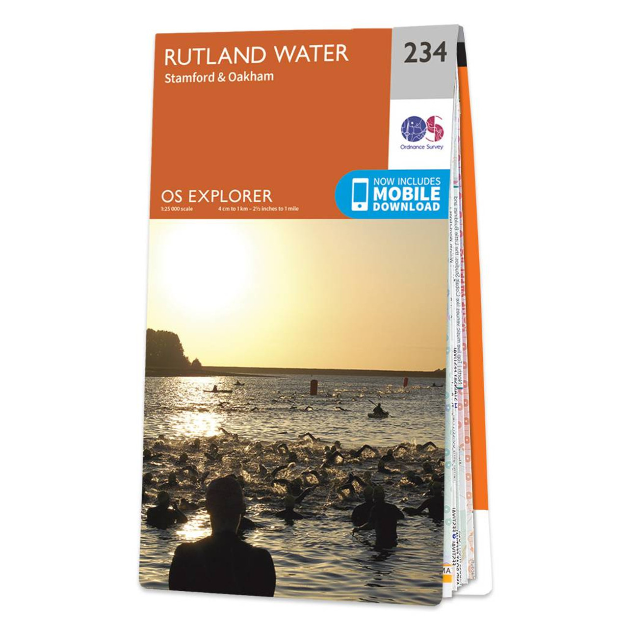
Map of Rutland Water - OS Explorer Map 234 (Stamford & Oakham) Standard Publication Date: 05/12/2023 Weatherproof Publication Date: 16/09/2015

Purchase the Bedford & St Neots folded map: double-sided (boarded cover) from the OS Explorer Map range Format: Folded map Physical Size: 1000 x 890 mm (134 x 227 mm folded) Standard Publication Date: 16/09/2015 Weatherproof Publication Date: 29/04/2024

Map of Buckingham & Milton Keynes - OS Explorer Map 192 (Leighton Buzzard & Woburn) Format: Folded map Physical Size: 890 x 1000 mm (134 x 227 mm folded) Standard Publication Date: 16/09/2015 Weatherproof Publication Date: 16/09/2015

Map of Manchester & Salford - OS Explorer Map 277 (Oldham, Rochdale & Stockport) Standard Publication Date: 16/09/2015 Weatherproof Publication Date: 16/09/2015

Map of Lleyn Peninsula West - OS Explorer Map 253 (Pwllheli, Abersoch & Aberdaron) Format: Folded map Physical Size: 1270 x 952 mm (133 x 240 mm folded) Standard Publication Date: 17/04/2024 Weatherproof Publication: 08/10/2024

Map of Stroud, Tetbury & Malmesbury - OS Explorer Map 168 Format: Folded map Physical Size: 952 x 1270 mm (133 x 240 mm folded) Standard Publication Date: 16/09/2015 Weatherproof Publication Date: 16/09/2015
|
|