Map of Lake Vyrnwy & Llanfyllin - OS Explorer Map 239 (Tanat Valley) Standard Publication Date: 16/09/2015 Weatherproof Publication Date: 16/09/2015
Map of Okehampton - OS Explorer Map 113 (Hatherleigh, North Tawton & Lapford) Standard Publication Date: 16/09/2015 Weatherproof Publication Date: 16/09/2015
Map of Bishop Auckland - OS Explorer Map 305 (Spennymoor, Newton Aycliffe, Sedgefield & Crook) Format: Folded map Physical Size: 1270 x 952 mm (133 x 240 mm folded) Standard Publication Date: 16/09/2015 Weatherproof Publication Date: 16/09/2015
Map of Shaftesbury & Cranborne Chase - OS Explorer Map 118 (Poole, Wimborne Minster & Blandford Forum) Standard Publication Date: 03/12/2018 Weatherproof Publication Date: 14/02/2019
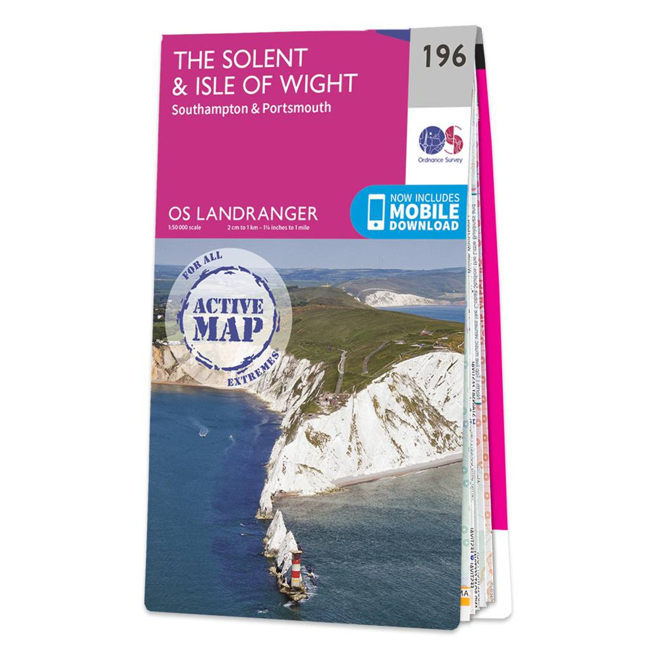
The Solent & Isle of Wight Landranger map is a must-have companion, be it for a day trip or holiday.Accessing the Isle is and adventure in itself, you can take a car ferry from Portsmouth, Southampton, or Lymington. There is also a hovercraft for foot...

OSI Discovery Sheet No. 50 covers part of County Dublin, Kildare, Meath and Wicklow at a 1:50 000 scale and is designed for all sorts of leisure activities including walking, cycling and tourism. Features shown on the Discovery series include walking...
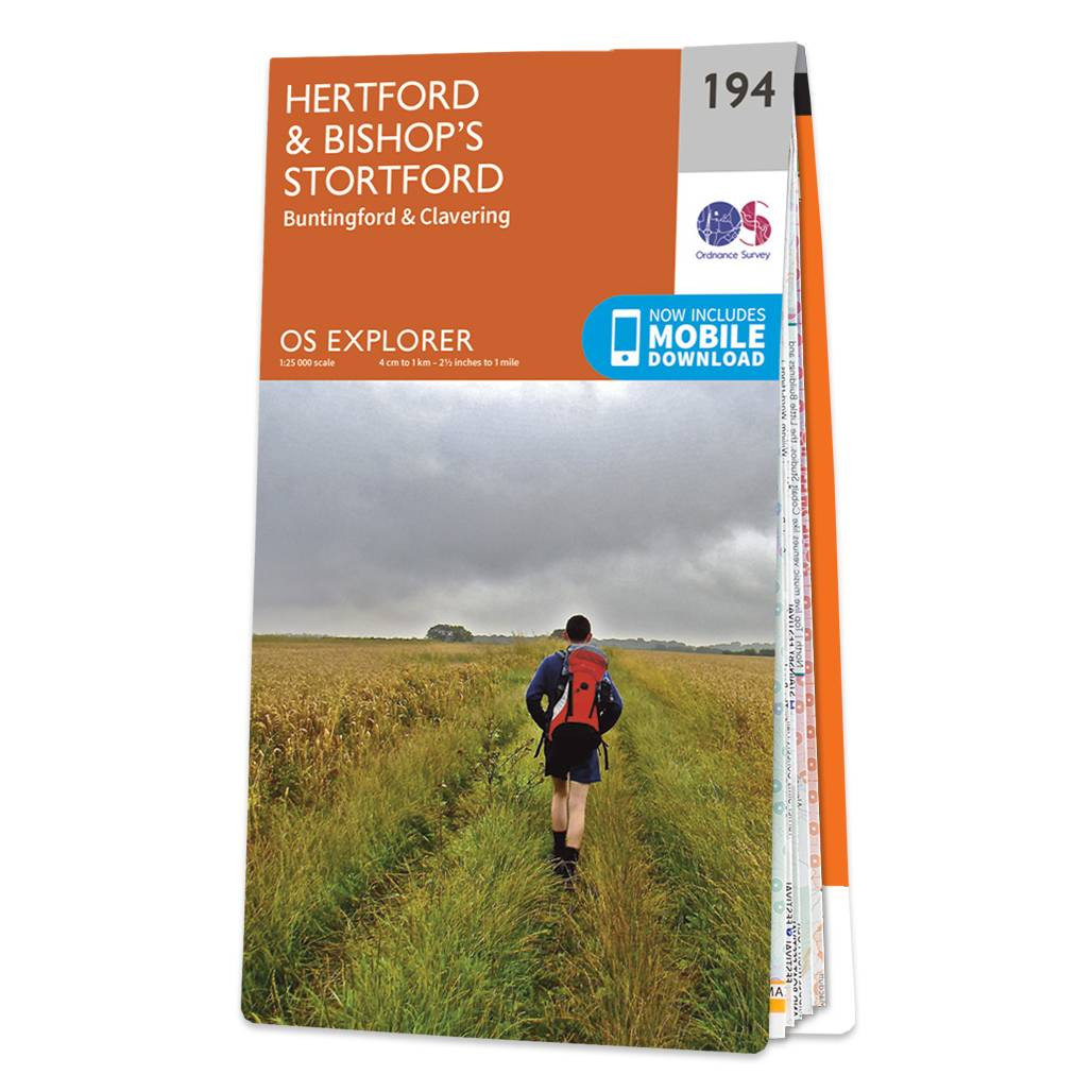
Map of Hertford & Bishop's Stortford - OS Explorer Map 194 (Buntingford & Clavering) Format: Folded map Physical Size: 952 x 1270 mm (133 x 240 mm folded) Standard Publication Date: 16/09/2015 Weatherproof Publication Date: 16/09/2015

OSI Discovery Sheet No. 85 covers part of County Cork and Kerry at a 1:50 000 scale and is designed for all sorts of leisure activities including walking, cycling and tourism. Features shown on the Discovery series include walking trails, cycle routes,...

OSI Discovery Sheet No. 64 covers part of County Clare, Limerick and Kerry at a 1:50 000 scale and is designed for all sorts of leisure activities including walking, cycling and tourism. Features shown on the Discovery series include walking trails, cycle...

OSI Discovery Sheet No. 58 covers part of County Clare, Limerick and Tipperary at a 1:50 000 scale and is designed for all sorts of leisure activities including walking, cycling and tourism. Features shown on the Discovery series include walking trails,...
|
|