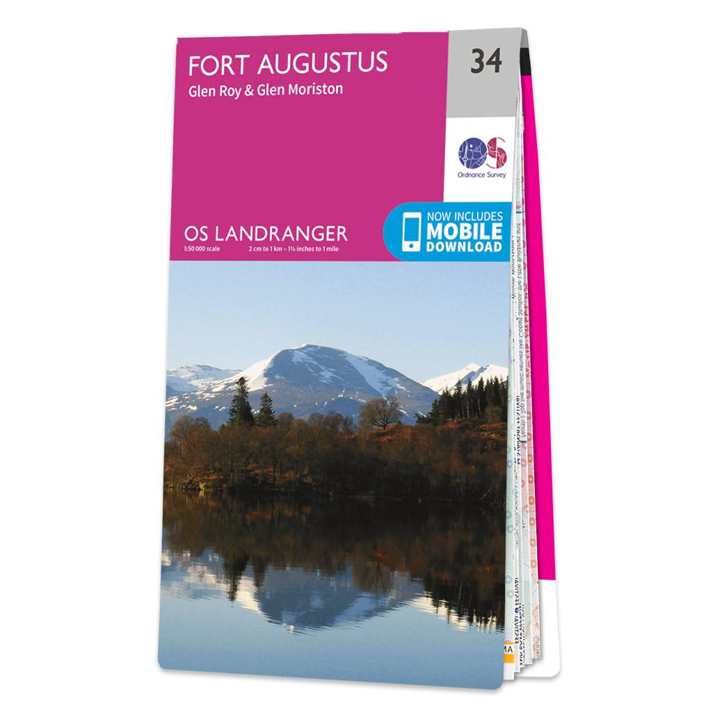
Fort Augustus (inc. Glen Albyn & Glen Roy) map - OS Landranger 34 Format: Folded map Physical Size: 1000 x 890 mm (134 x 227 mm folded) Standard Publication Date: 16/05/2022 Weatherproof Publication Date: 24/02/2016
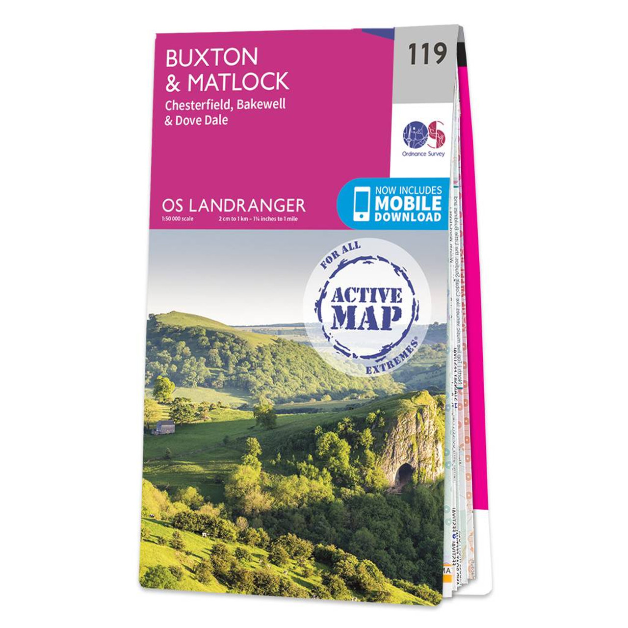
The Landranger map of Buxton & Matlock, including Chesterfield, Bakewell, and Dove Dale is a must-have for your next trip to the area. Landranger maps are perfect for extensive hikes, cycling, and driving holidays. Ideal for planning days out or extensive...

OSI Discovery Sheet No. 60 covers part of County Kilkenny, Laois and Tipperary at a 1:50 000 scale and is designed for all sorts of leisure activities including walking, cycling and tourism. Features shown on the Discovery series include walking trails,...
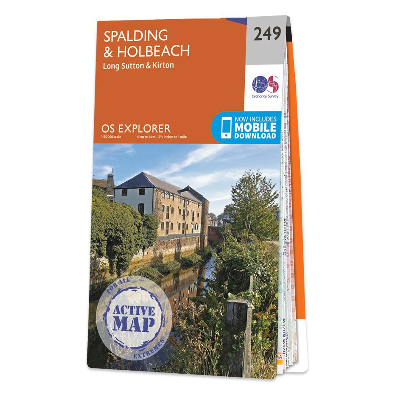
Map of Spalding & Holbeach - OS Explorer Map 249 (Long Sutton & Kirton) Standard Publication Date: 16/09/2015 Weatherproof Publication Date: 16/09/2015
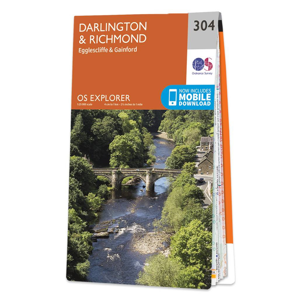
Map of Darlington & Richmond - OS Explorer Map 304 (Egglescliffe & Gainford) Standard Publication Date: 16/09/2015 Weatherproof Publication Date: 16/09/2015

OSI Discovery Sheet No. 48 covers part of Offaly and Westmeath at a 1:50 000 scale and is designed for all sorts of leisure activities including walking, cycling and tourism. Features shown on the Discovery series include walking trails, cycle routes,...

OSI Discovery Sheet No. 36 covers part of County Armagh, Down, Louth, Meath and Monaghan at a 1:50 000 scale, and is designed for all sorts of leisure activities including walking, cycling and tourism. Features shown on the Discovery series include walking...
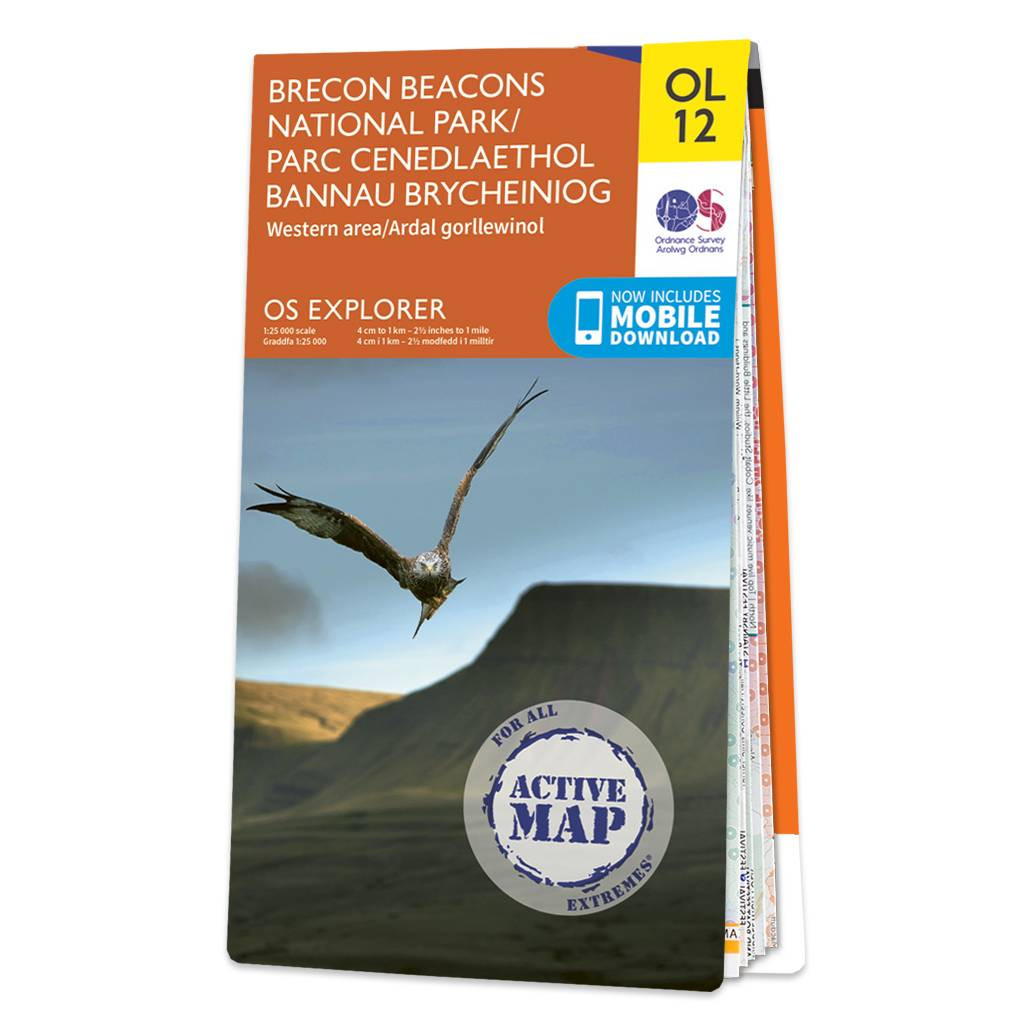
The OS Explorer map of Brecon Beacons, Western Area is a must-have when visiting the Western Area of the National Park. Whether you're interests are summiting Pen-y-Fan — the highest peak in South Wales, exploring local villages such as the quaint Sennybridge,...

OSI Discovery Sheet No. 31 covers part of County Mayo at a 1:50 000 scale, and is designed for leisure activities including walking, cycling and tourism. Features shown on the Discovery series include walking trails, cycle routes, forest parks and nature...

OSI Discovery sheet 01 covers part of County Donegal at a 1:50 000 scale and is designed for all sorts of leisure activities including walking, cycling and tourism. Features shown on the Discovery series include walking trails, cycle routes, forest parks...
|
|