Purchase the Ardnamurchan folded map: double-sided (boarded cover) from the OS Explorer Map range Format: Folded map Physical Size: 890 x 1000 mm (134 x 227 mm folded) Standard Publication Date: 16/09/2015 Weatherproof Publication Date: 16/09/2015

Map of Raasay, Rona & Scalpay - OS Explorer Map 409 Format: Folded map Physical Size: 952 x 1270 mm (133 x 240 mm folded) Standard Publication Date: 16/09/2015 Weatherproof Publication Date: 16/09/2015

Map of Helmsdale & Strath of Kildonan - OS Explorer Map 444 Format: Folded map Physical Size: 1000 x 890 mm (134 x 227 mm folded) Standard Publication Date: 16/09/2015 Weatherproof Publication Date: 16/09/2015
Map of Gairloch & Loch Ewe - OS Explorer Map 434 Format: Folded map Physical Size: 952 x 1270 mm (133 x 240 mm folded) Standard Publication Date: 16/09/2015 Weatherproof Publication Date: 16/09/2015
Map of Perth & Kinross - OS Explorer Map 369 (Ochil Hills East & Loch Leven) Standard Publication Date: 16/09/2015 Weatherproof Publication Date: 16/09/2015
Map of Glenrothes North, Falkland & Lomond Hills - OS Explorer Map 370 (Auchtermuchty & Cupar) Format: Folded map Physical Size: 952 x 1270 mm (133 x 240 mm folded) Standard Publication Date: 11/05/2023 Weatherproof Publication Date: 11/05/2023
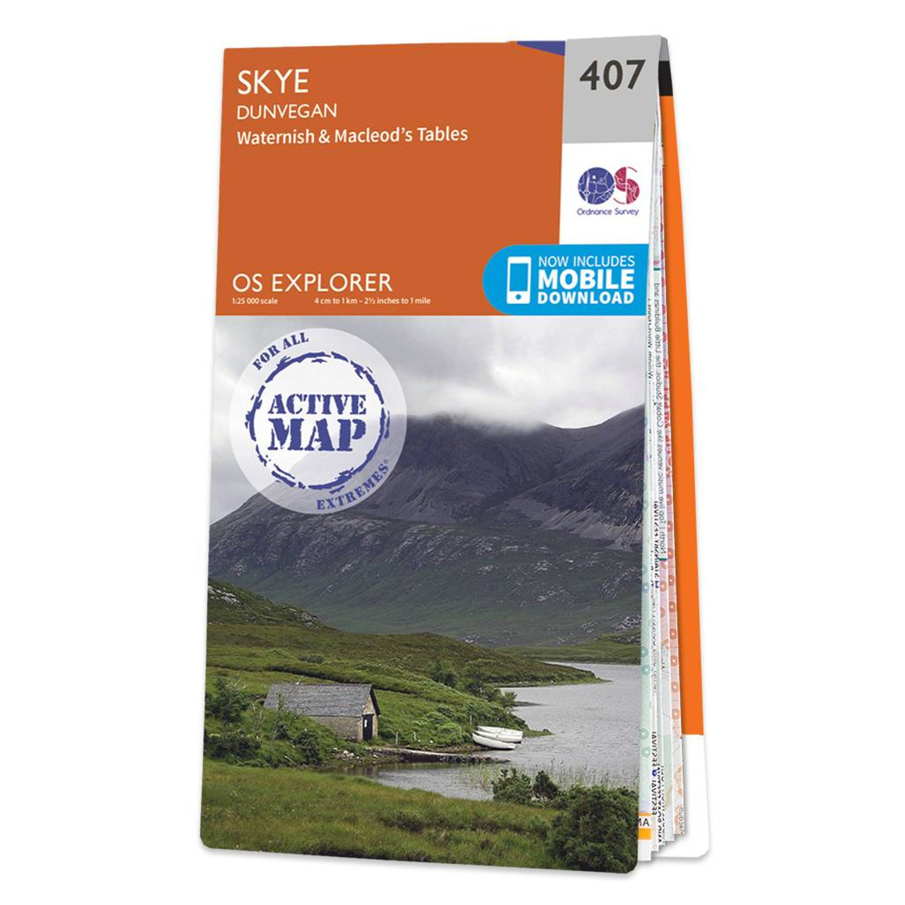
Map of Skye - Dunvegan - OS Explorer Map 407 (Waternish & Macleod's Tables) Standard Publication Date: 16/09/2015 Weatherproof Publication Date: 16/09/2015
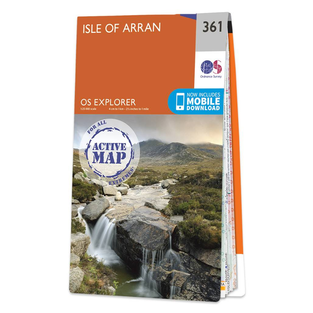
Map of Isle of Arran - OS Explorer Map 361 Format: Folded map Physical Size: 1000 x 890 mm (134 x 227 mm folded) Standard Publication Date: 01/03/2021 Weatherproof Publication Date: 01/03/2021
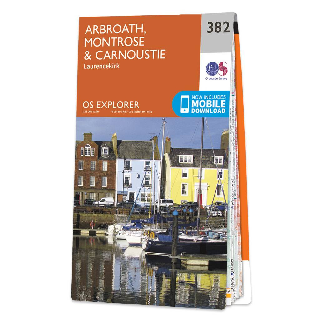
Purchase the Arbroath, Montrose & Carnoustie folded map: double-sided (boarded cover) from the OS Explorer Map range Format: Folded map Physical Size: 890 x 1000 mm (134 x 227 mm folded) Standard Publication Date: 16/09/2015 Weatherproof Publication Date:...
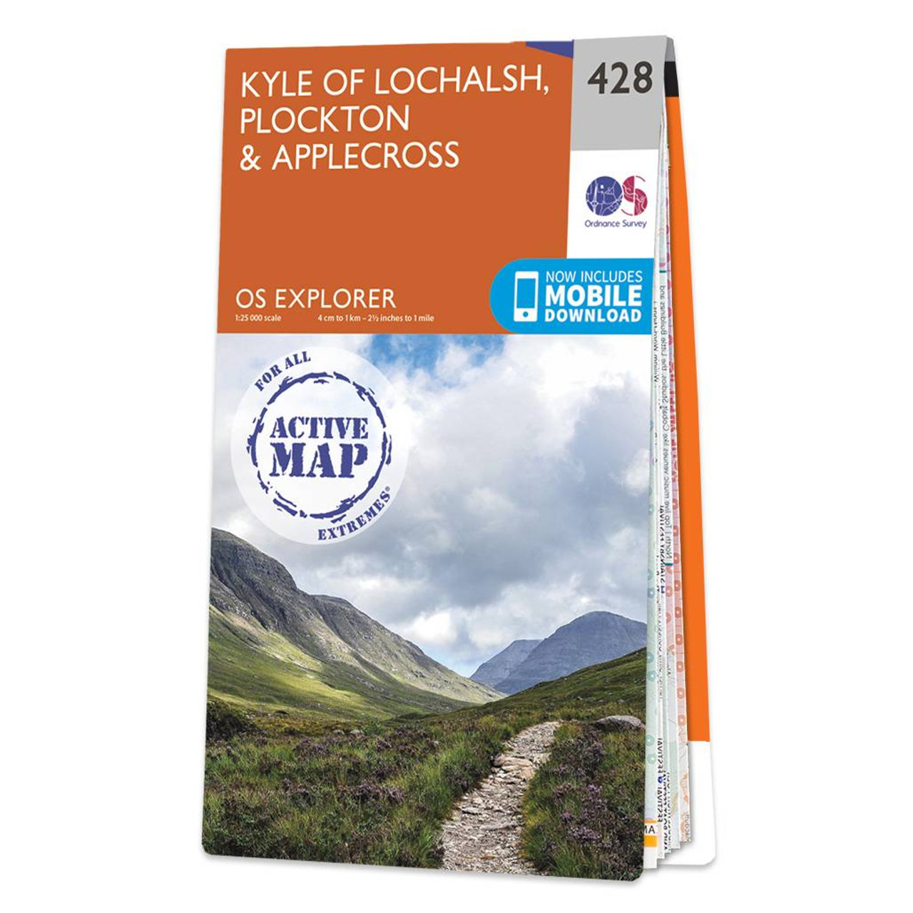
Map of Kyle of Lochalsh, Plockton & Applecross - OS Explorer Map 428 Format: Folded map Physical Size: 1000 x 890 mm (134 x 227 mm folded) Standard Publication Date: 16/09/2015 Weatherproof Publication Date: 16/09/2015
|
|