
An authentic reproduction Ordnance Survey map of Salisbury from the Revised New Edition, 1896 to 1904. Printed flat, and delivered rolled in a tube. About our range of historical maps Our stunning Ordnance Survey Historical Maps make ideal gifts. Perfect...

An authentic reproduction Ordnance Survey map of Bradford from the Revised New Edition, 1896 to 1904. Printed flat, and delivered rolled in a tube. About our range of historical maps Our stunning Ordnance Survey Historical Maps make ideal gifts. Perfect...

An authentic reproduction Ordnance Survey map of Lancaster from the Revised New Edition, 1896 to 1904. Printed flat, and delivered rolled in a tube. About our range of historical maps Our stunning Ordnance Survey Historical Maps make ideal gifts. Perfect...

An authentic reproduction Ordnance Survey map of Ipswich from the Revised New Edition, 1896 to 1904. Printed flat, and delivered rolled in a tube. About our range of historical maps Our stunning Ordnance Survey Historical Maps make ideal gifts. Perfect...

An authentic reproduction Ordnance Survey map of York from the Revised New Edition, 1896 to 1904. Printed flat, and delivered rolled in a tube. About our range of historical maps Our stunning Ordnance Survey Historical Maps make ideal gifts. Perfect for...
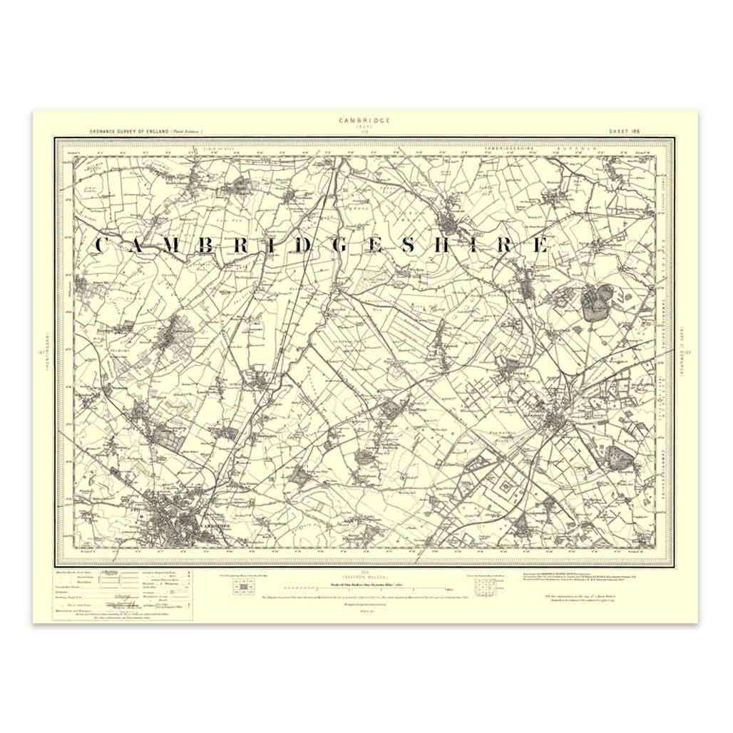
An authentic reproduction Ordnance Survey map of Cambridge from the Revised New Edition, 1896 to 1904. Printed flat, and delivered rolled in a tube. About our range of historical maps Our stunning Ordnance Survey Historical Maps make ideal gifts. Perfect...
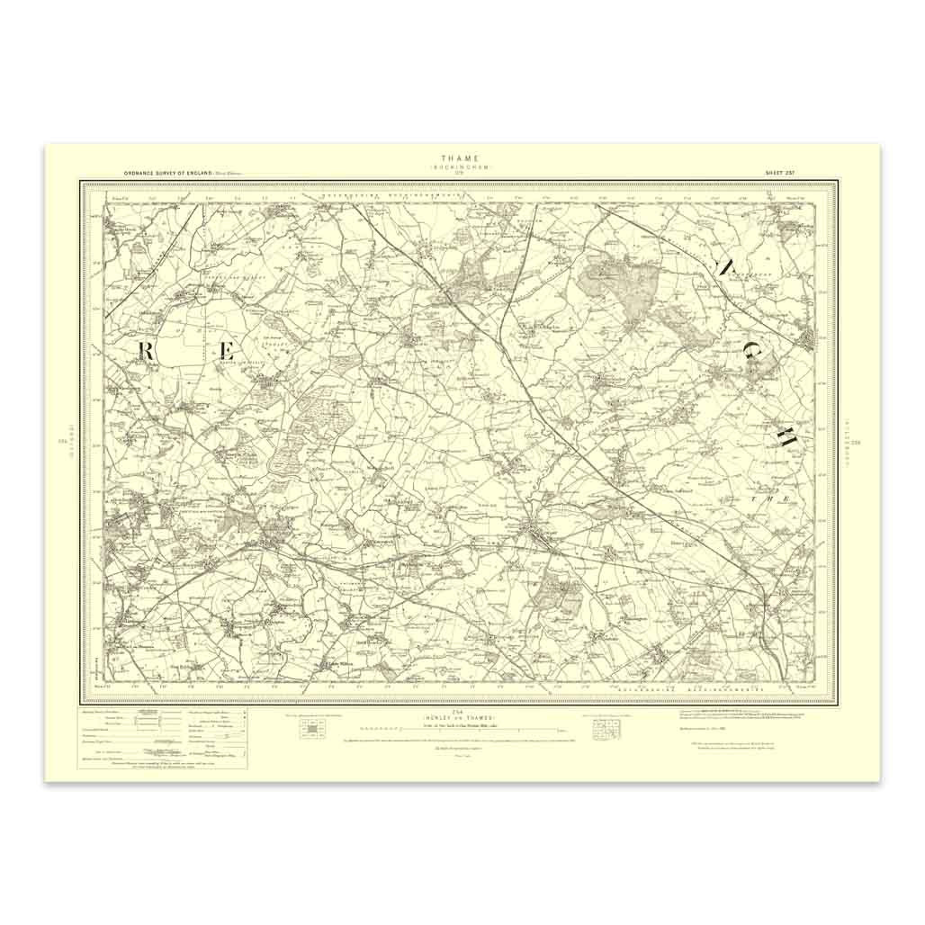
An authentic reproduction Ordnance Survey map of Thame from the Revised New Edition, 1896 to 1904. Printed flat, and delivered rolled in a tube. About our range of historical maps Our stunning Ordnance Survey Historical Maps make ideal gifts. Perfect...
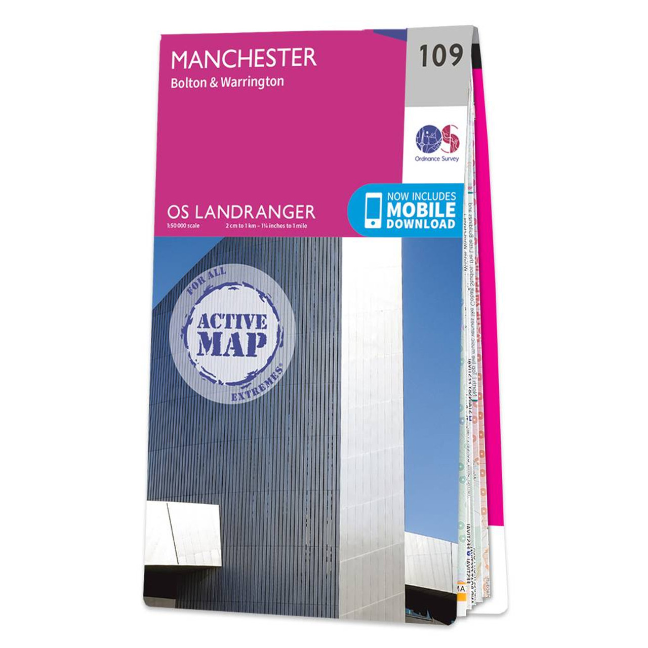
Manchester (inc. Bolton & Warrington) map - OS Landranger 109 Standard Publication Date: 24/04/2019 Weatherproof Publication Date: 12/07/2019
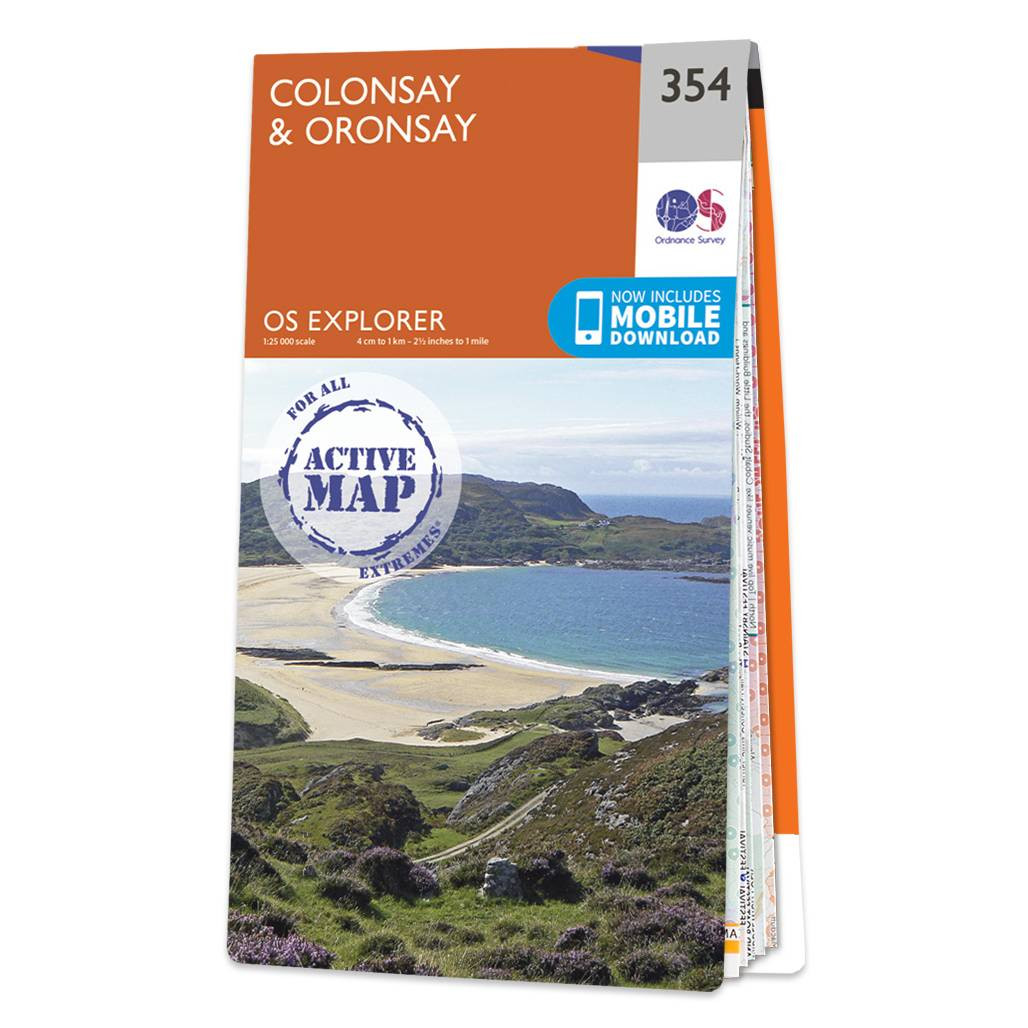
Map of Colonsay & Oronsay - OS Explorer Map 354 Format: Folded map Physical Size: 952 x 1270 mm (133 x 240 mm folded) Standard Publication Date: 16/09/2015 Weatherproof Publication Date: 16/09/2015
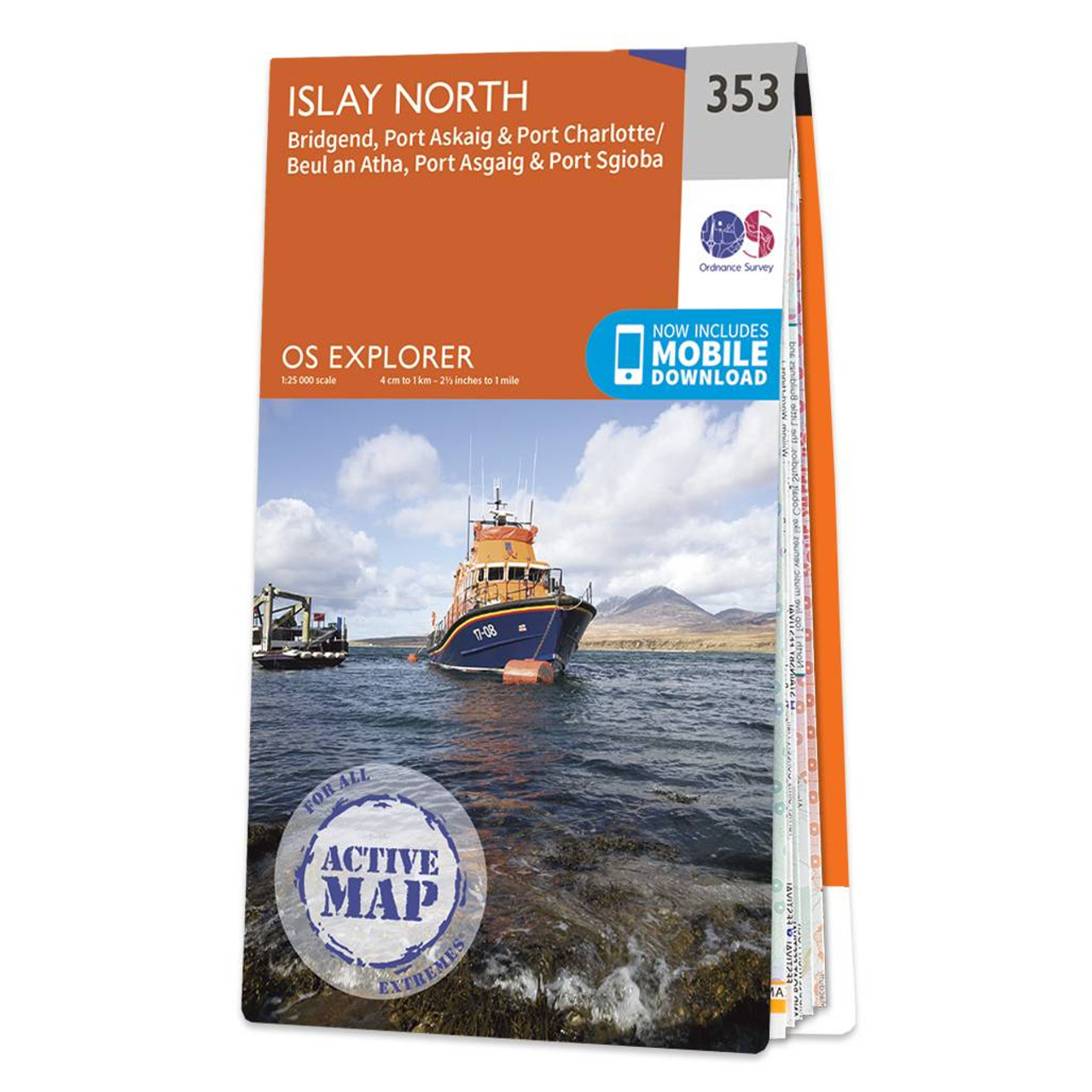
Map of Islay North - OS Explorer Map 353 (Port Askaig, Bridgend & Port Charlotte) Format: Folded map Physical Size: 890 x 1000 mm (134 x 227 mm folded) Standard Publication Date: 16/09/2015 Weatherproof Publication Date: 16/09/2015
|
|