Map of Winchester - OS Explorer Map OL 32 (New Alresford & East Meon) Standard Publication Date: 07/02/2022 Weatherproof Publication Date: 20/04/2022
Swansea & Gower (inc. Carmarthen) map - OS Landranger 159 Standard Publication Date: 25/05/2023 Weatherproof Publication Date: 05/12/2023
Bedford & Huntingdon (inc. St Neots & Biggleswade) map - OS Landranger 153 Format: Folded map Physical Size: 1000 x 890 mm (134 x 227 mm folded) Standard Publication Date: 27/11/2021 Weatherproof Publication Date: 24/05/2022
Explorer OL41 of displays the Forest of Bowland and Yorkshire Dales National Park near Clitheroe.It's a must-have when planning in depth explorations of the forest, with many recreational paths mapped including Dales High Way, Lancashire Coastal Way,...
Map of Isle of Wight - OS Explorer Map OL29 (Cowes, Newport, Ryde, Sandown, Shanklin, Yarmouth & Ventnor) Standard Publication Date: 20/05/2019 Weatherproof Publication Date: 14/05/2019
Purchase the Ben Lawers & Glen Lyon folded map: double-sided (boarded cover) from the OS Explorer Map range Standard Publication Date: 10/06/2015 Weatherproof Publication Date: 10/06/2015
The OS Explorer map of Eastbourne & Beachy Head, including Newhaven Seaford, Hailsham, and Heathfield, is a must-have when visiting the area. OS Explorer OL25 covers the seaside town of Eastbourne — the quintessential British holiday destination, as...
Stratford-upon-Avon (inc. Warwick & Banbury) map - OS Landranger 151 Standard Publication Date: 12/06/2023 Weatherproof Publication Date: 28/09/2023
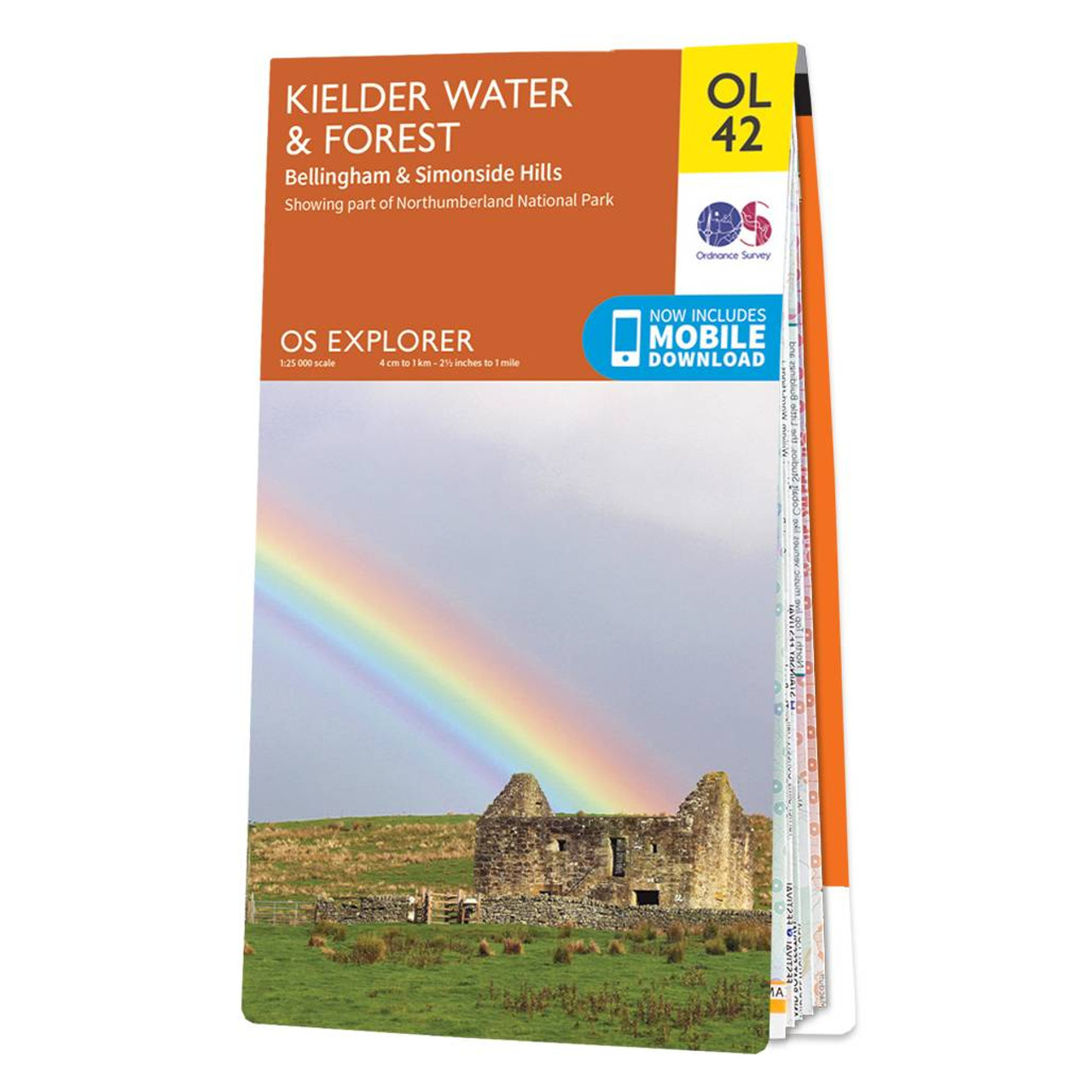
The OS Explorer map of Kielder Water & Forest, including Bellingham and Simonside Hills. This map is a must-have when visiting the area, it covers an area of Northumberland National Park, stretching from Kielder Forest in the West to Netherwitton in the...

An authentic reproduction Ordnance Survey map of Horsham from the Revised New Edition, 1896 to 1904. Printed flat, and delivered rolled in a tube. About our range of historical maps Our stunning Ordnance Survey Historical Maps make ideal gifts. Perfect...
|
|