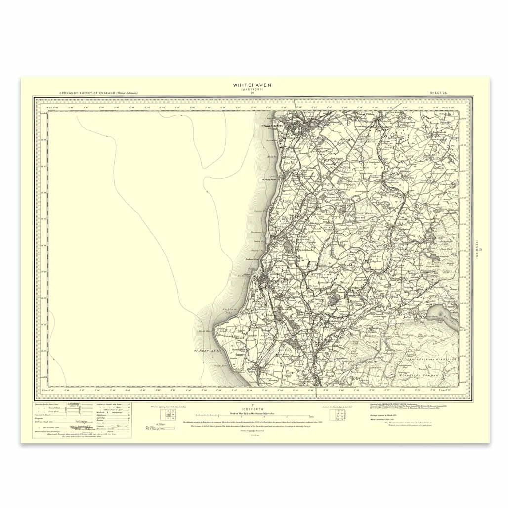
An authentic reproduction Ordnance Survey map of Whitehaven from the Revised New Edition, 1896 to 1904. Printed flat, and delivered rolled in a tube. About our range of historical maps Our stunning Ordnance Survey Historical Maps make ideal gifts. Perfect...

Bury St Edmunds (inc. Sudbury & Stowmarket) map - OS Landranger 155 Format: Folded map Physical Size: 1000 x 890 mm (134 x 227 mm folded) Standard Publication Date: 24/02/2016 Weatherproof Publication Date: 24/02/2016
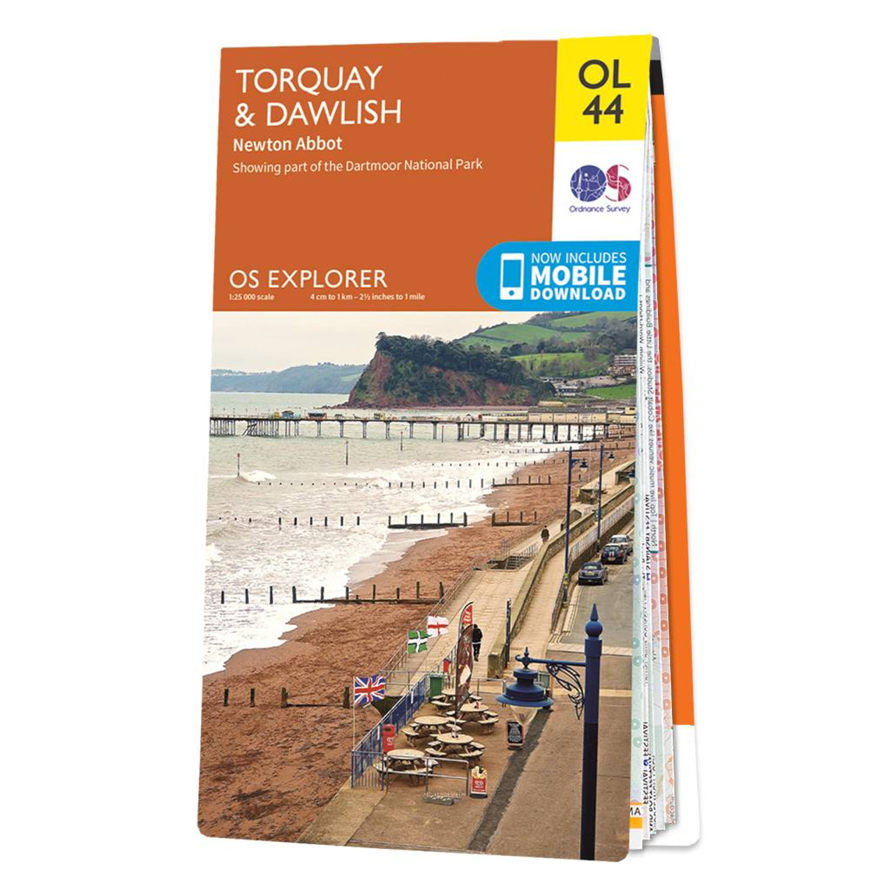
Map of Torquay & Dawlish - OS Explorer Map OL 44 (including Newton Abbot) Standard Publication Date: 26/04/2017 Weatherproof Publication Date: 05/07/2017
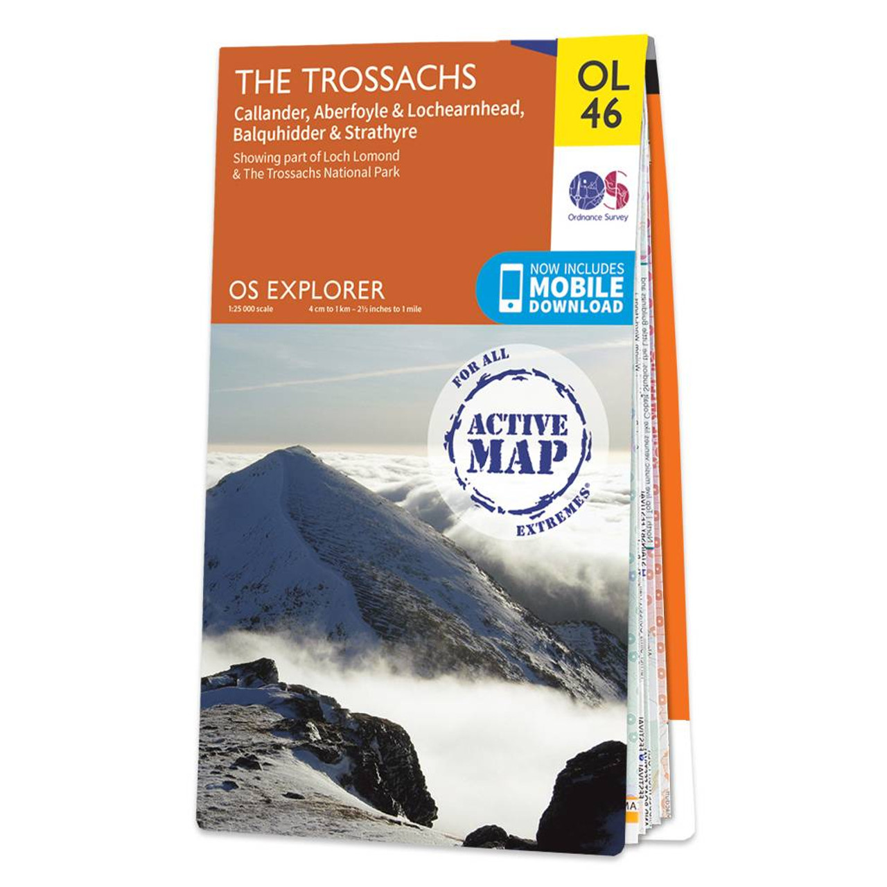
Map of The Trossachs - OS Explorer Map OL 46 (Callander, Aberfoyle & Lochearnhead Balquhidder & Strathyre) Standard Publcation Date: 08/01/2024 Weatherproof Publication Date: 08/01/2024
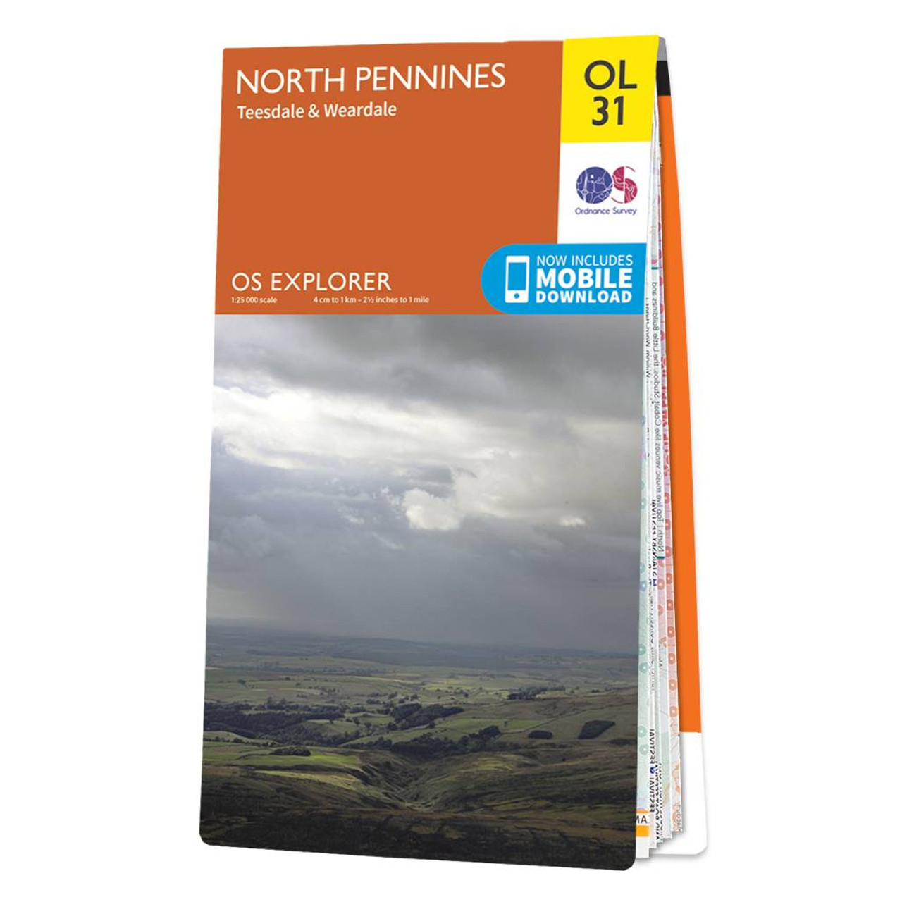
Map of North Pennines - OS Explorer Map OL31 (Teesdale & Weardale) Standard Publication Date: 14/06/2023 Weatherproof Publication Date: 22/09/2023

Purchase the Ben Lawers & Glen Lyon folded map: double-sided (boarded cover) from the OS Explorer Map range Standard Publication Date: 10/06/2015 Weatherproof Publication Date: 10/06/2015

Oxford (inc. Chipping Norton & Bicester) map - OS Landranger 164 Standard Publication Date: 22/09/2023 Weatherproof Publication Date: 02/11/2023
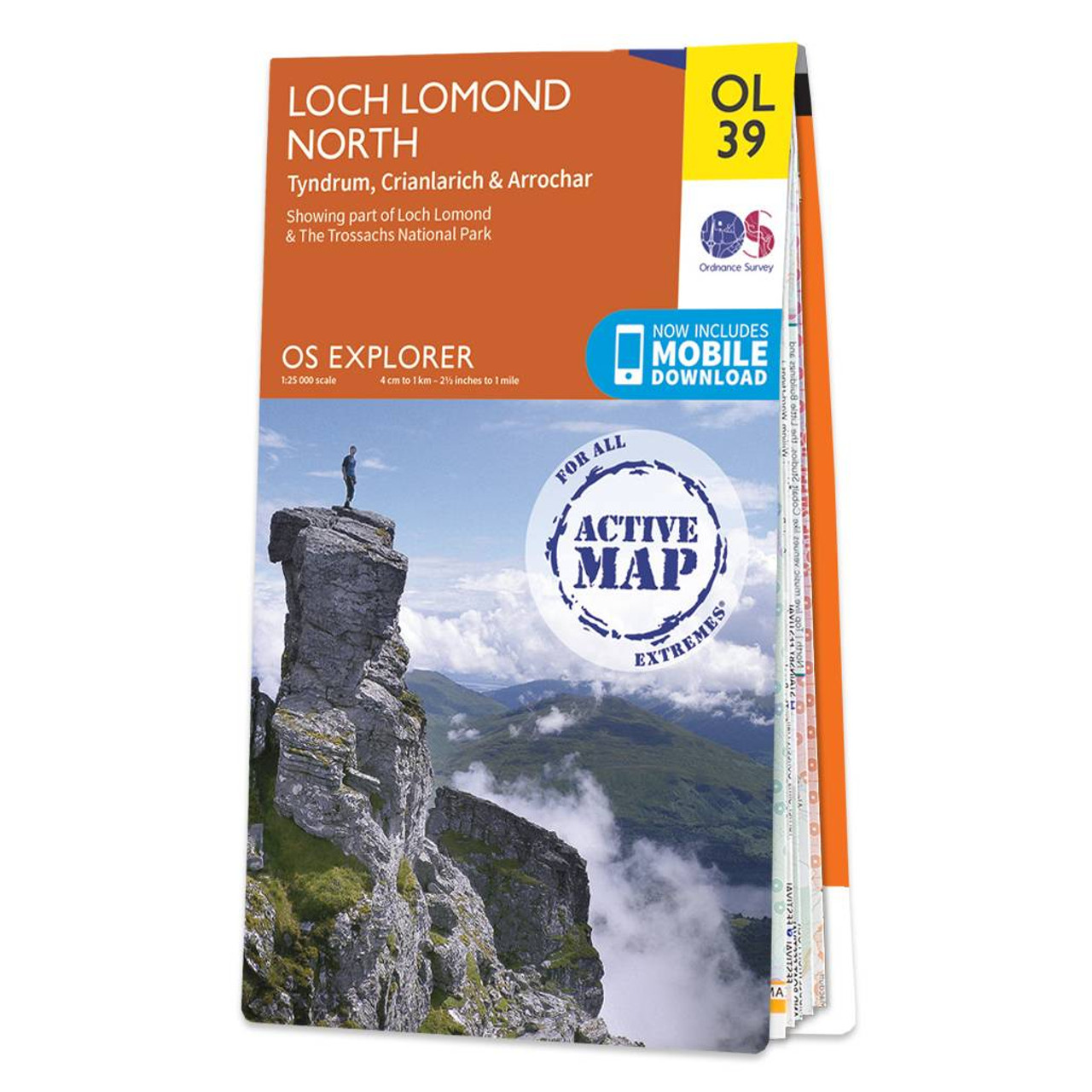
Map of Loch Lomond North - OS Explorer Map OL 39 (Tyndrum, Crianlarich & Arrochar), including Ben Lomond, Ben Lui, Beinn Bhuidhe and Ben Vorlich Standard Publication Date: 14/06/2018 Weatherproof Publication Date: 22/08/2018

Presteigne & Hay-on-Wye map - OS Landranger 148 Standard Publication Date: 10/02/2023 Weatherproof Publication Date: 10/02/2023
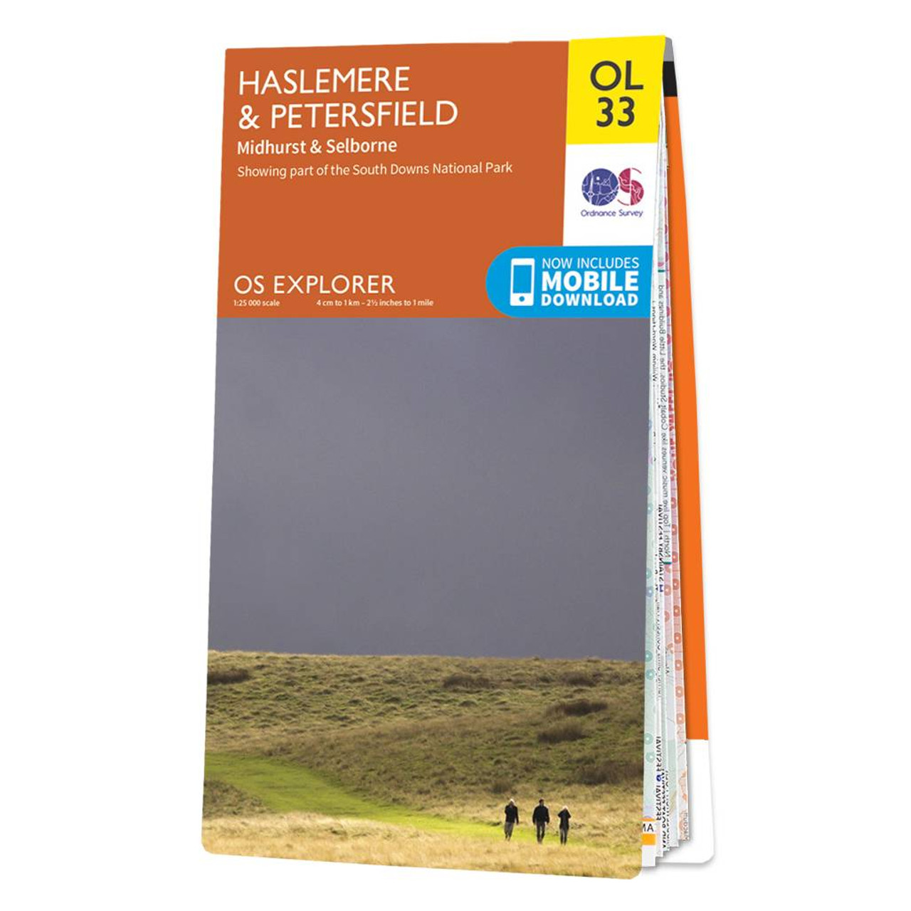
Map of Haslemere & Petersfield - OS Explorer Map OL 33 (Midhurst & Selborne) Standard Publication Date: 08/09/2021 Weatherproof Publication Date: 18/10/2021
|
|